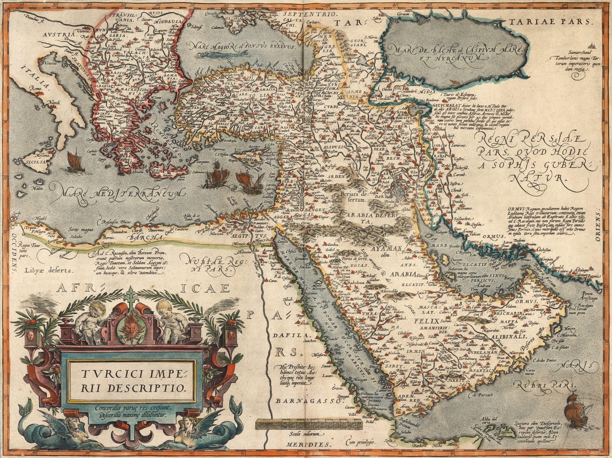
273. "Ottoman Empire Map", by Abraham Ortelius, Antwerp, end of 17th century-beginning of 18th century
Početna cijena
EUR 300
Prodano
EUR 300
Sesija
Uto., 7 listopada 2025 12:00
Opis
copper engraving, ribbed paper, hand colored
DODATNE INFORMACIJE
Za pojašnjenja u vezi s postupkom licitiranja, troškovima kupnje, uvjetima jamstva, plaćanja i preuzimanja osvojenog lota preporučujemo da pažljivo pročitate/ponovno pročitate Pravilnik o licitiranju.
Za dodatne informacije o lotu i aukciji kontaktirajte Odjel umjetničkih savjetnika.
Detalii
DODATNE INFORMACIJE
Za pojašnjenja u vezi s postupkom licitiranja, troškovima kupnje, uvjetima jamstva, plaćanja i preuzimanja osvojenog lota preporučujemo da pažljivo pročitate/ponovno pročitate Pravilnik o licitiranju.
Za dodatne informacije o lotu i aukciji kontaktirajte Odjel umjetničkih savjetnika.
Opis
copper engraving, ribbed paper, hand colored
Alternativni lotovi
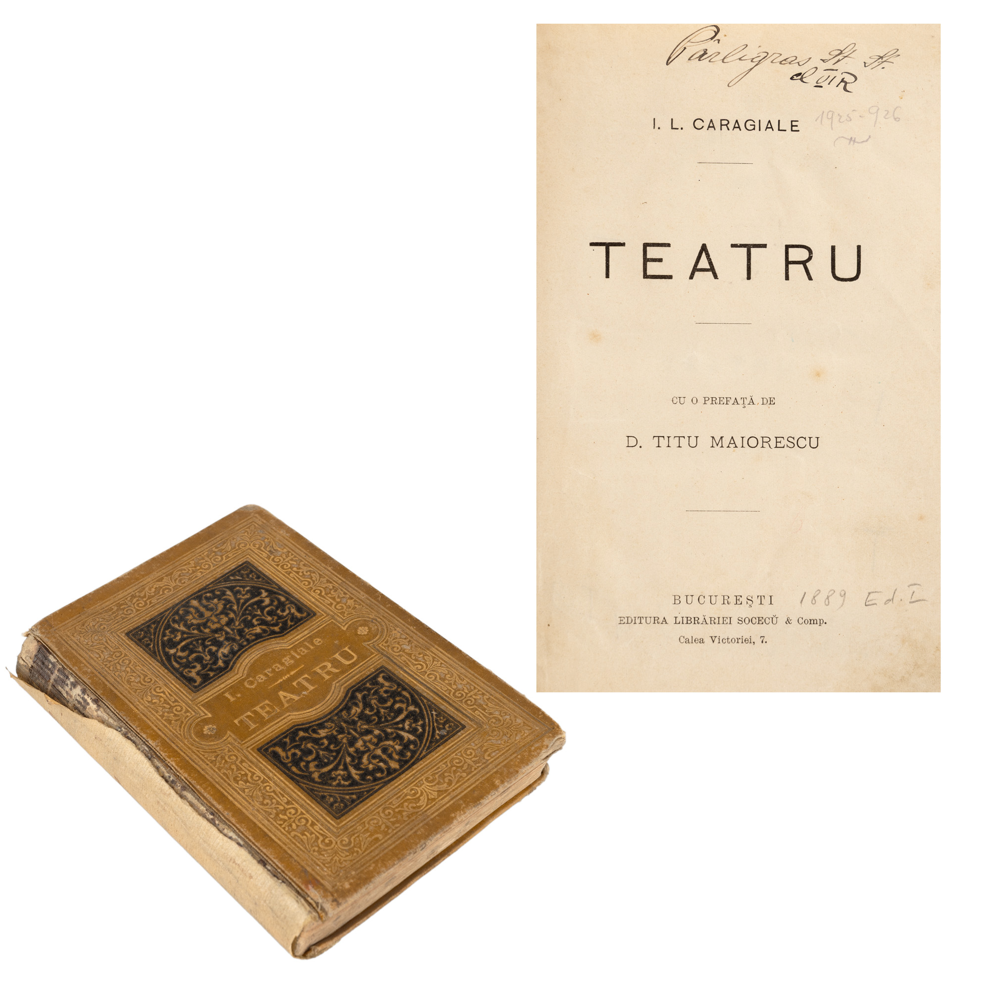
37. "Theater" by I.L. Caragiale, with a preface by Titu Maiorescu, Bucharest, 1889, first edition
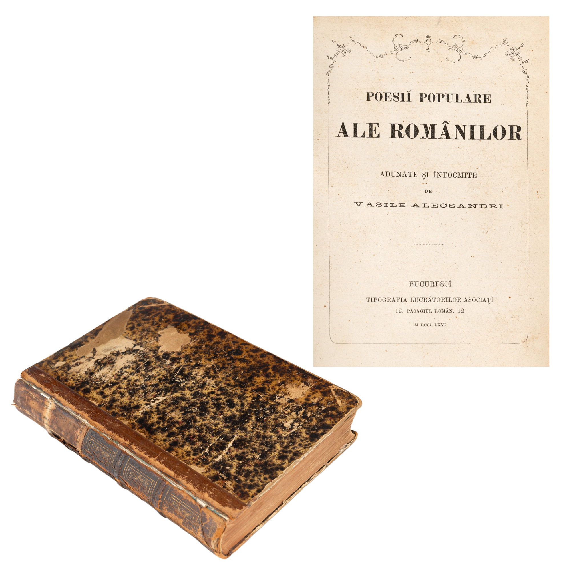
34. "Popular Poems of Romanians," by Vasile Alecsandri, Bucharest, 1866, first edition