
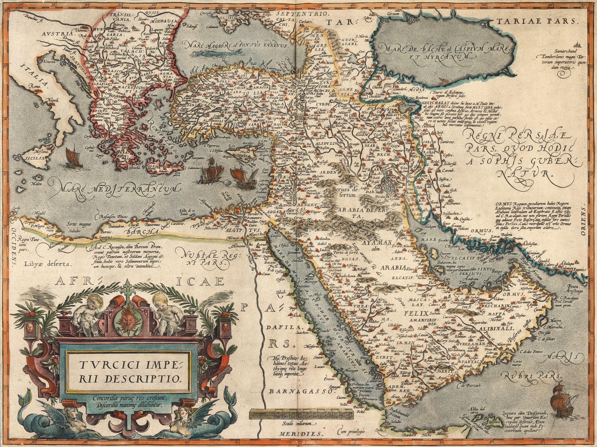
273. "Ottoman Empire Map", by Abraham Ortelius, Antwerp, end of 17th century-beginning of 18th century
The photos of the lot are informative and indicative, and cannot provide a highly detailed view of the object from all angles. We recommend a careful physical inspection of the lot before bidding.
273. "Ottoman Empire Map", by Abraham Ortelius, Antwerp, end of 17th century-beginning of 18th century
Starting price:
EUR 300
Sold
EUR 300
copper engraving, ribbed paper, hand colored, 51 x 30.5 cm
Abraham Ortelius (1527-1598) was a cartographer, cosmographer, geographer and Flemish editor, contemporary with the geographer Gerard Mercator, whom he knew, traveled with through Europe, collaborated with and borrowed the term "Atlas" from. Theatrum Orbis Terrarum was the first set of maps printed in the form of an atlas. Three Latin editions, one Dutch edition, several French and German editions of Theatrum Orbis Terrarum were published by 1572, and another 25 editions were printed before Ortelius' death in 1598, showing the enormous success of the work. The exhibit is part of an edition printed at the end of the 17th-beginning of the 18th century. Hand-colored copper engraving after printing.
For clarifications regarding the bidding procedure, hammer price costs, guarantee, payment, and collection terms for the winning lot, we recommend carefully reading/re-reading the Bidding Regulations.
For additional information regarding the lot and the auction, please contact the Art Consultants Department.
SESSION
Brought to you by