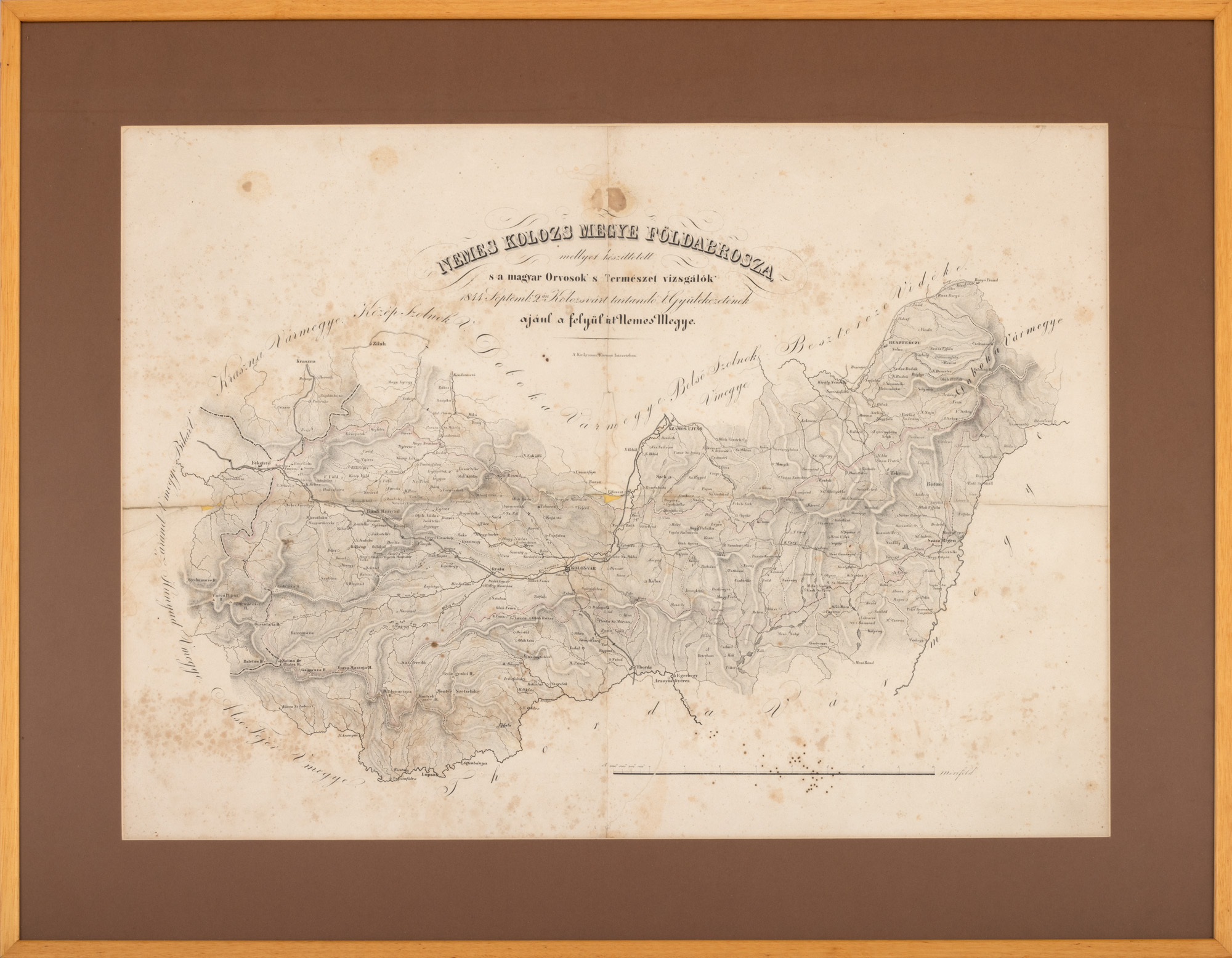
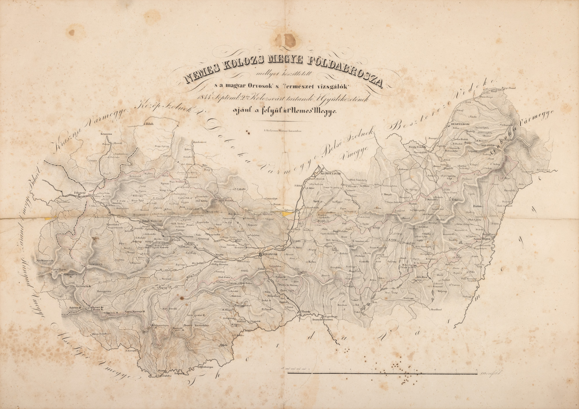
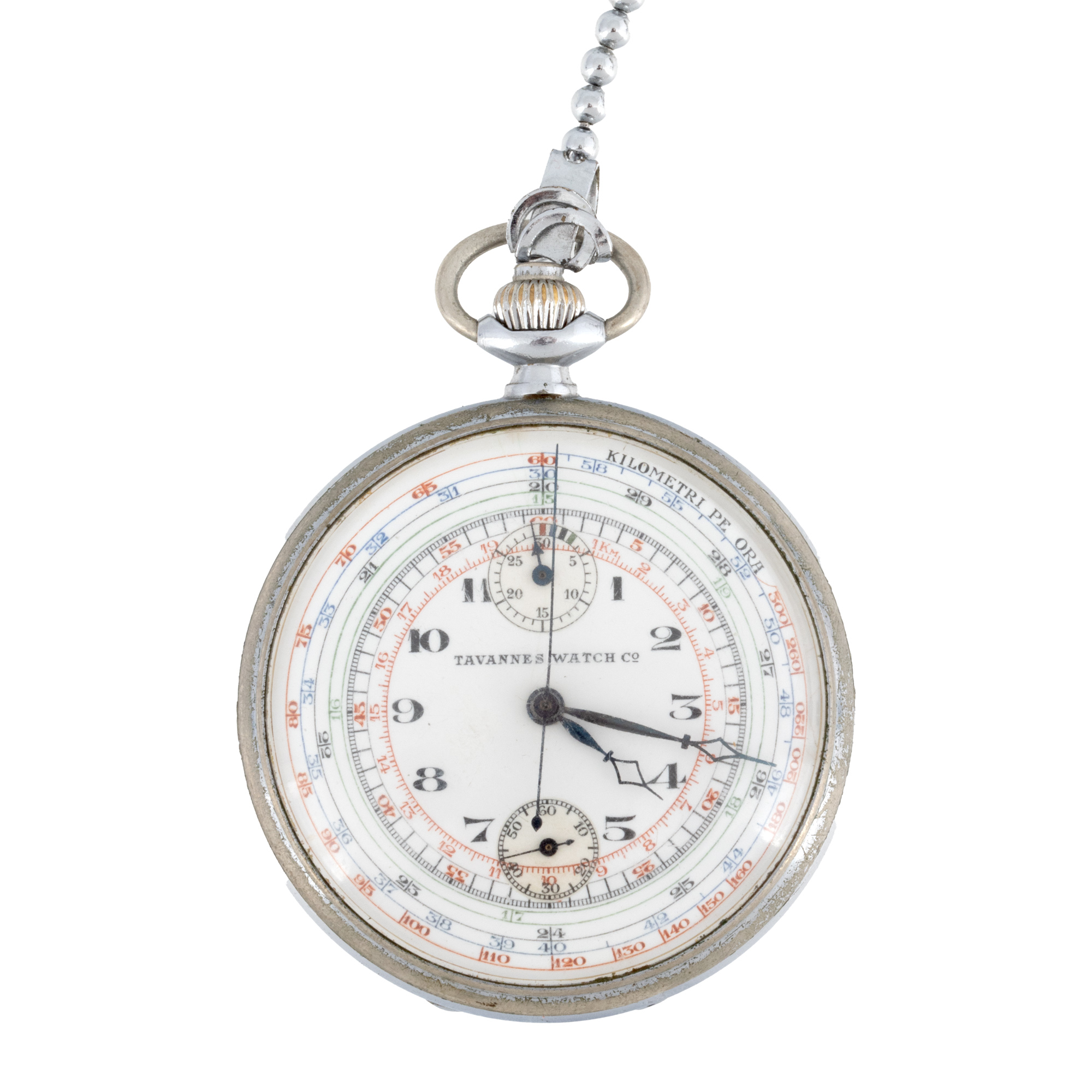
242. Map of the Cluj region, by Gábor Hevenesi, 1844, collection piece
Selling price
EUR 1.800
Session
Tue, 24 June 2025 18:00
Dimensions
width 64 cm, height 45 cm
Description
lithograph on paper
Research information
The map, courtesy of the collector, was part of the permanent exhibition at the National Museum of Old Maps and Books.
ADDITIONAL INFORMATION
For clarifications regarding the bidding procedure, hammer price costs, guarantee, payment, and collection terms for the winning lot, we recommend carefully reading/re-reading the Bidding Regulations.
For additional information regarding the lot and the auction, please contact the Art Consultants Department.
Detalii
ADDITIONAL INFORMATION
For clarifications regarding the bidding procedure, hammer price costs, guarantee, payment, and collection terms for the winning lot, we recommend carefully reading/re-reading the Bidding Regulations.
For additional information regarding the lot and the auction, please contact the Art Consultants Department.
Dimensions
width 64 cm, height 45 cm
Description
lithograph on paper
Research information
The map, courtesy of the collector, was part of the permanent exhibition at the National Museum of Old Maps and Books.
Similar lots
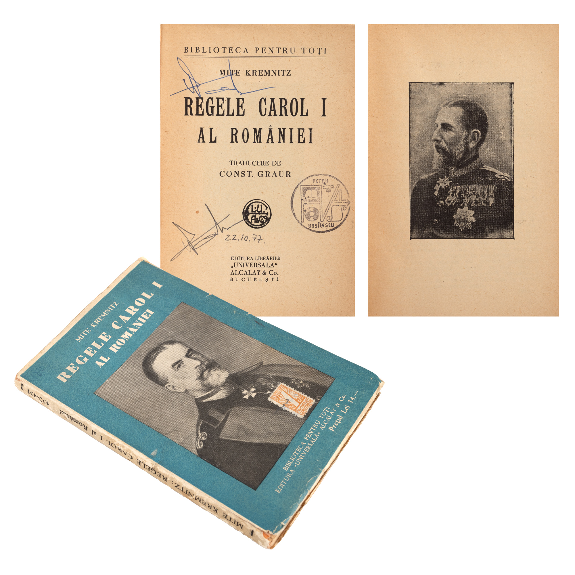
228. "King Carol I of Romania", by Mite Kremnitz, Bucharest, 1909, first edition in Romanian, with ownership ex-libris