
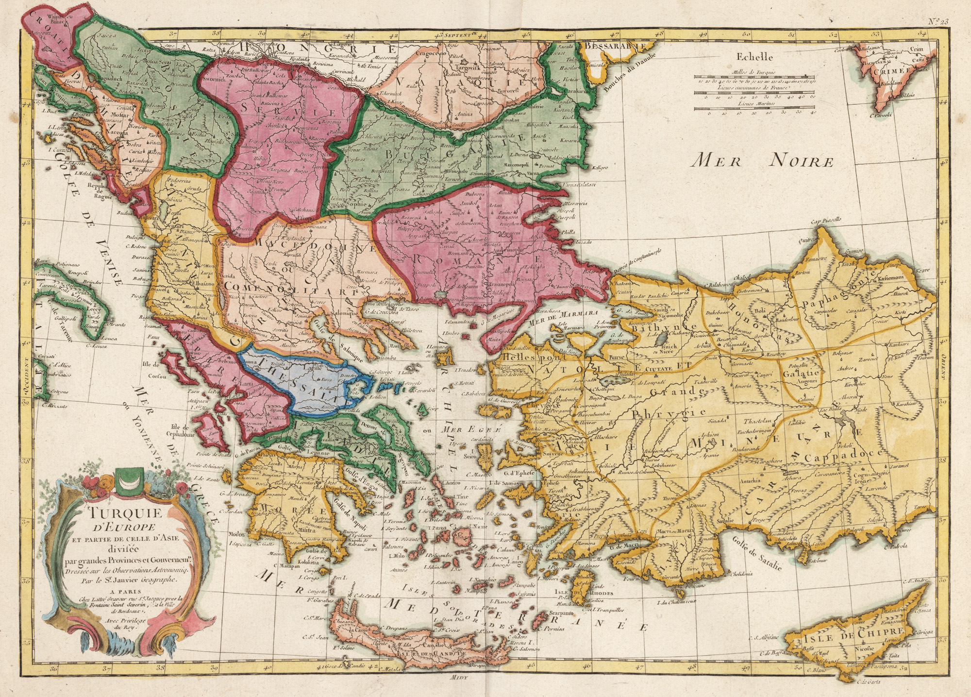
284. "Map 'European Turkey and a part of Asian Turkey', drawn by Jean Janvier, published by Jean Lattré, Paris, 1775"
The photos of the lot are informative and indicative, and cannot provide a highly detailed view of the object from all angles. We recommend a careful physical inspection of the lot before bidding.
284. "Map 'European Turkey and a part of Asian Turkey', drawn by Jean Janvier, published by Jean Lattré, Paris, 1775"
Starting price:
EUR 200
Sold
EUR 200
copper engraving, striped paper, hand colored, 36 x 49 cm
The map shows the Balkan Peninsula, as well as most of Anatolia, the Mediterranean islands of Cyprus and Crete. It was made by the French cartographer Jean Janvier, active in Paris between 1746 and 1776. The map provides an overview of the European territories held at the time by the Ottoman Empire. In the top right corner, three distance scales are mentioned: Turkish miles, French leagues and nautical leagues. Hand colored copper engraving after printing.
For clarifications regarding the bidding procedure, hammer price costs, guarantee, payment, and collection terms for the winning lot, we recommend carefully reading/re-reading the Bidding Regulations.
For additional information regarding the lot and the auction, please contact the Art Consultants Department.
SESSION
Brought to you by
Similar lots