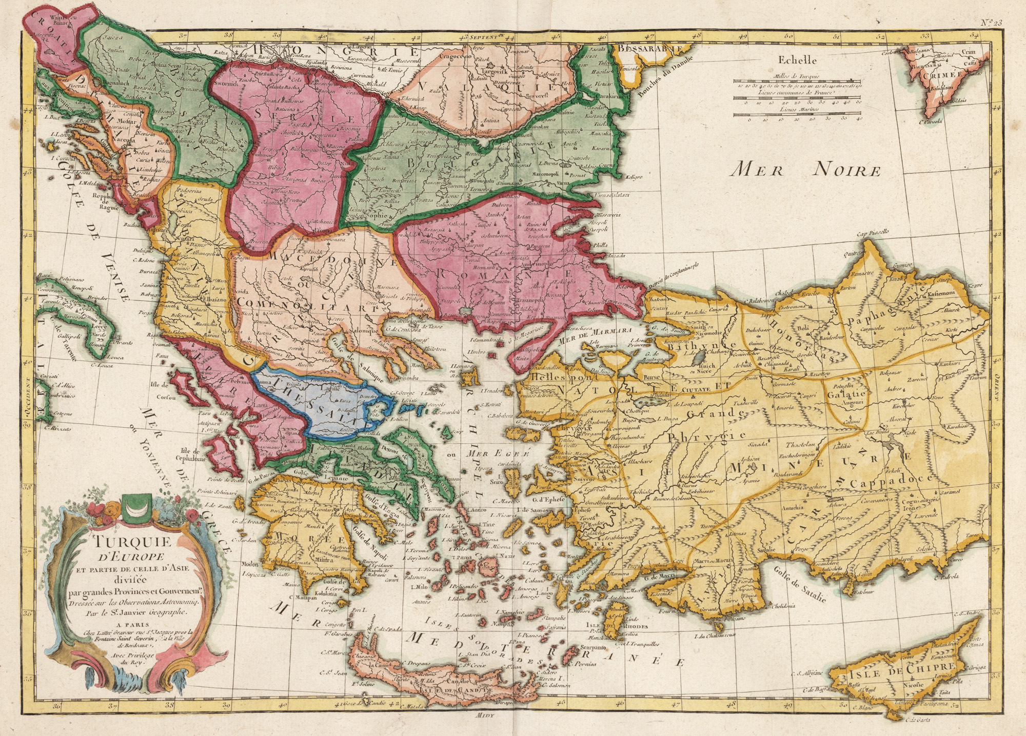
284. "Map 'European Turkey and a part of Asian Turkey', drawn by Jean Janvier, published by Jean Lattré, Paris, 1775"
Početna cijena
EUR 200
Prodano
EUR 200
Sesija
Uto., 7 listopada 2025 12:00
Dimenzije
width 49 cm, height 36 cm
Opis
copper engraving, striped paper, hand colored
DODATNE INFORMACIJE
Za pojašnjenja u vezi s postupkom licitiranja, troškovima kupnje, uvjetima jamstva, plaćanja i preuzimanja osvojenog lota preporučujemo da pažljivo pročitate/ponovno pročitate Pravilnik o licitiranju.
Za dodatne informacije o lotu i aukciji kontaktirajte Odjel umjetničkih savjetnika.
Detalii
DODATNE INFORMACIJE
Za pojašnjenja u vezi s postupkom licitiranja, troškovima kupnje, uvjetima jamstva, plaćanja i preuzimanja osvojenog lota preporučujemo da pažljivo pročitate/ponovno pročitate Pravilnik o licitiranju.
Za dodatne informacije o lotu i aukciji kontaktirajte Odjel umjetničkih savjetnika.
Dimenzije
width 49 cm, height 36 cm
Opis
copper engraving, striped paper, hand colored
Alternativni lotovi
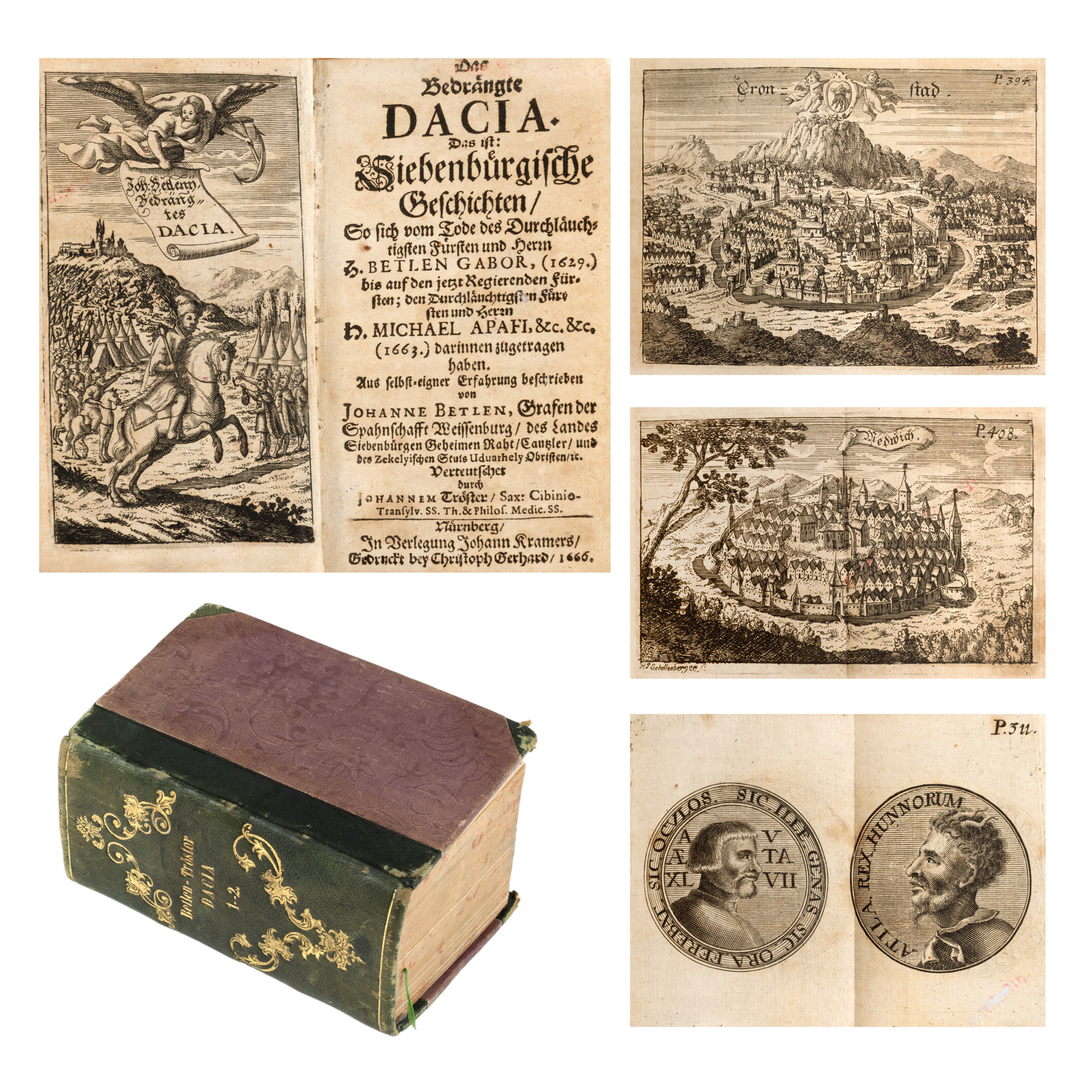

234. Original netting drawn by Burschi Gruder for the cover of the magazine "Luminița" no. 9/1979
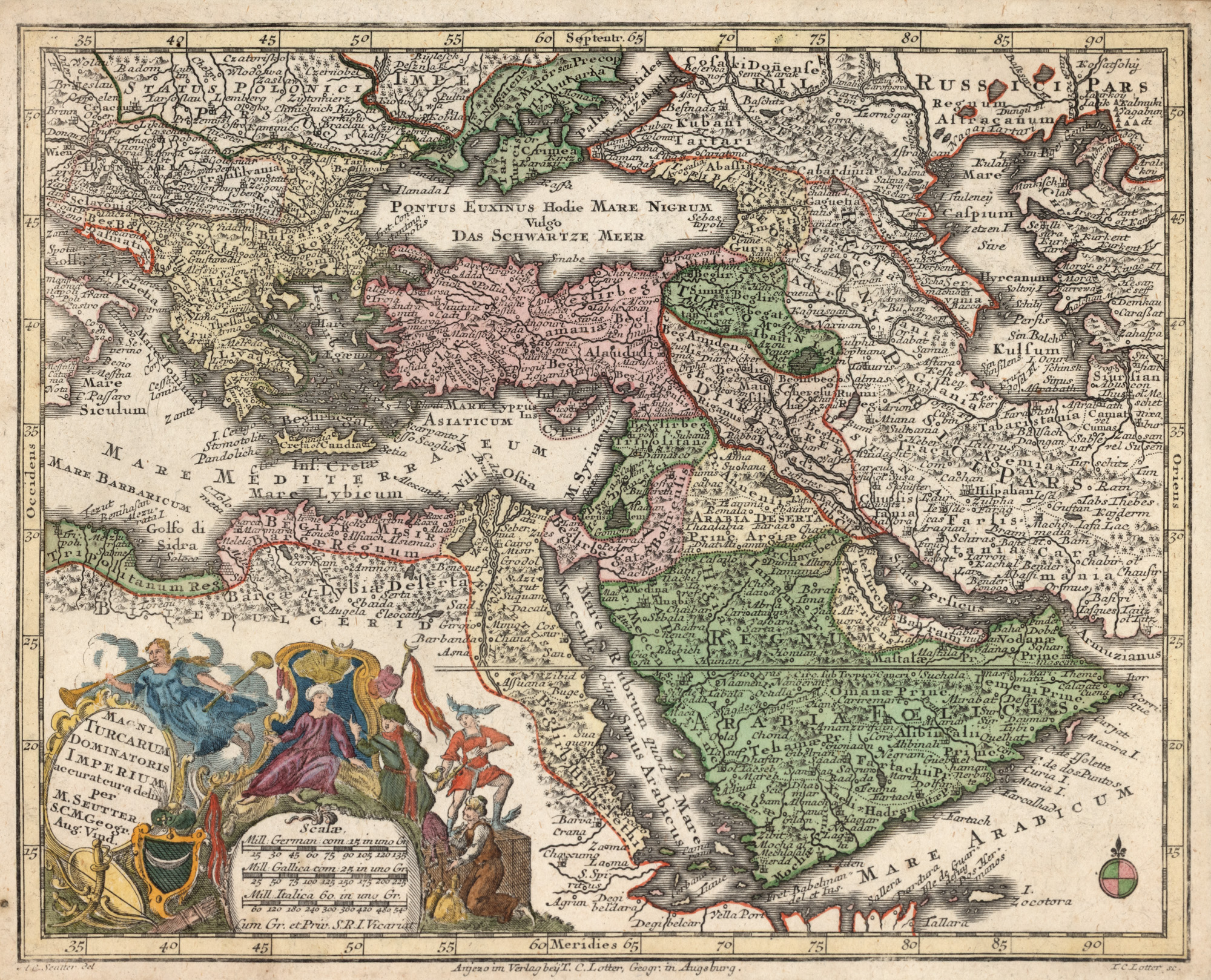
271. "Ottoman Empire Map" by Matthäus Seutter, Augsburg, circa 1750