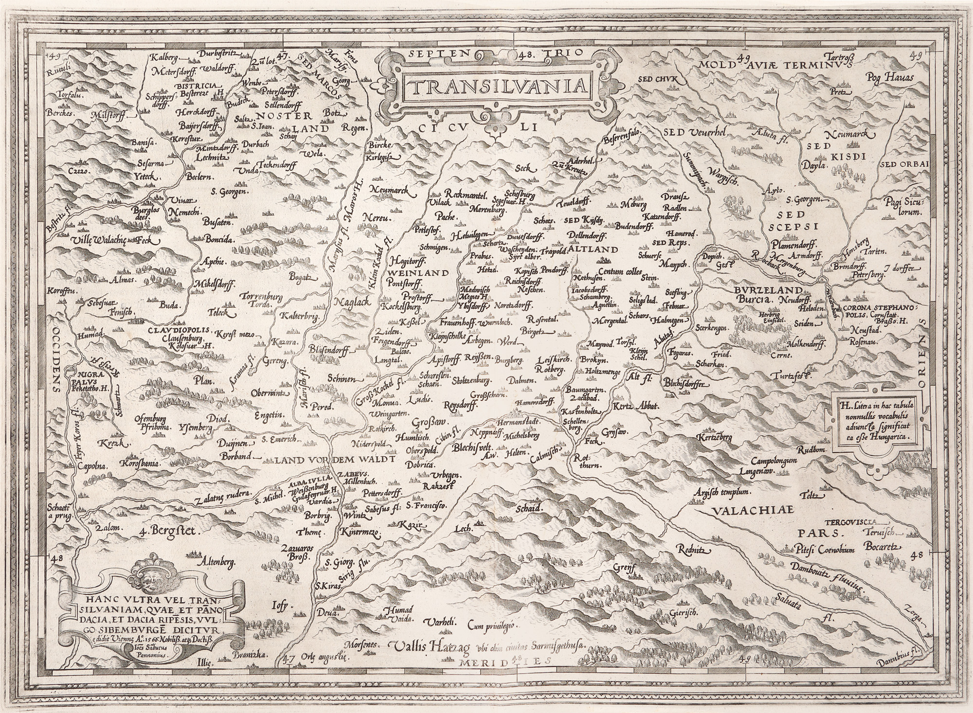
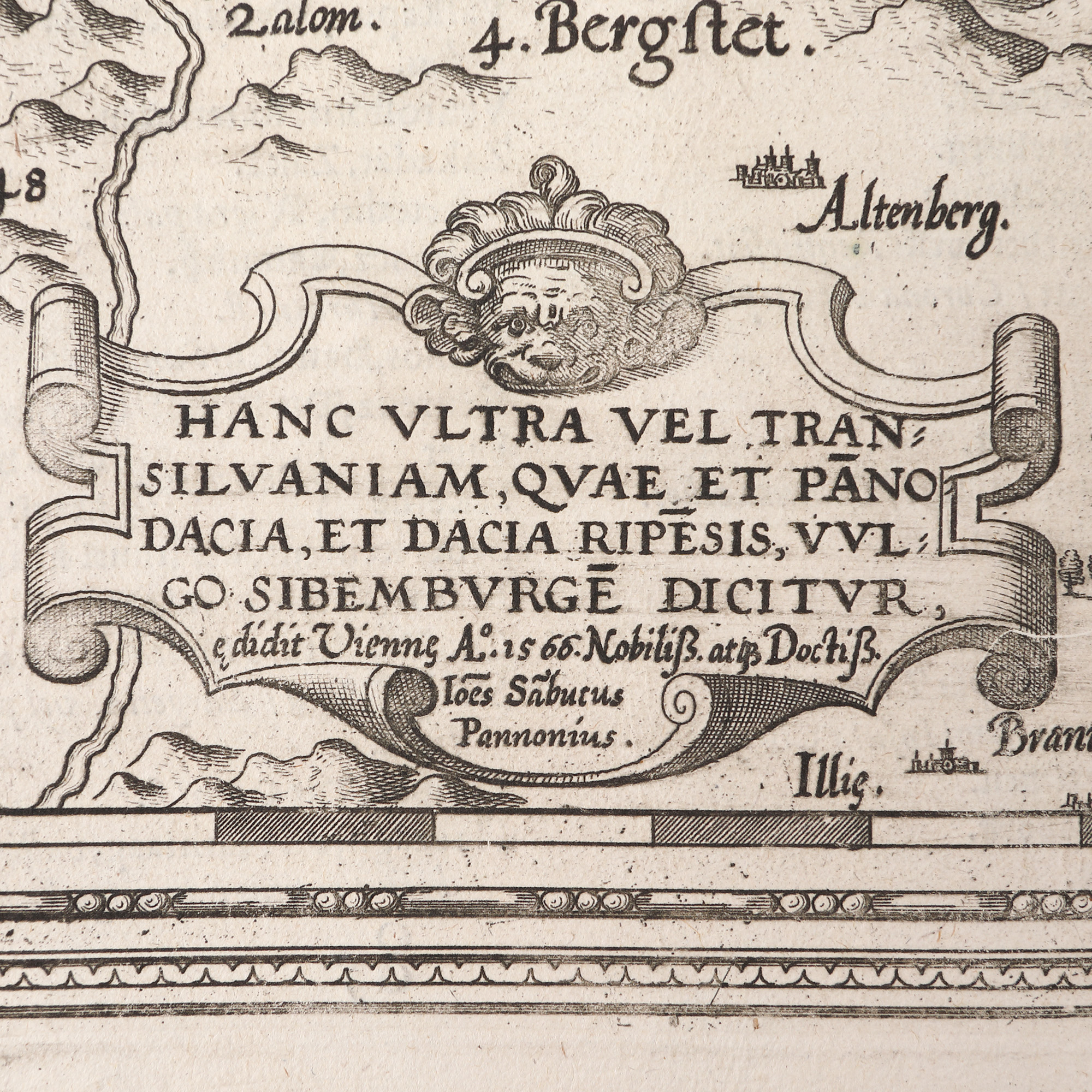
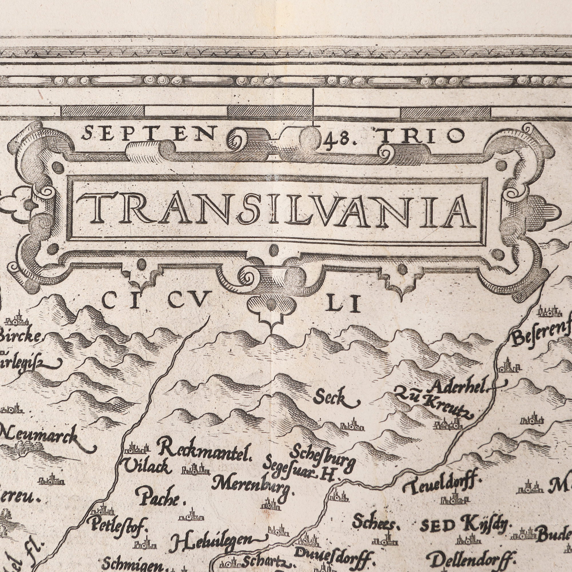
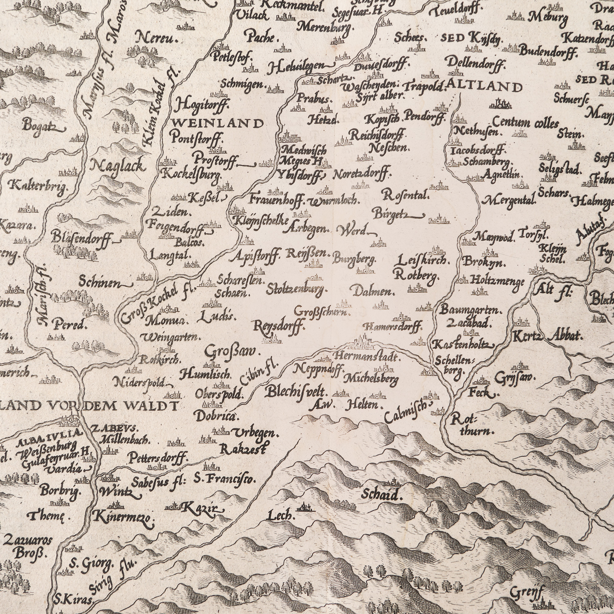
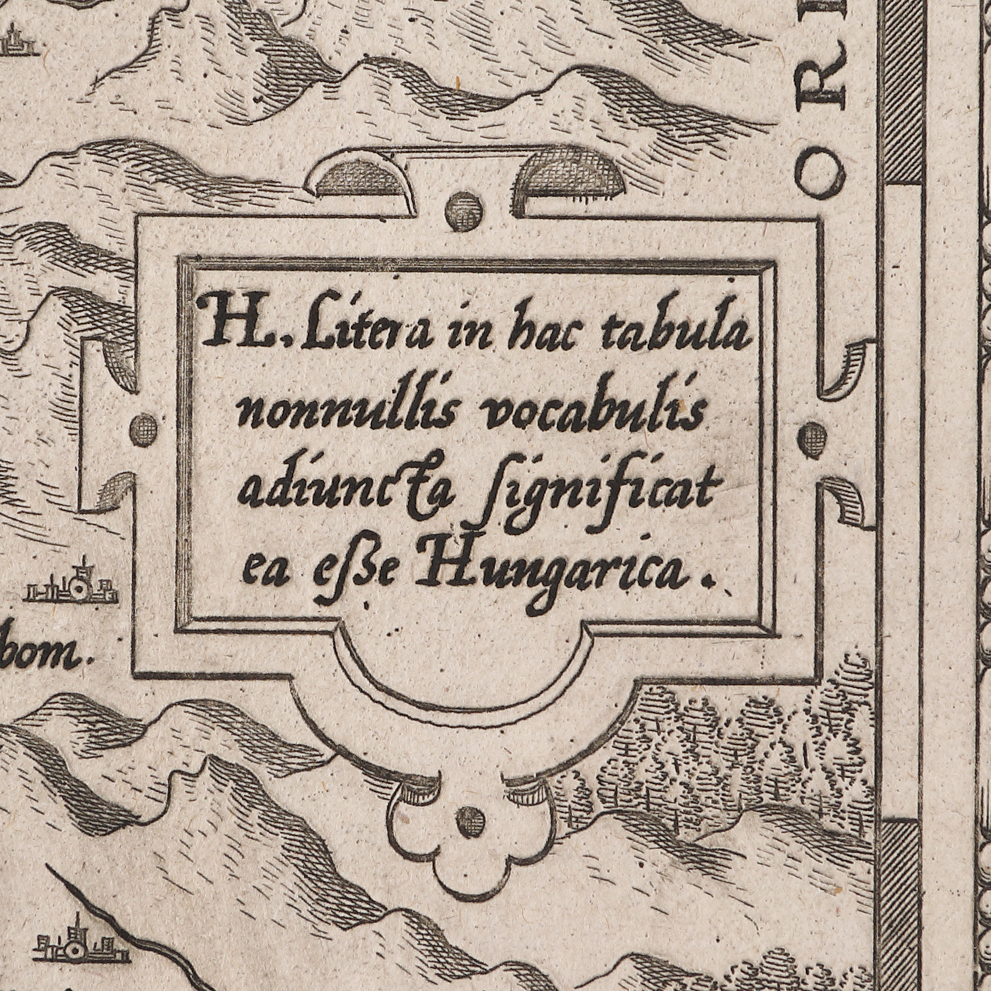
109. "Transilvania" ("Transylvania") map by Johannes Sambucus, printed by Abraham Ortelius, Antwerp, 1598
Starting price
EUR 250
Sold
EUR 300
Session
Thu, 23 March 2023 19:00
Dimensions
width 57 cm, height 44 cm, custom 44 Ã 57 cm
ADDITIONAL INFORMATION
For clarifications regarding the bidding procedure, hammer price costs, guarantee, payment, and collection terms for the winning lot, we recommend carefully reading/re-reading the Bidding Regulations.
For additional information regarding the lot and the auction, please contact the Art Consultants Department.
Detalii
ADDITIONAL INFORMATION
For clarifications regarding the bidding procedure, hammer price costs, guarantee, payment, and collection terms for the winning lot, we recommend carefully reading/re-reading the Bidding Regulations.
For additional information regarding the lot and the auction, please contact the Art Consultants Department.
Dimensions
width 57 cm, height 44 cm, custom 44 Ã 57 cm
Similar lots
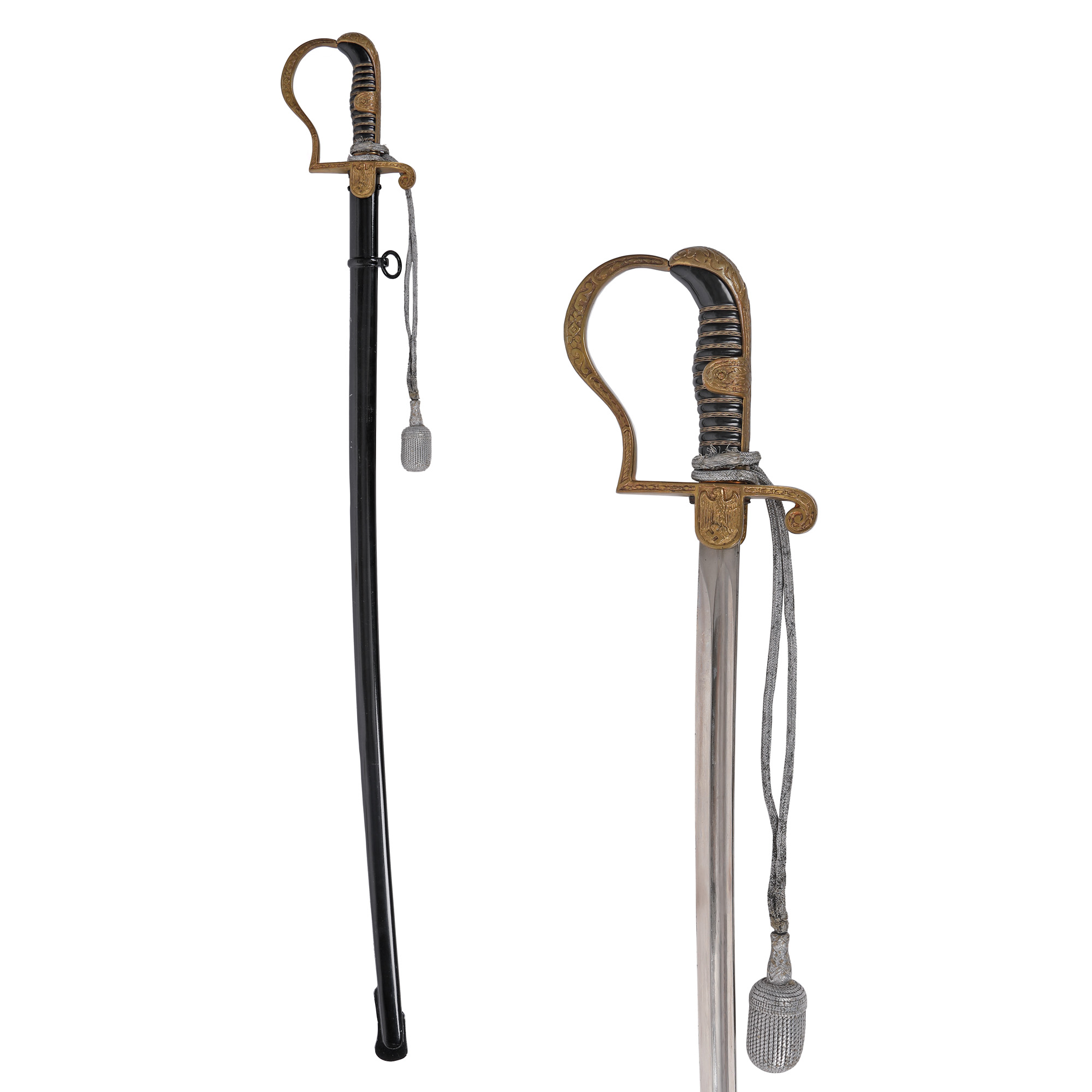
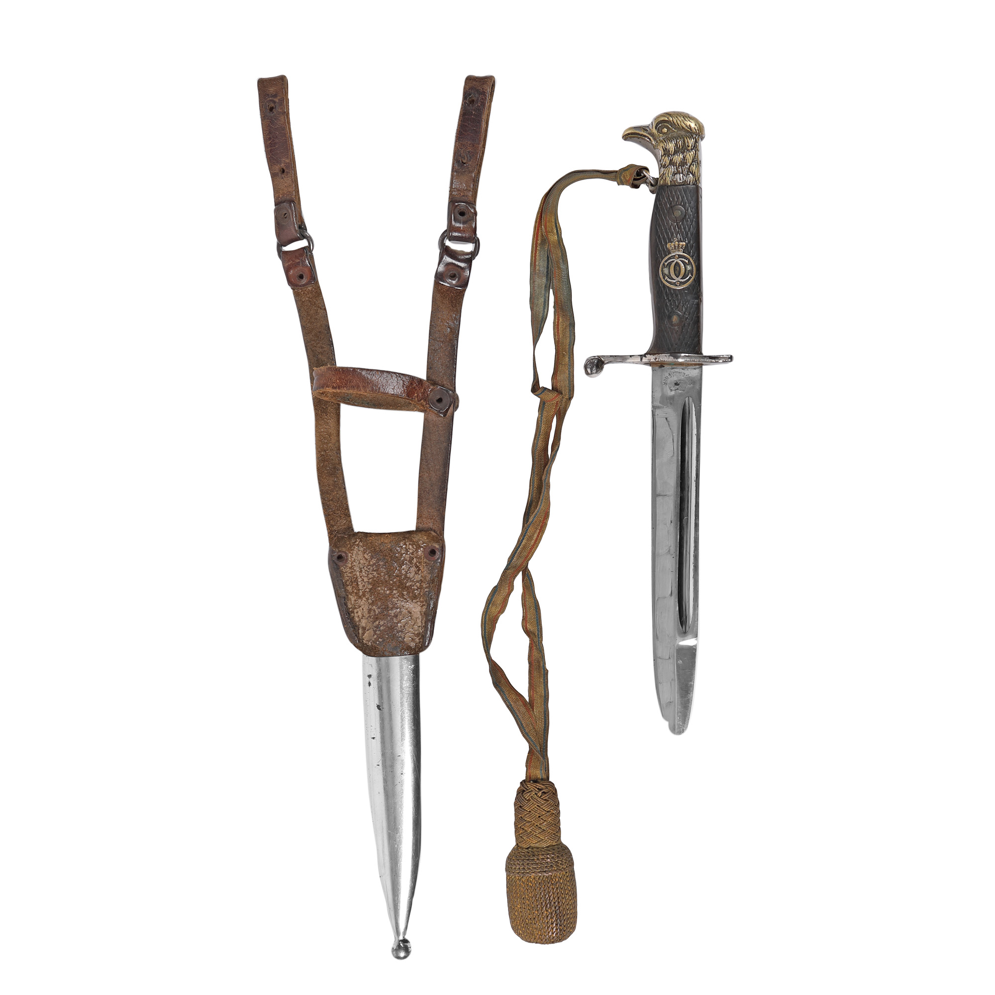
21. Officer's Sword, with Scabbard, Nazi Germany, approx. 1935-1945