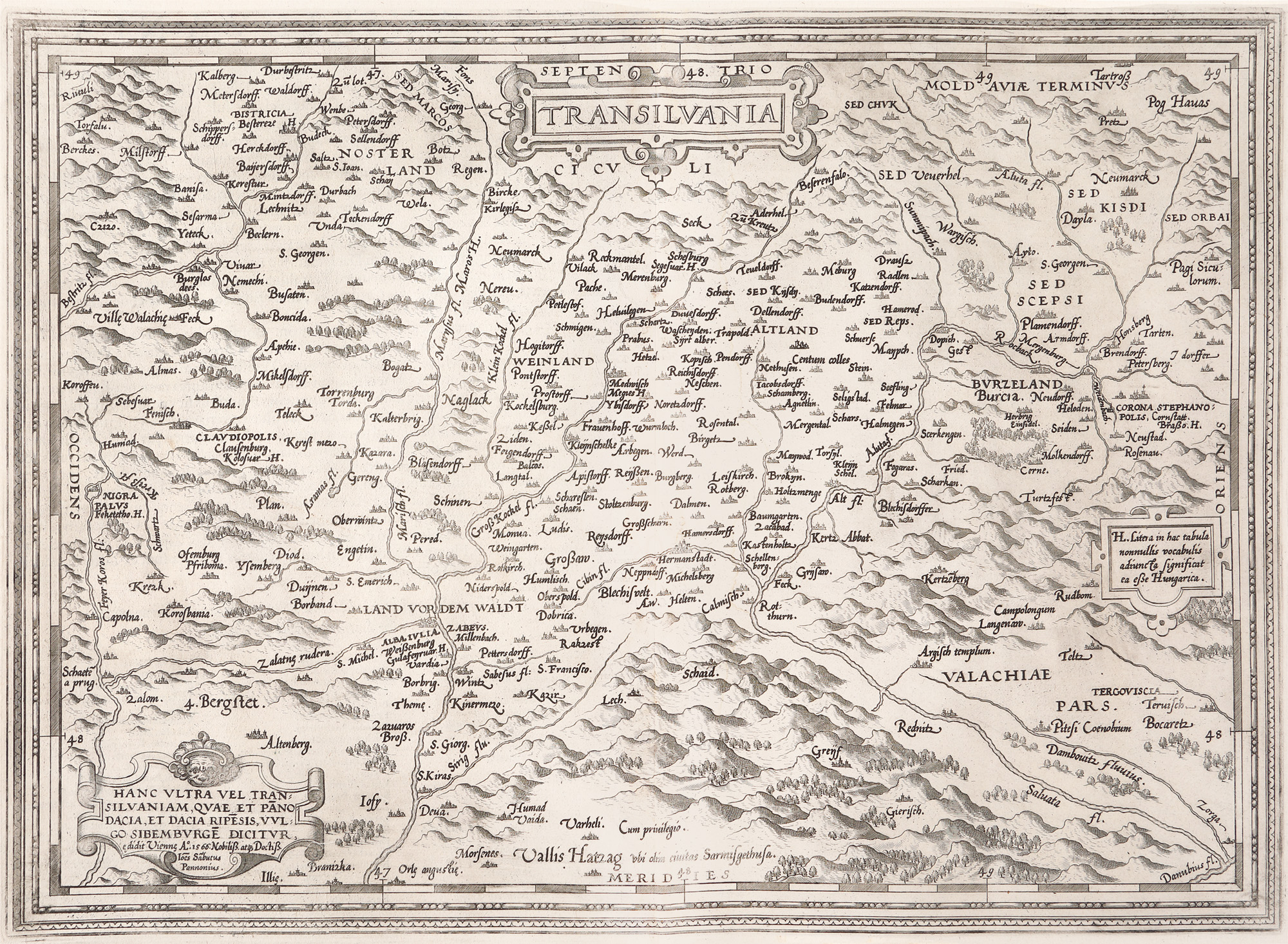
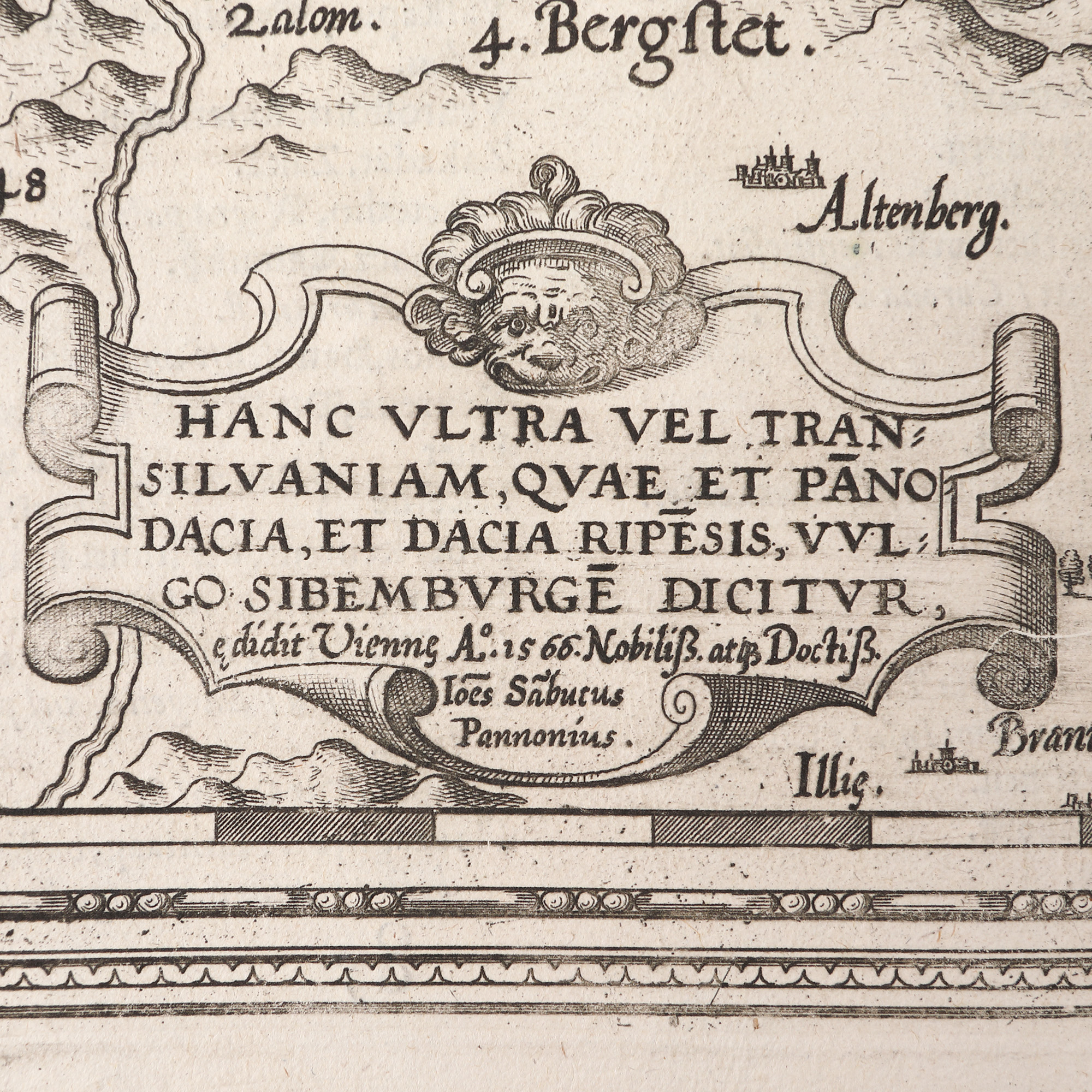
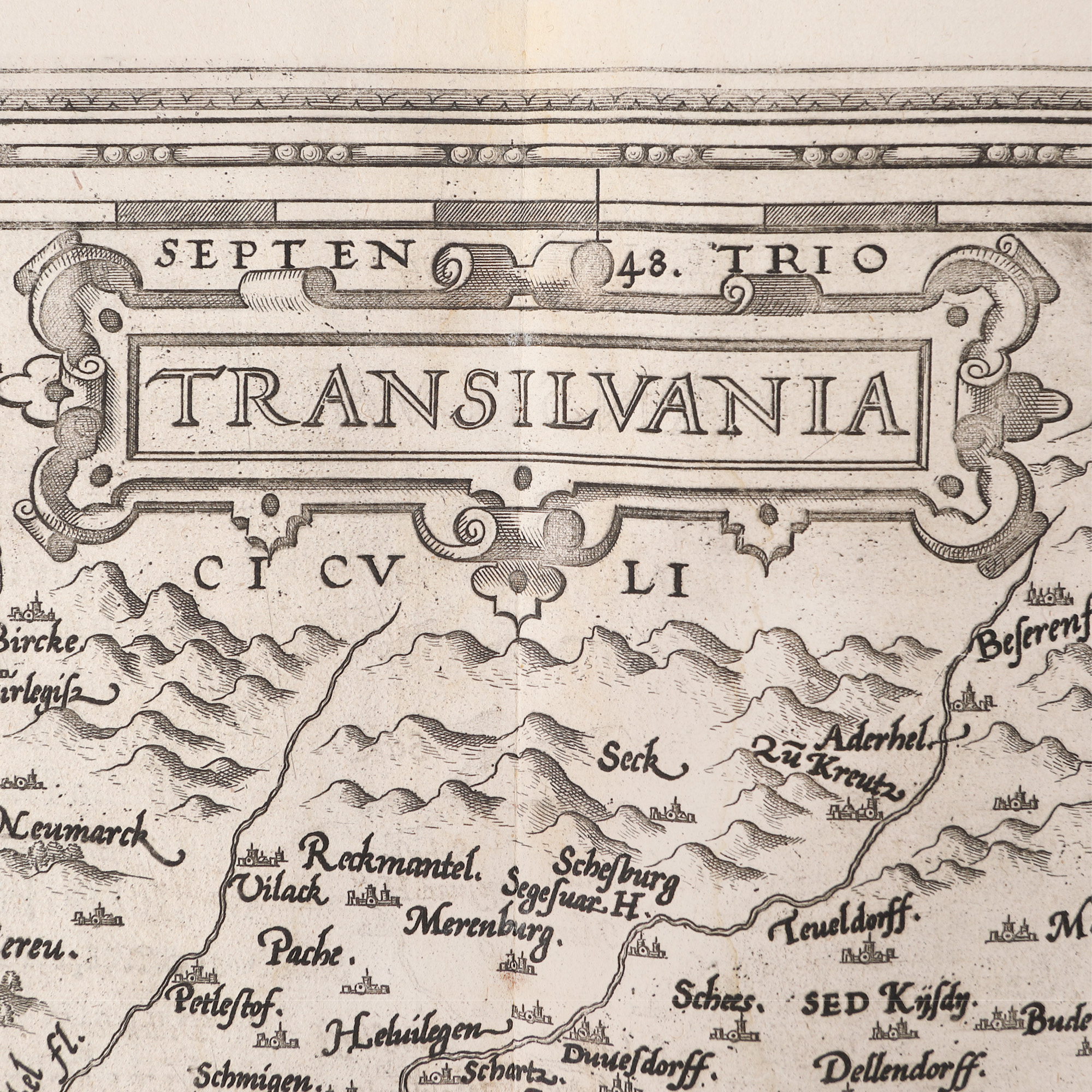
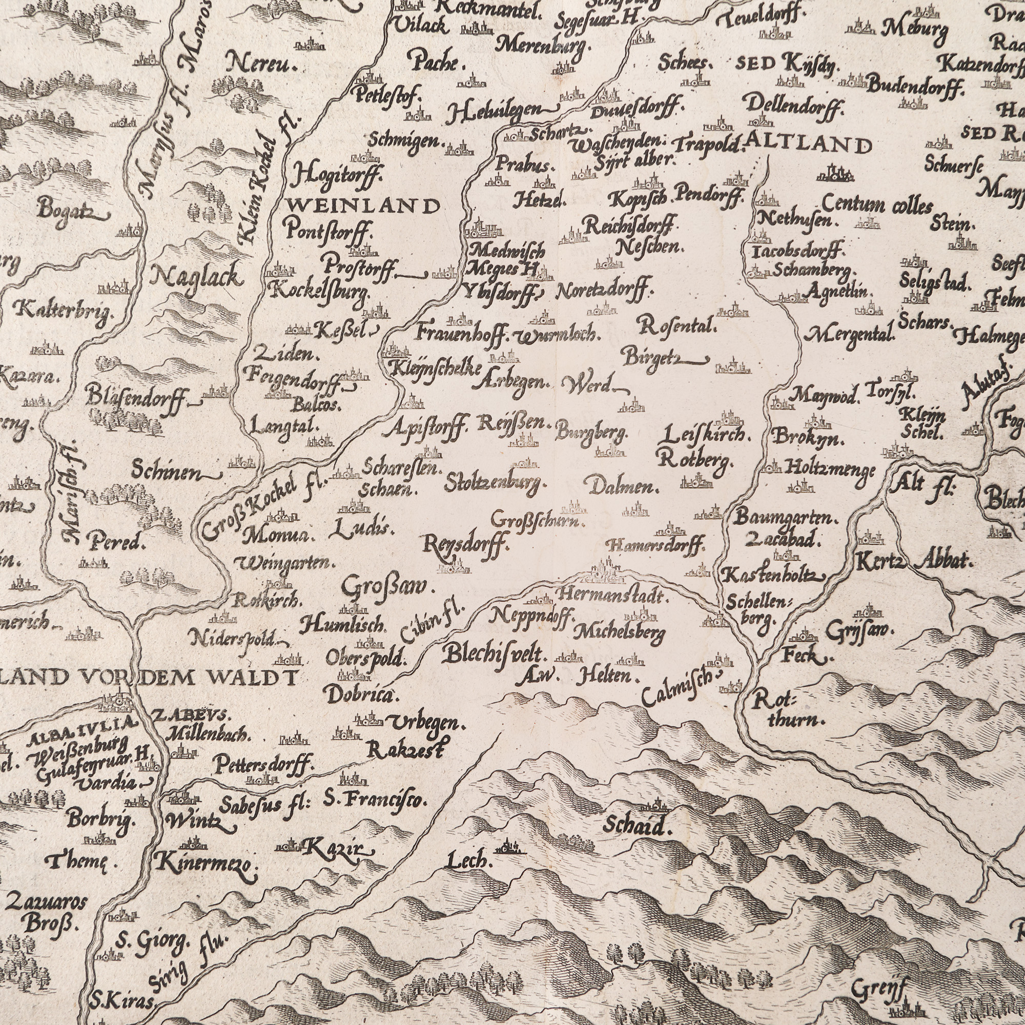
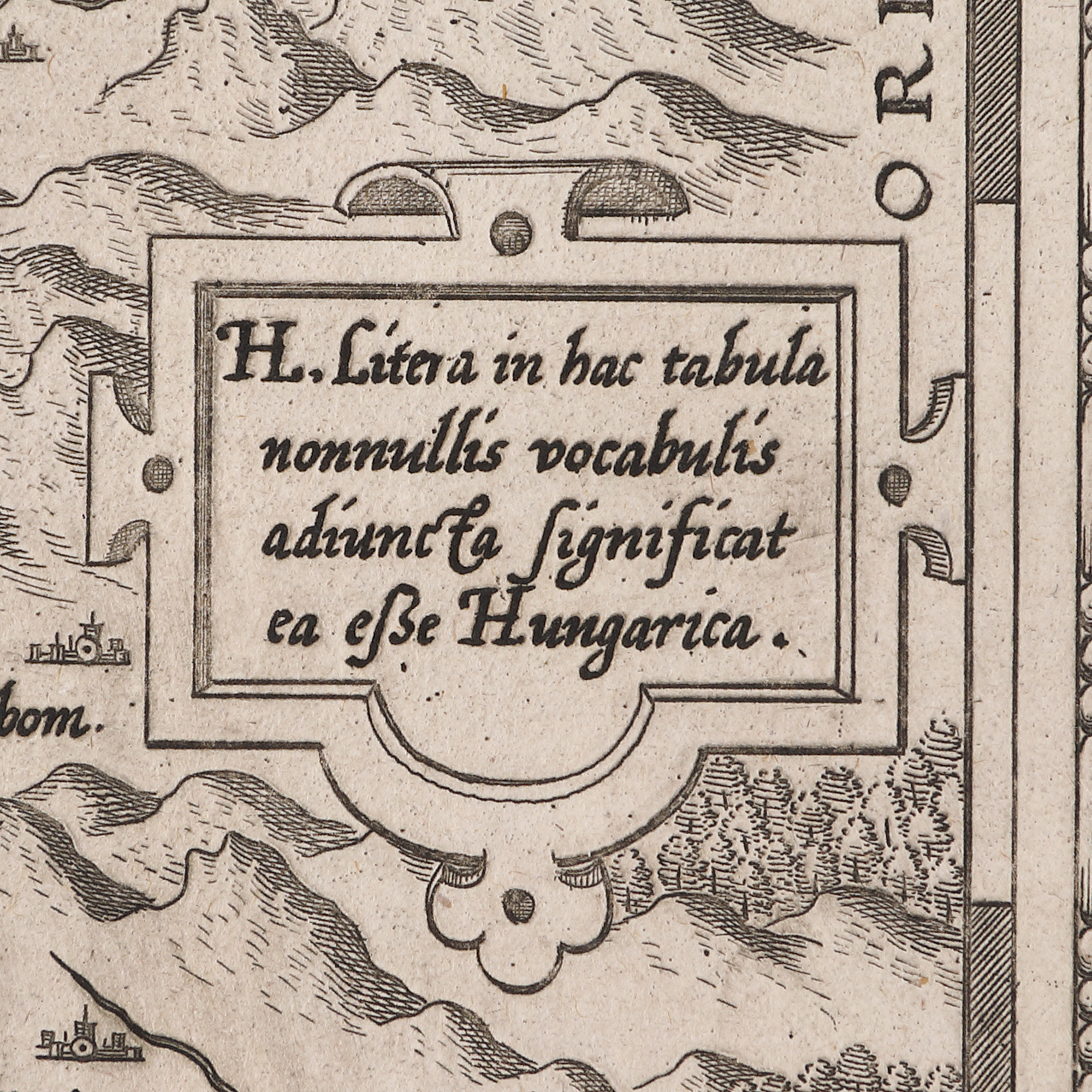
109. "Transilvania" ("Transylvania") map by Johannes Sambucus, printed by Abraham Ortelius, Antwerp, 1598
Početna cijena
EUR 250
Prodano
EUR 300
Sesija
Čet., 23 ožujka 2023 19:00
Dimenzije
width 57 cm, height 44 cm
DODATNE INFORMACIJE
Za pojašnjenja u vezi s postupkom licitiranja, troškovima kupnje, uvjetima jamstva, plaćanja i preuzimanja osvojenog lota preporučujemo da pažljivo pročitate/ponovno pročitate Pravilnik o licitiranju.
Za dodatne informacije o lotu i aukciji kontaktirajte Odjel umjetničkih savjetnika.
Detalii
DODATNE INFORMACIJE
Za pojašnjenja u vezi s postupkom licitiranja, troškovima kupnje, uvjetima jamstva, plaćanja i preuzimanja osvojenog lota preporučujemo da pažljivo pročitate/ponovno pročitate Pravilnik o licitiranju.
Za dodatne informacije o lotu i aukciji kontaktirajte Odjel umjetničkih savjetnika.
Dimenzije
width 57 cm, height 44 cm
Alternativni lotovi
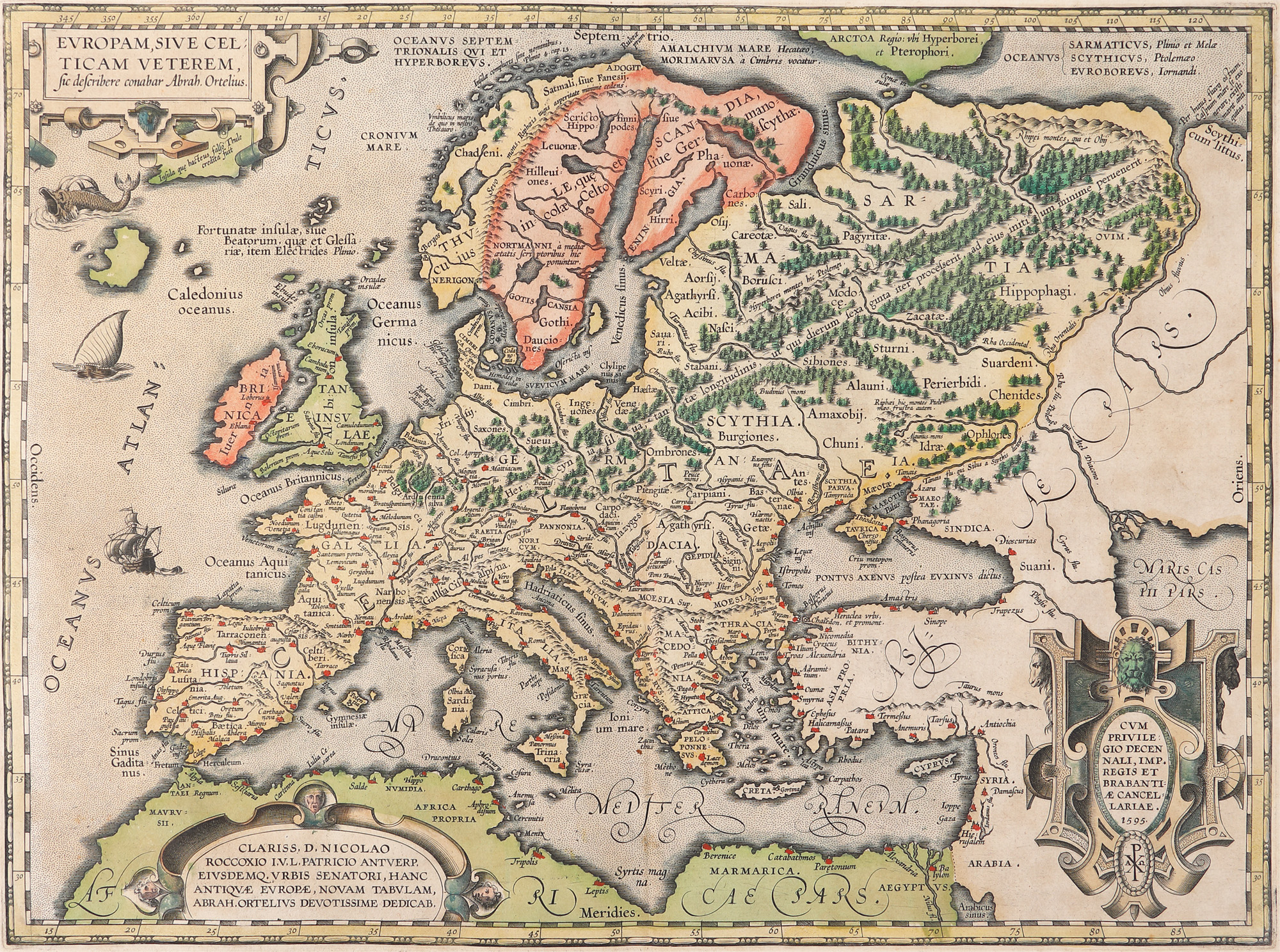
137. "Europa" ("Europe") map by Abraham Ortelius, Orbis Terrarum edition, Antwerp, 1595, rare collection item
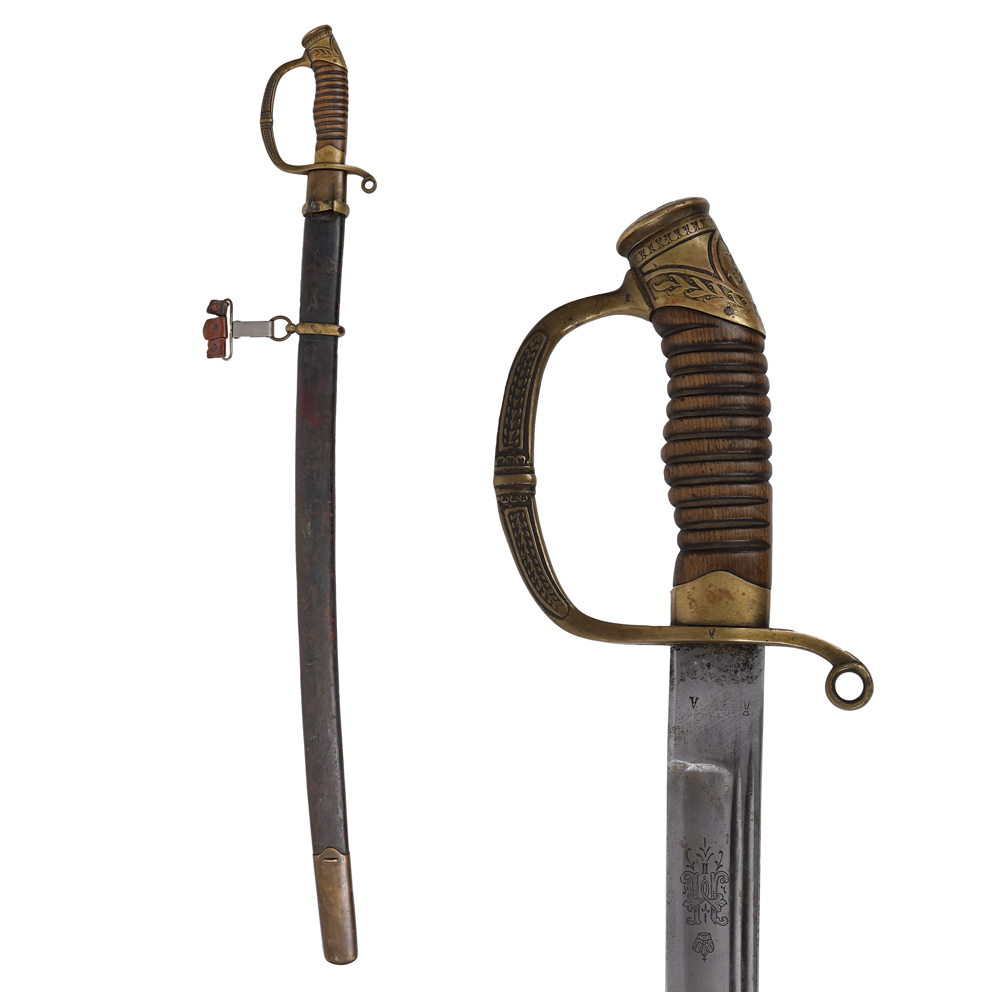
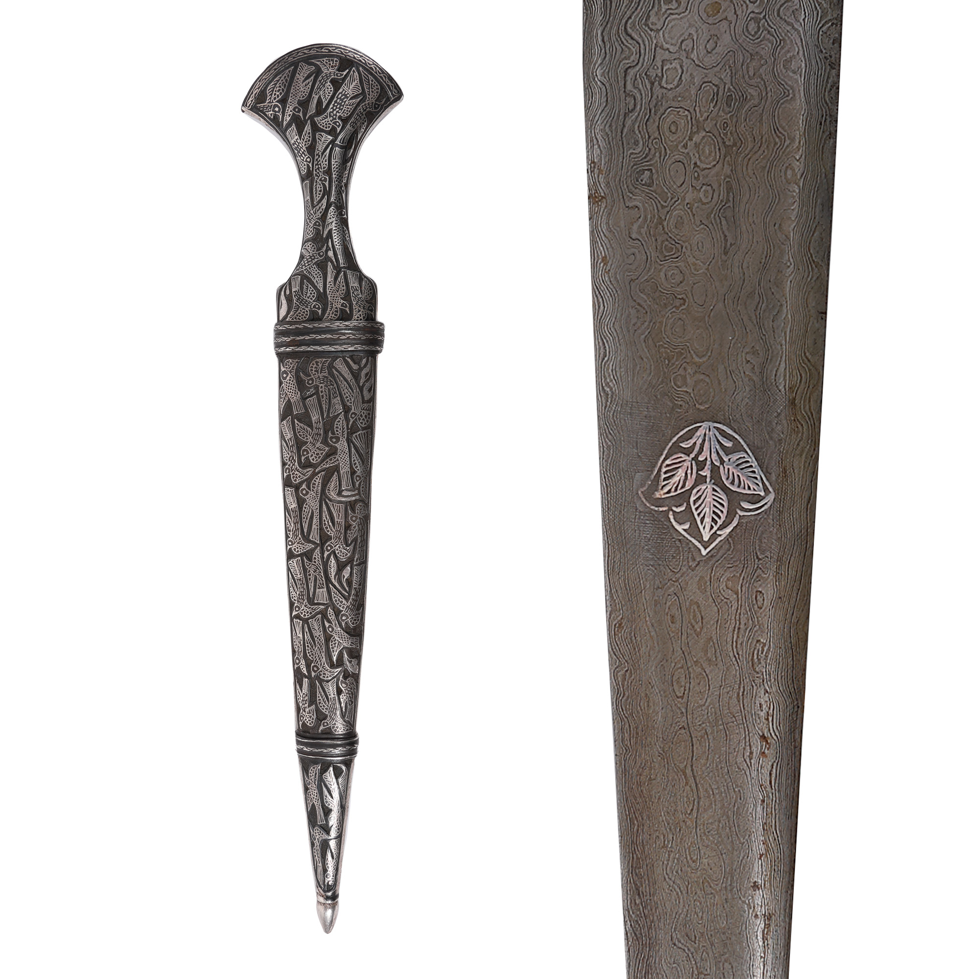
9. Sword, Russian Dragoon officer, with sheath, containing the cypher of Tzar Nicholas II, end of the 19th Century, beginning of the 20th Century