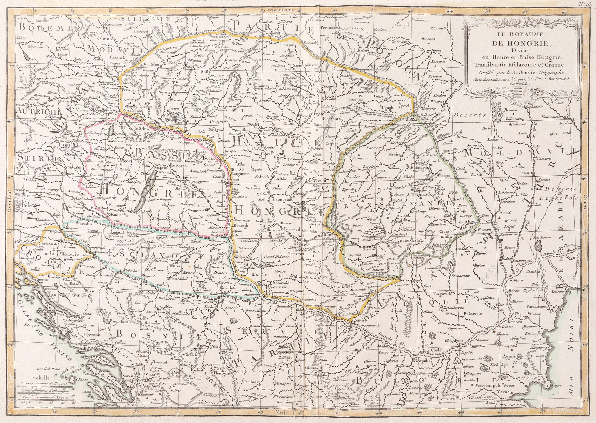
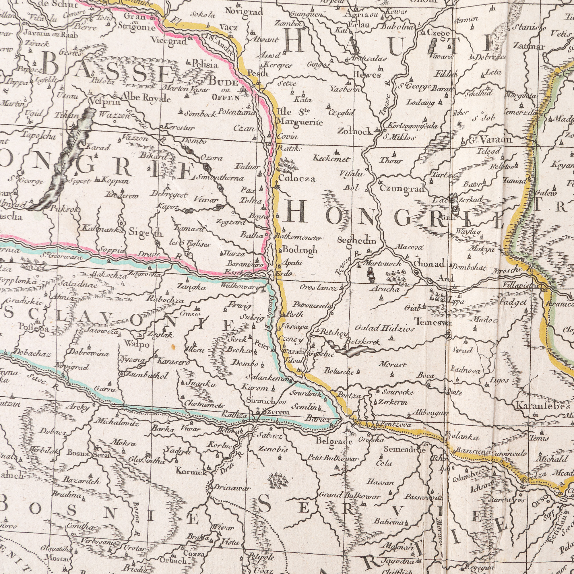
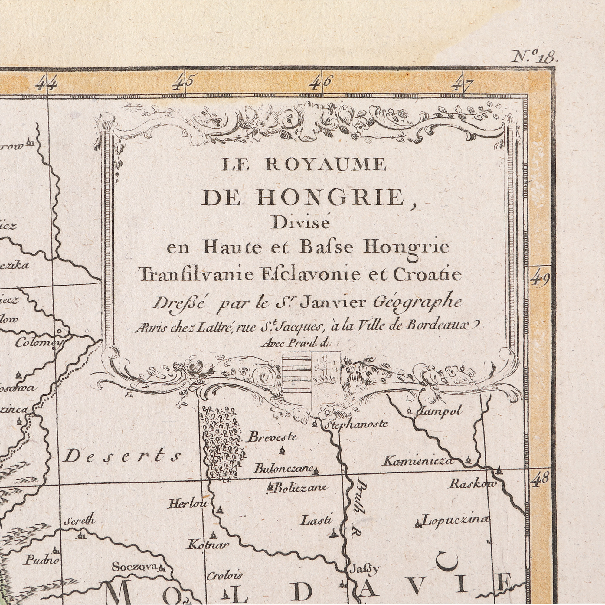
320. "Kingdom of Hungary divided into Upper and Lower Hungary map, Transylvania, Esclavonia and Croatia" by Jean Janvier, 1770
Selling price
EUR 300
Session
Fri, 31 March 2023 12:00
Dimensions
width 51 cm, height 36 cm
Description
copper engraving, hand-coloured laid paper
ADDITIONAL INFORMATION
For clarifications regarding the bidding procedure, hammer price costs, guarantee, payment, and collection terms for the winning lot, we recommend carefully reading/re-reading the Bidding Regulations.
For additional information regarding the lot and the auction, please contact the Art Consultants Department.
Detalii
ADDITIONAL INFORMATION
For clarifications regarding the bidding procedure, hammer price costs, guarantee, payment, and collection terms for the winning lot, we recommend carefully reading/re-reading the Bidding Regulations.
For additional information regarding the lot and the auction, please contact the Art Consultants Department.
Dimensions
width 51 cm, height 36 cm
Description
copper engraving, hand-coloured laid paper
Similar lots
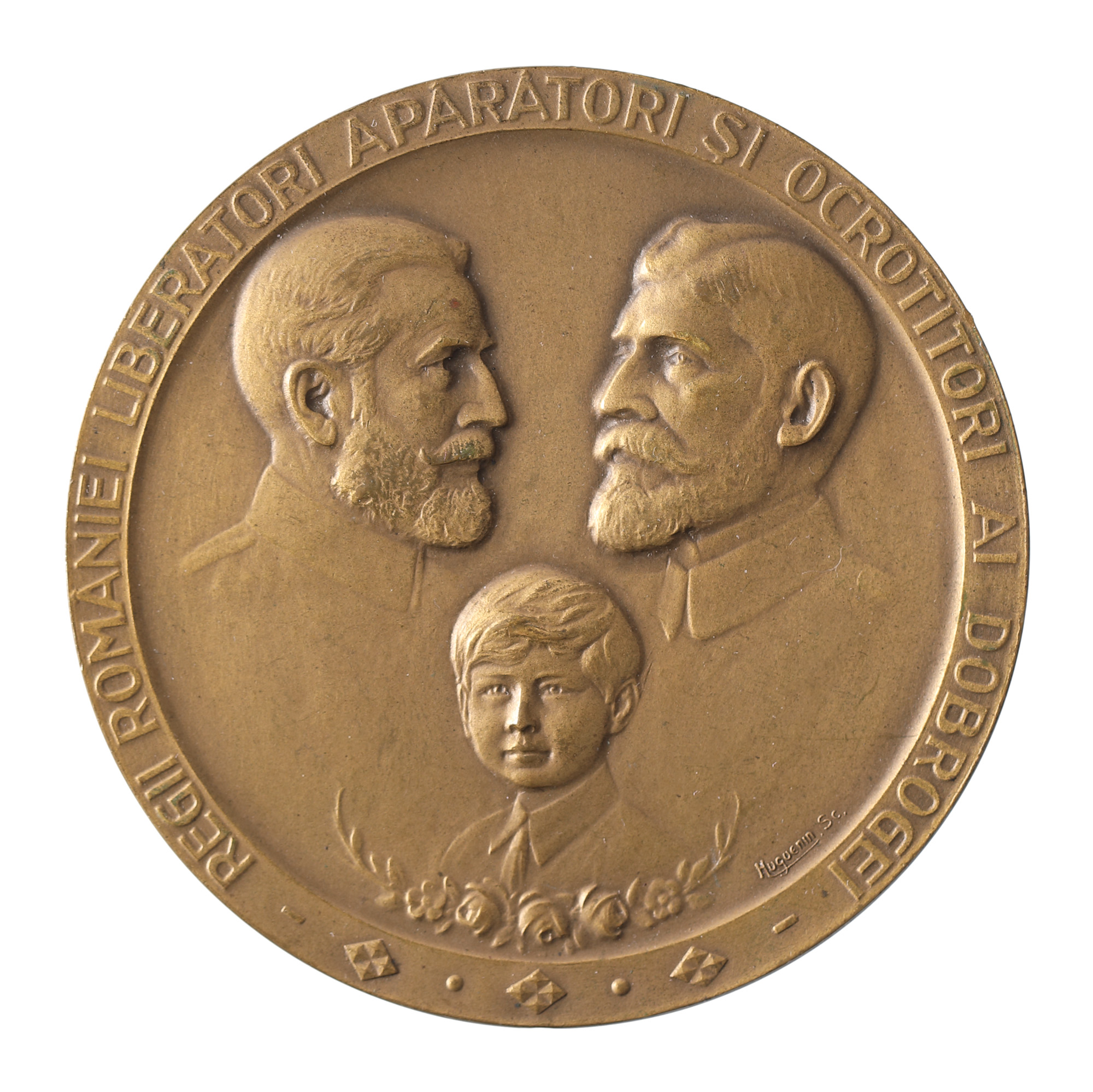
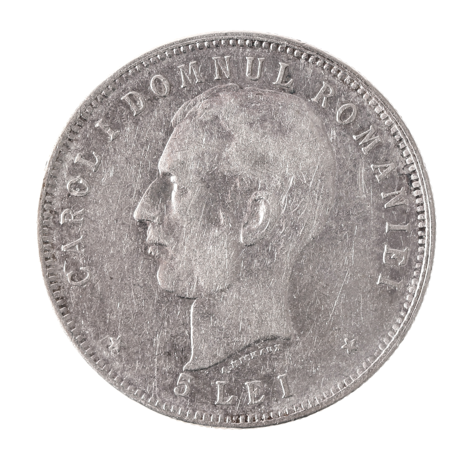
249. Medal "50 Years since the Reintegration of Dobruja", engraver Huguenin Frères, 1928