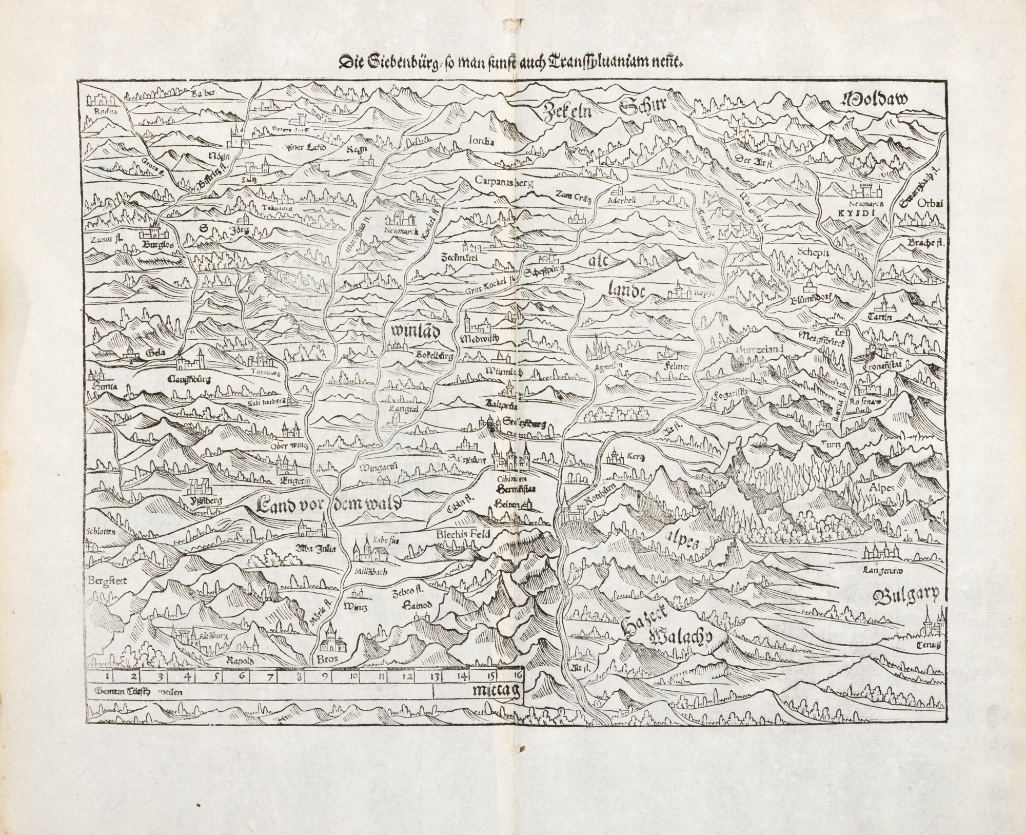
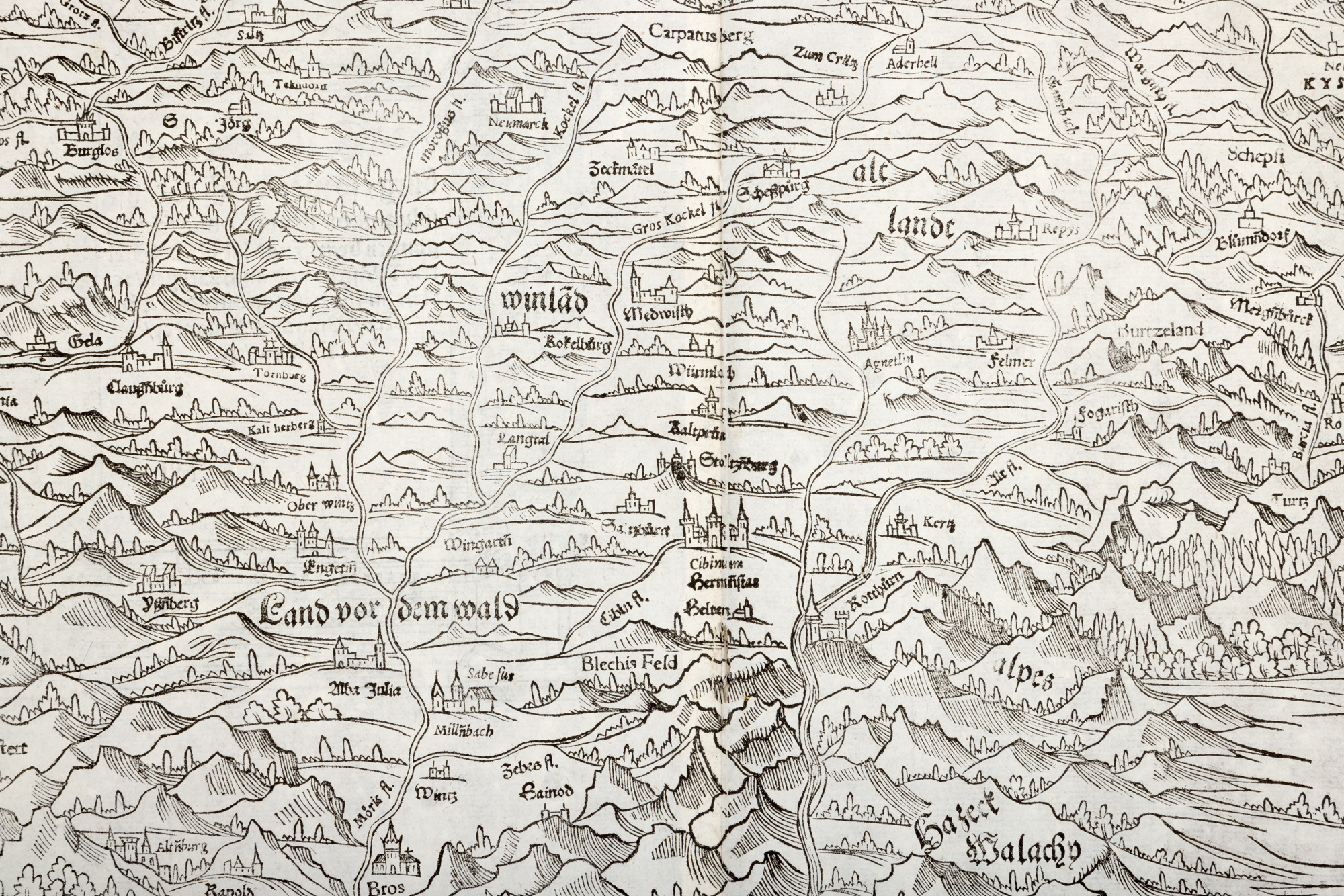
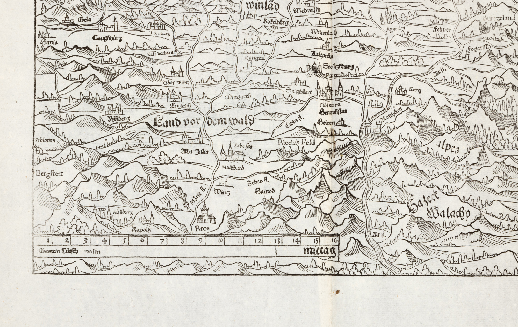
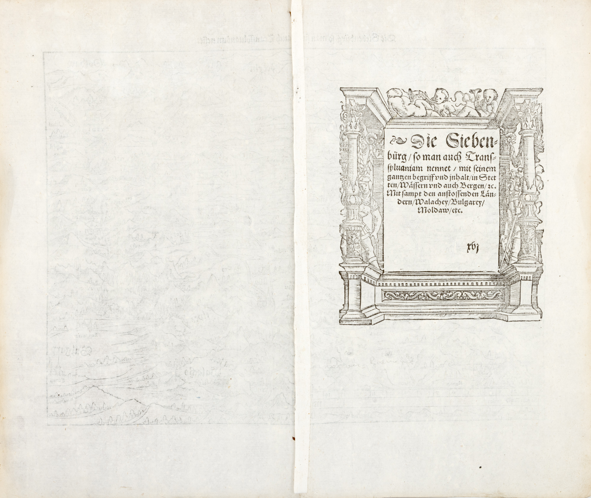
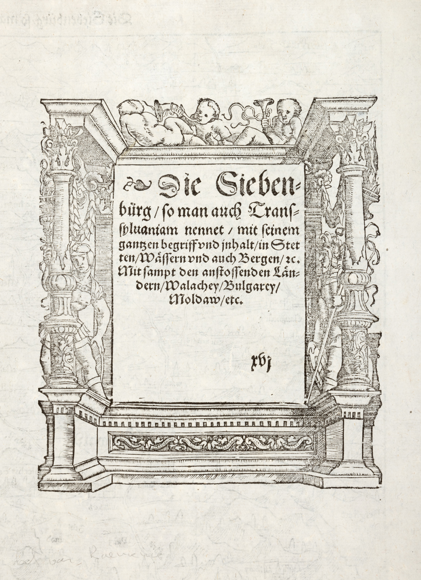
235. "Transylvania" Map, by Sebastian Münster, Basel, 1578, rare piece
Prodajna cijena
EUR 375
Sesija
Uto., 24 lipnja 2025 18:00
Opis
woodcut, laid paper
DODATNE INFORMACIJE
Za pojašnjenja u vezi s postupkom licitiranja, troškovima kupnje, uvjetima jamstva, plaćanja i preuzimanja osvojenog lota preporučujemo da pažljivo pročitate/ponovno pročitate Pravilnik o licitiranju.
Za dodatne informacije o lotu i aukciji kontaktirajte Odjel umjetničkih savjetnika.
Detalii
DODATNE INFORMACIJE
Za pojašnjenja u vezi s postupkom licitiranja, troškovima kupnje, uvjetima jamstva, plaćanja i preuzimanja osvojenog lota preporučujemo da pažljivo pročitate/ponovno pročitate Pravilnik o licitiranju.
Za dodatne informacije o lotu i aukciji kontaktirajte Odjel umjetničkih savjetnika.
Opis
woodcut, laid paper
Alternativni lotovi
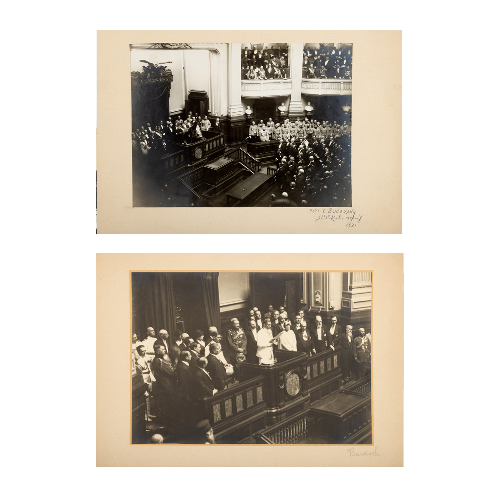
203. Lot consisting of two photographs illustrating King Ferdinand reading the Throne's message at the opening of the Parliament's works, E. Bucovsky and Carol Barasch studios, Bucharest, 1921-1922, coming from the collection of the family of the former Prime Minister of Romania, Petru Groza
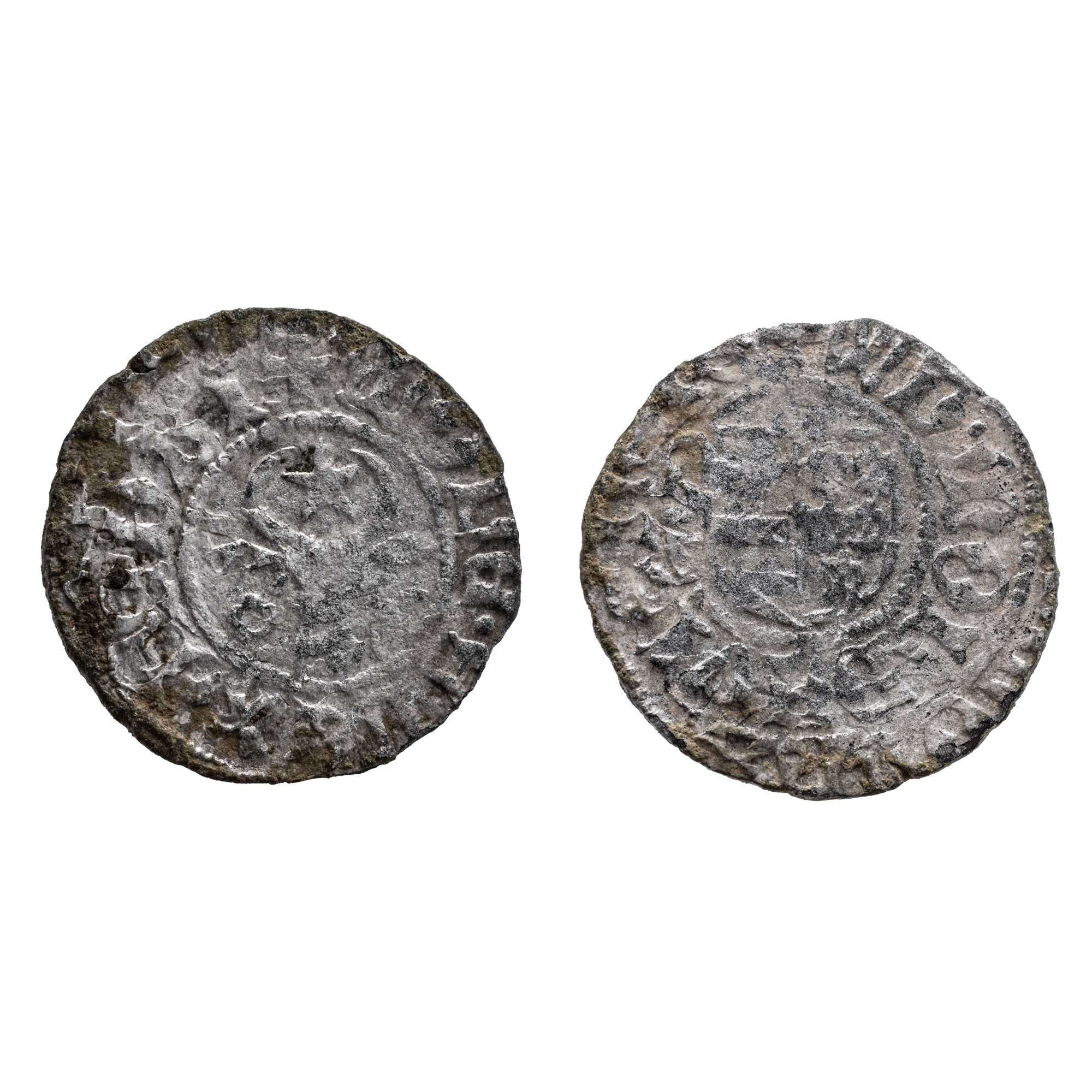
21. Gros Coin, Alexandru the Good, Moldova, 1400-1432, Silver