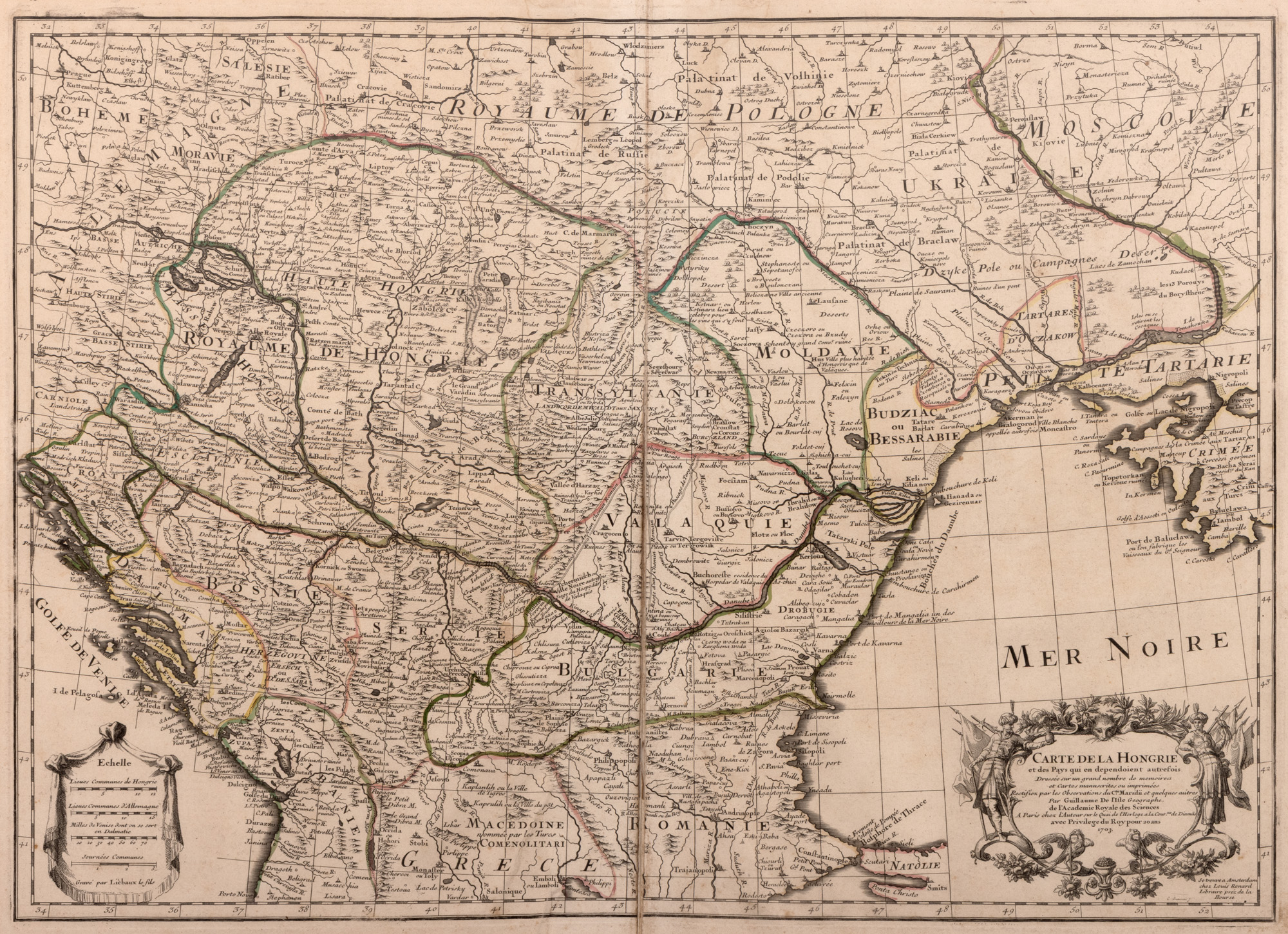
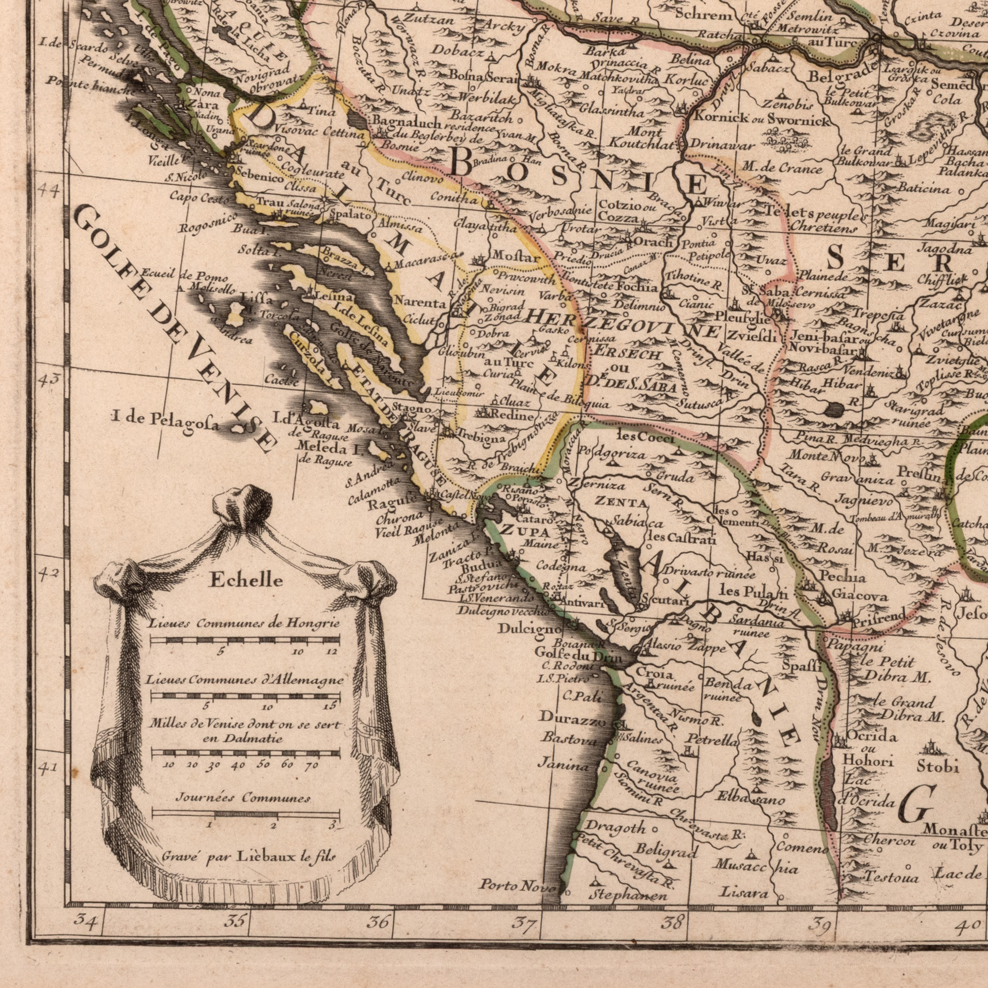
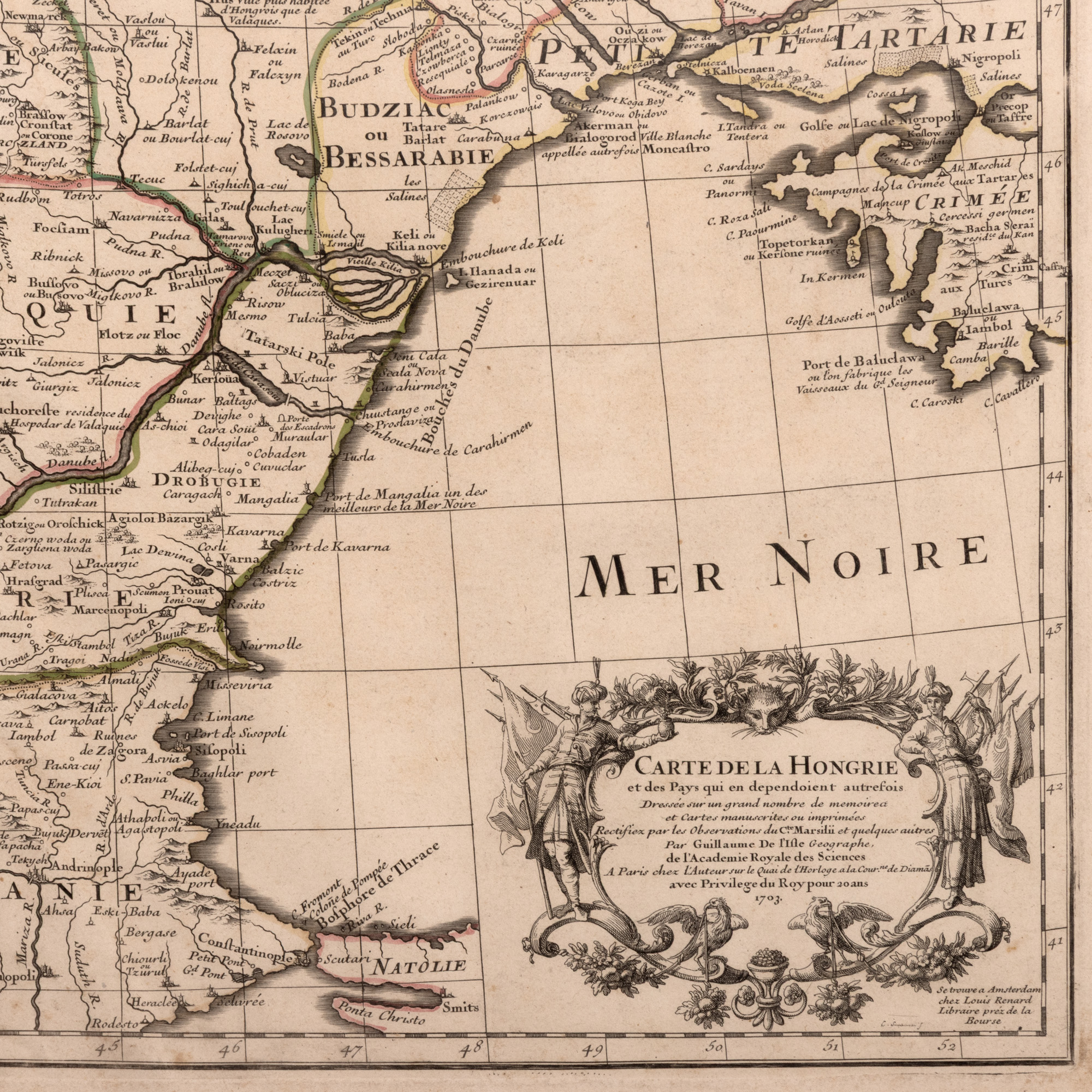
84. "Map 'Hungary', by Guillaume de L'Isle, Paris, 1780"
Početna cijena
EUR 100
Prodano
EUR 250
Sesija
Uto., 31 ožujka 2026 18:00
Dimenzije
width 70 cm, height 50 cm
Opis
copper engraving, striated paper, manually colored
DODATNE INFORMACIJE
Za pojašnjenja u vezi s postupkom licitiranja, troškovima kupnje, uvjetima jamstva, plaćanja i preuzimanja osvojenog lota preporučujemo da pažljivo pročitate/ponovno pročitate Pravilnik o licitiranju.
Za dodatne informacije o lotu i aukciji kontaktirajte Odjel umjetničkih savjetnika.
Detalii
DODATNE INFORMACIJE
Za pojašnjenja u vezi s postupkom licitiranja, troškovima kupnje, uvjetima jamstva, plaćanja i preuzimanja osvojenog lota preporučujemo da pažljivo pročitate/ponovno pročitate Pravilnik o licitiranju.
Za dodatne informacije o lotu i aukciji kontaktirajte Odjel umjetničkih savjetnika.
Dimenzije
width 70 cm, height 50 cm
Opis
copper engraving, striated paper, manually colored
Alternativni lotovi
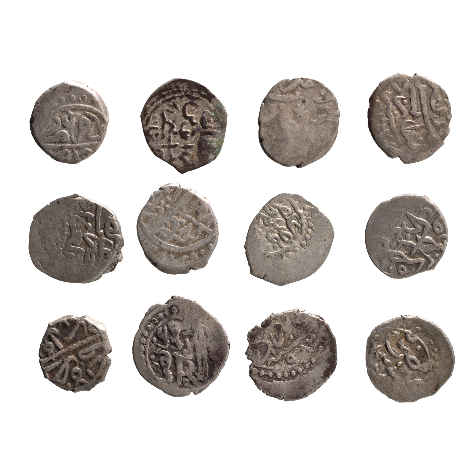
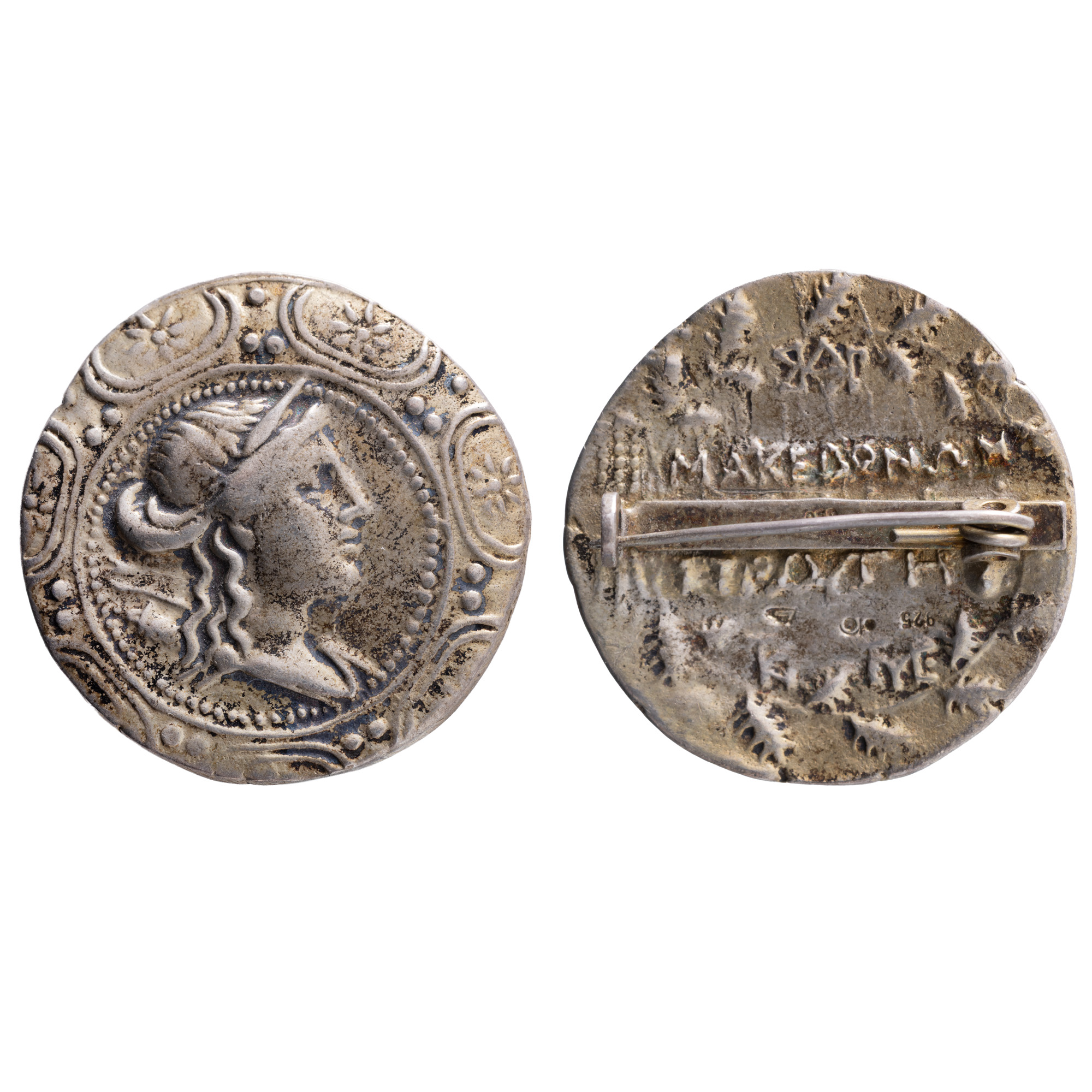
54. Unique treasure composed of 12 Ottoman Akçe, 15th-16th century, silver
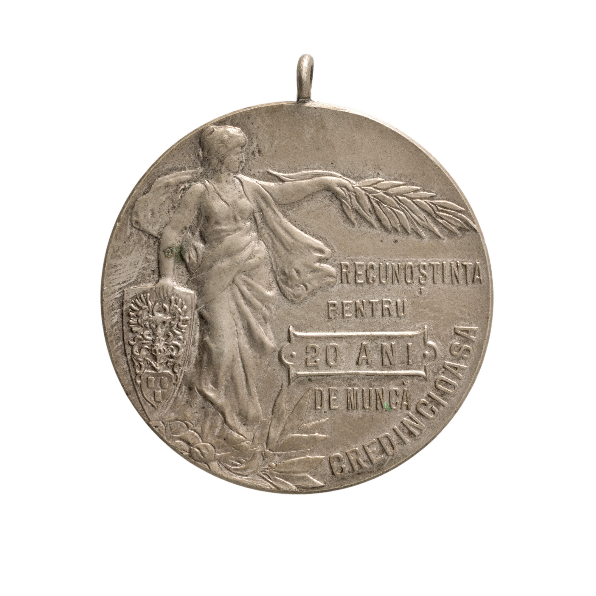
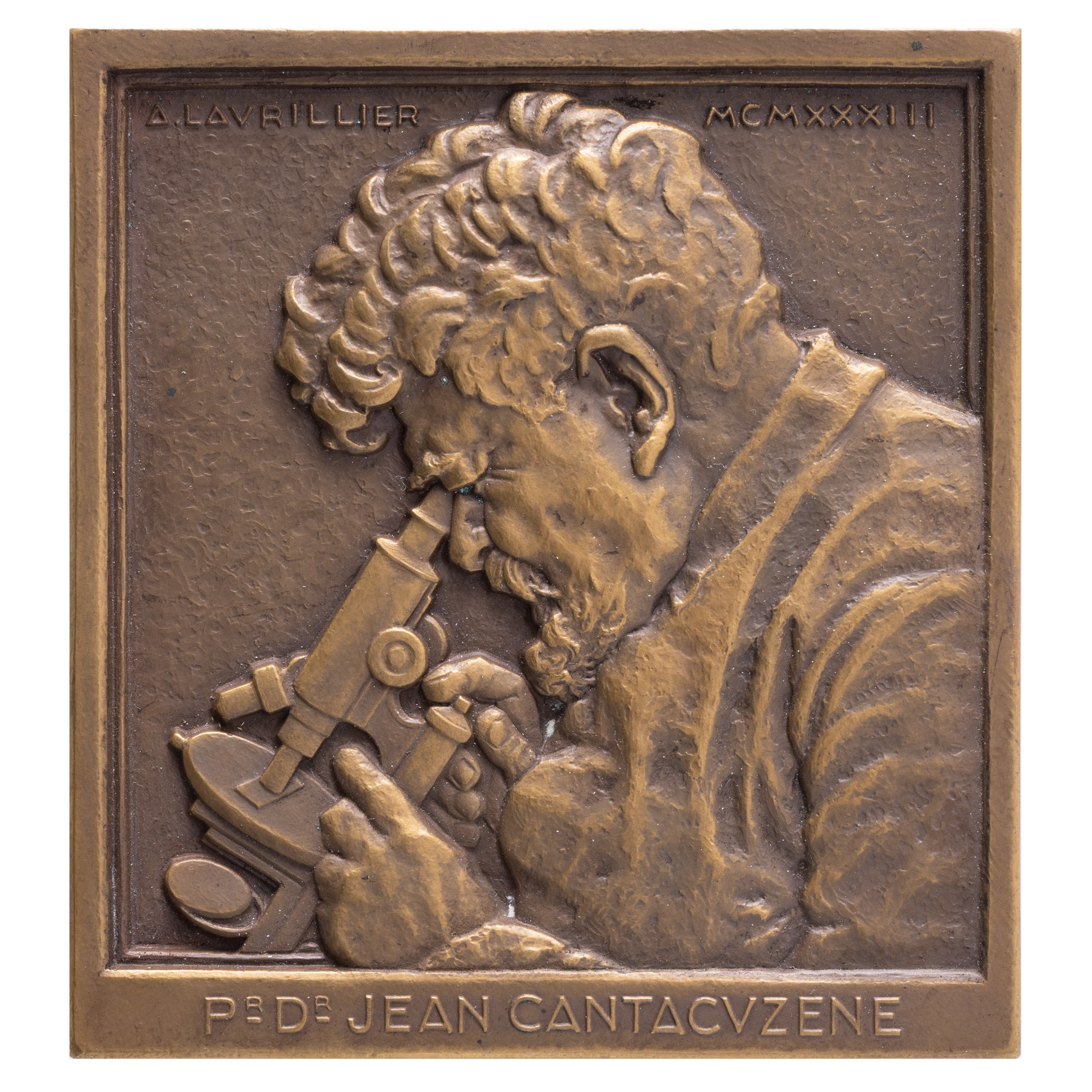
197. "20 Years of Faithful Work at the Bușteni Paper Factory" Medal, Carniol the son engraver, 1902