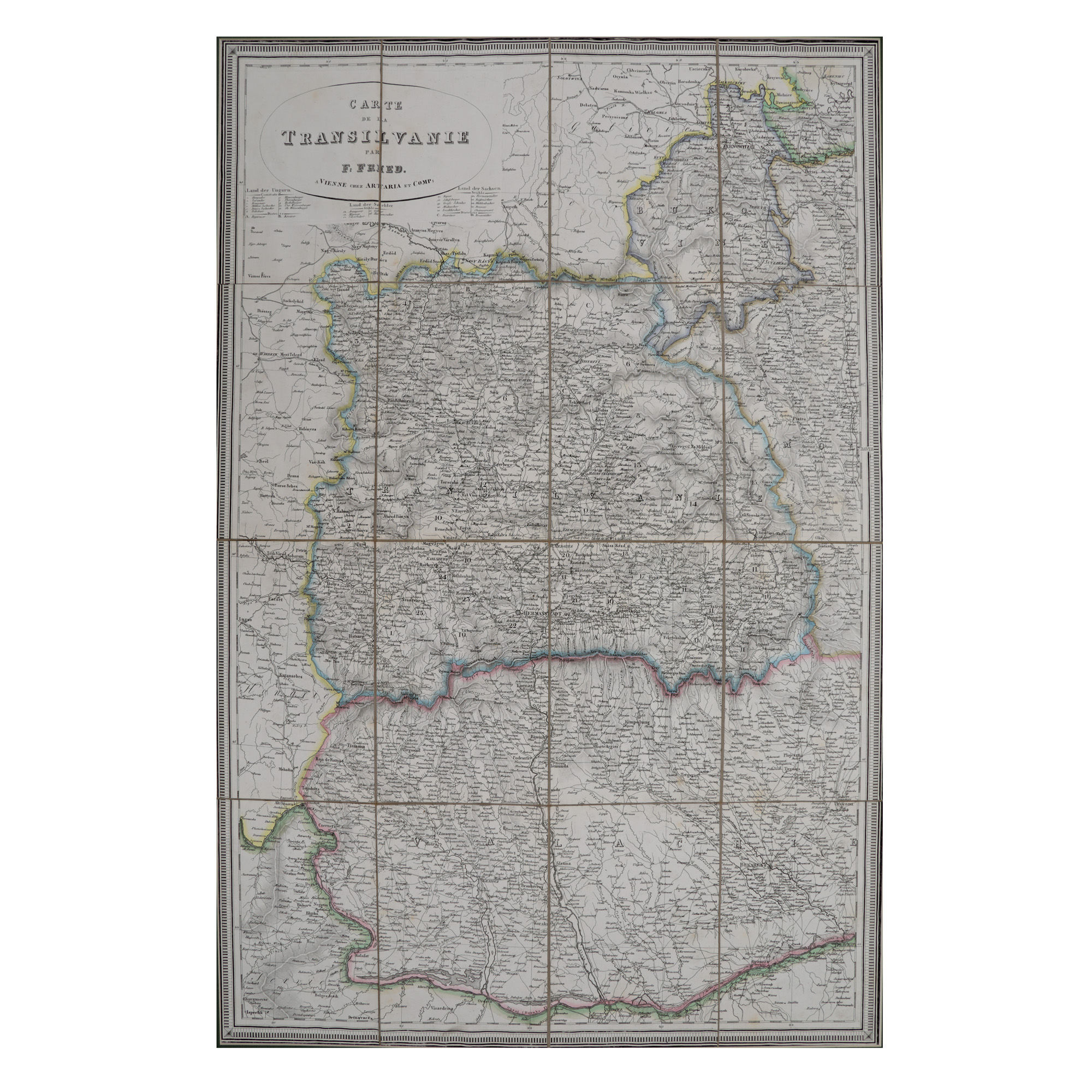
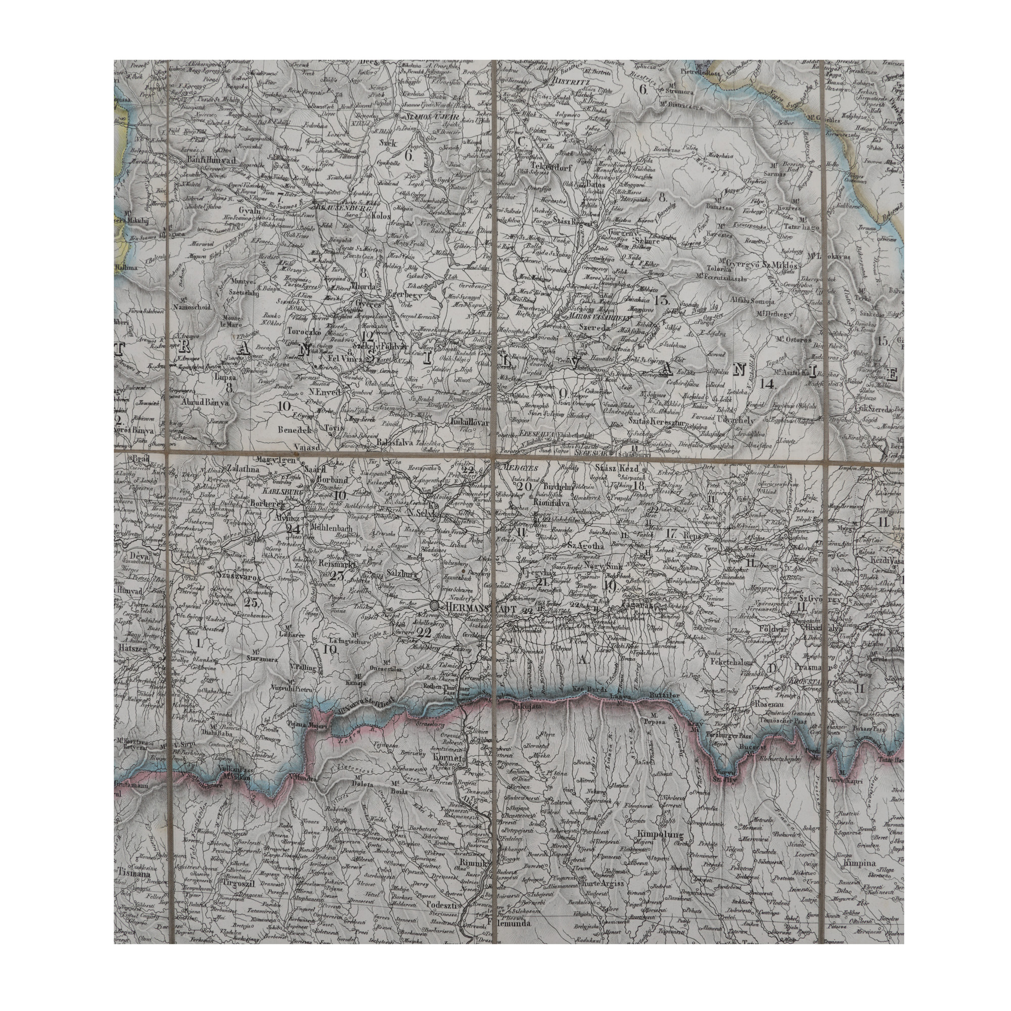

75. "Transylvania" map, made by F. Fried, Vienna, 19th century
Prodajna cijena
EUR 1.200
Sesija
Uto., 21 studenoga 2023 19:00
Dimenzije
width 56 cm, height 83 cm
Opis
lithography on canvas
DODATNE INFORMACIJE
Za pojašnjenja u vezi s postupkom licitiranja, troškovima kupnje, uvjetima jamstva, plaćanja i preuzimanja osvojenog lota preporučujemo da pažljivo pročitate/ponovno pročitate Pravilnik o licitiranju.
Za dodatne informacije o lotu i aukciji kontaktirajte Odjel umjetničkih savjetnika.
Detalii
DODATNE INFORMACIJE
Za pojašnjenja u vezi s postupkom licitiranja, troškovima kupnje, uvjetima jamstva, plaćanja i preuzimanja osvojenog lota preporučujemo da pažljivo pročitate/ponovno pročitate Pravilnik o licitiranju.
Za dodatne informacije o lotu i aukciji kontaktirajte Odjel umjetničkih savjetnika.
Dimenzije
width 56 cm, height 83 cm
Opis
lithography on canvas
Alternativni lotovi
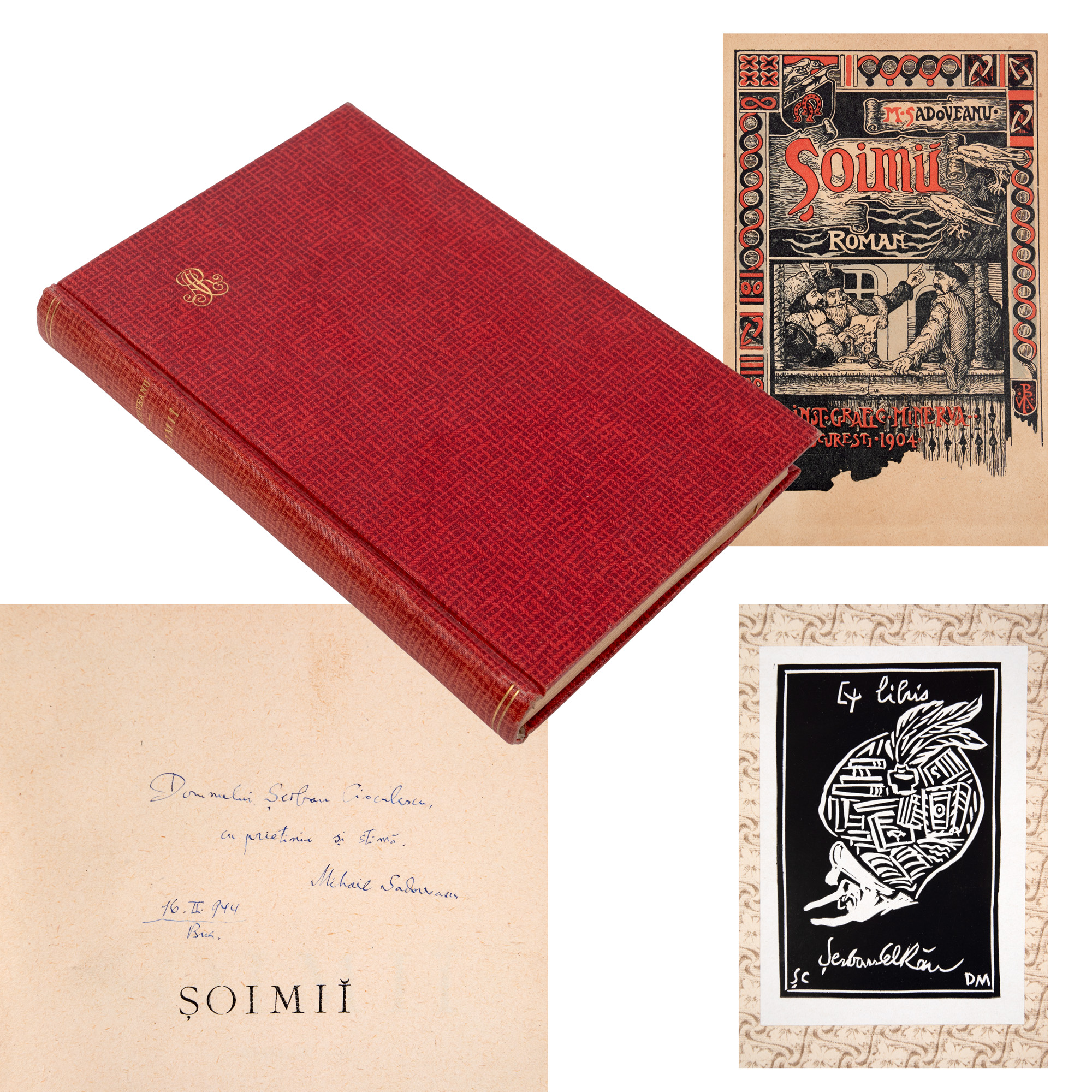
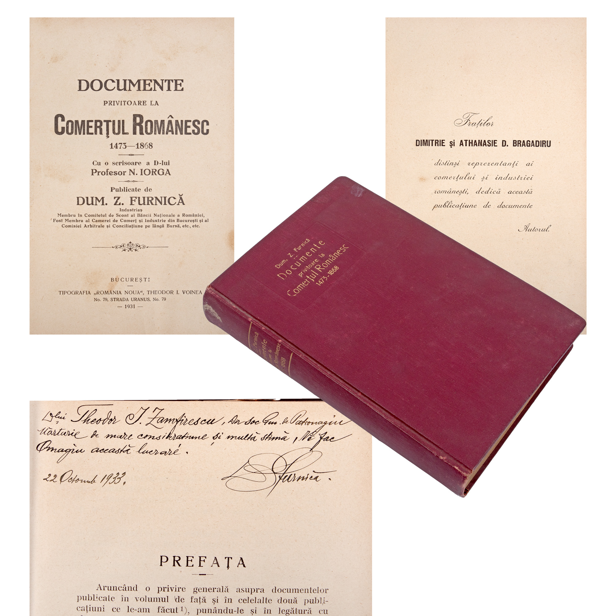
27. Set of "Șoimii" ("The Falcons"), by Mihail Sadoveanu, editio princeps, Bucharest, 1904, with the author's dedication to Șerban Cioculescu, with the critic’s ex libris and two manuscript pages of Mihail Sadoveanu, from the collection of literary critic Șerban Cioculescu
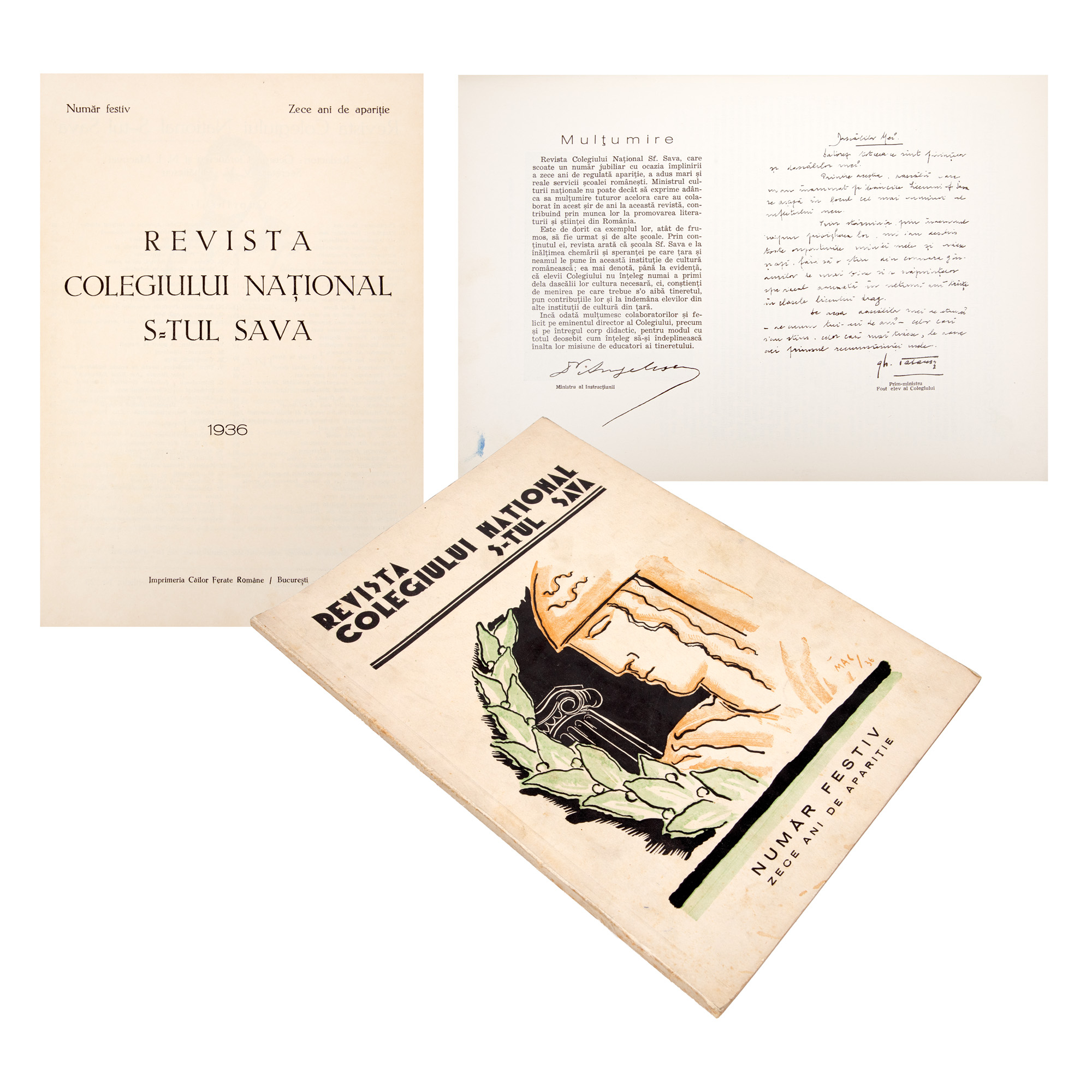
110. "Revista Colegiului Național Sfântul Sava", ("Magazine of Saint Sava National High School"), a festive issue, ten year anniversary, Bucharest, 1936