
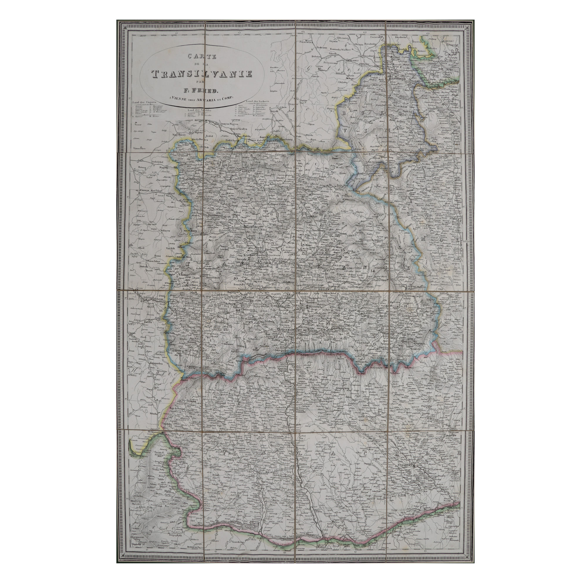
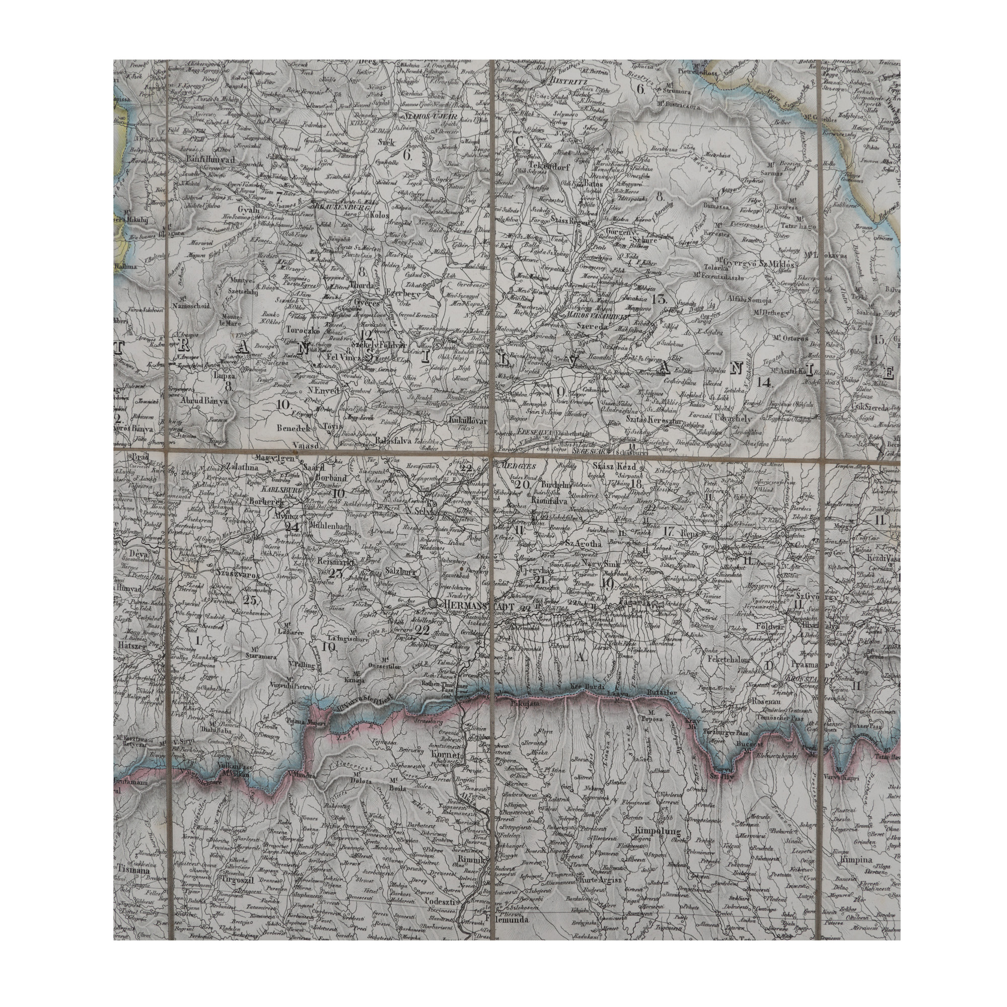
75. "Transylvania" map, made by F. Fried, Vienna, 19th century

The photos of the lot are informative and indicative, and cannot provide a highly detailed view of the object from all angles. We recommend a careful physical inspection of the lot before bidding.
75. "Transylvania" map, made by F. Fried, Vienna, 19th century
Starting price:
EUR 800
Not sold
lithography on canvas, 83 x 56 cm
The map was printed by Artaria Publishing House in Vienna, based on the work performed by geography teacher F. Fried. The piece contains the regions inhabited by Hungarians, Germans, and Romanians, as well as Transylvania’s administrative subdivisions at the start of the 19th century, probably around the year 1830, when the map was printed. As a curiosity, the title of the play is rendered in French, while all the other legends are drawn up in German. Another edition of the work was published at Vienna in 1849. Copper engraving, hand-coloured after imprinting.
For clarifications regarding the bidding procedure, hammer price costs, guarantee, payment, and collection terms for the winning lot, we recommend carefully reading/re-reading the Bidding Regulations.
For additional information regarding the lot and the auction, please contact the Art Consultants Department.
SESSION
Similar lots
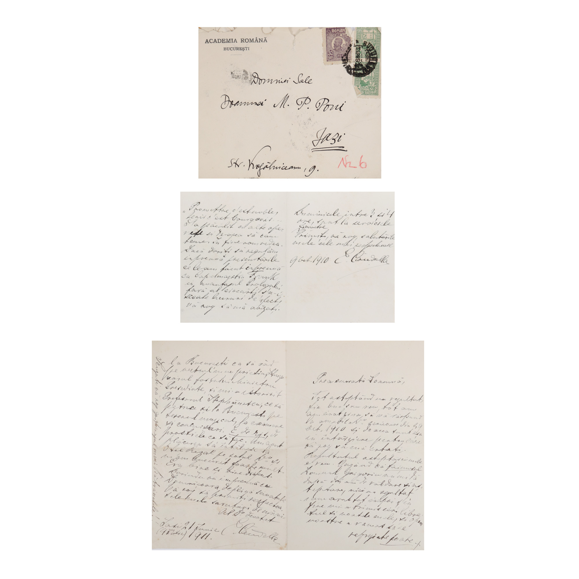
90. Two letters sent by the composer Eduard Caudella to Matilda Petru Poni, 1910-1911, in a period envelope
Starting price:
EUR 50
Sold
EUR 125
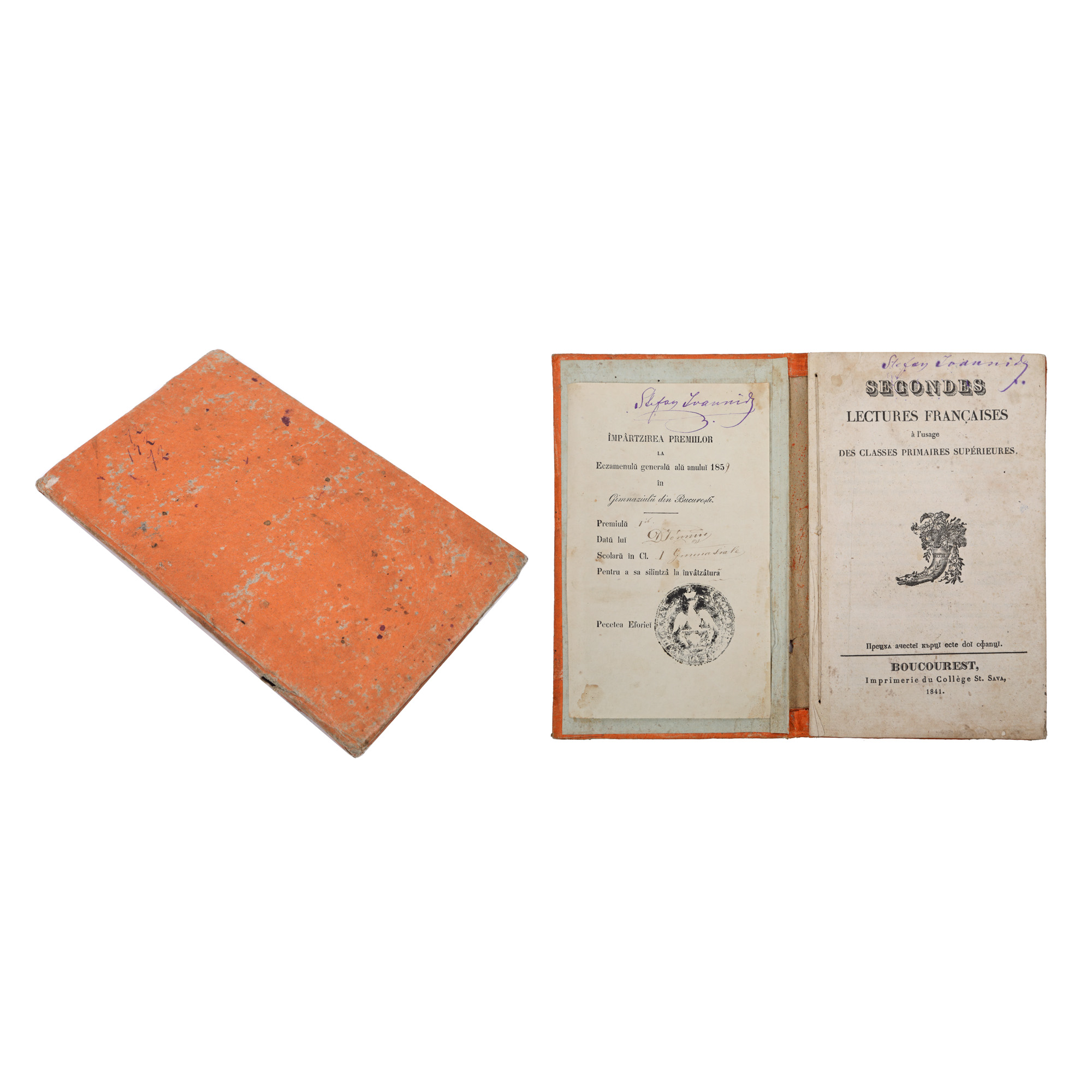
200. Set consisting pf the volume "A doua lectură de franceză pentru clasele primare superioare" ("The second French reading for Higher Grades"), Bucharest, 1841, with ex libris, a copy offered as a prize for graduation from the first grade in secondary school, and a certificate of award from 1859
Starting price:
EUR 50
Sold
EUR 150