
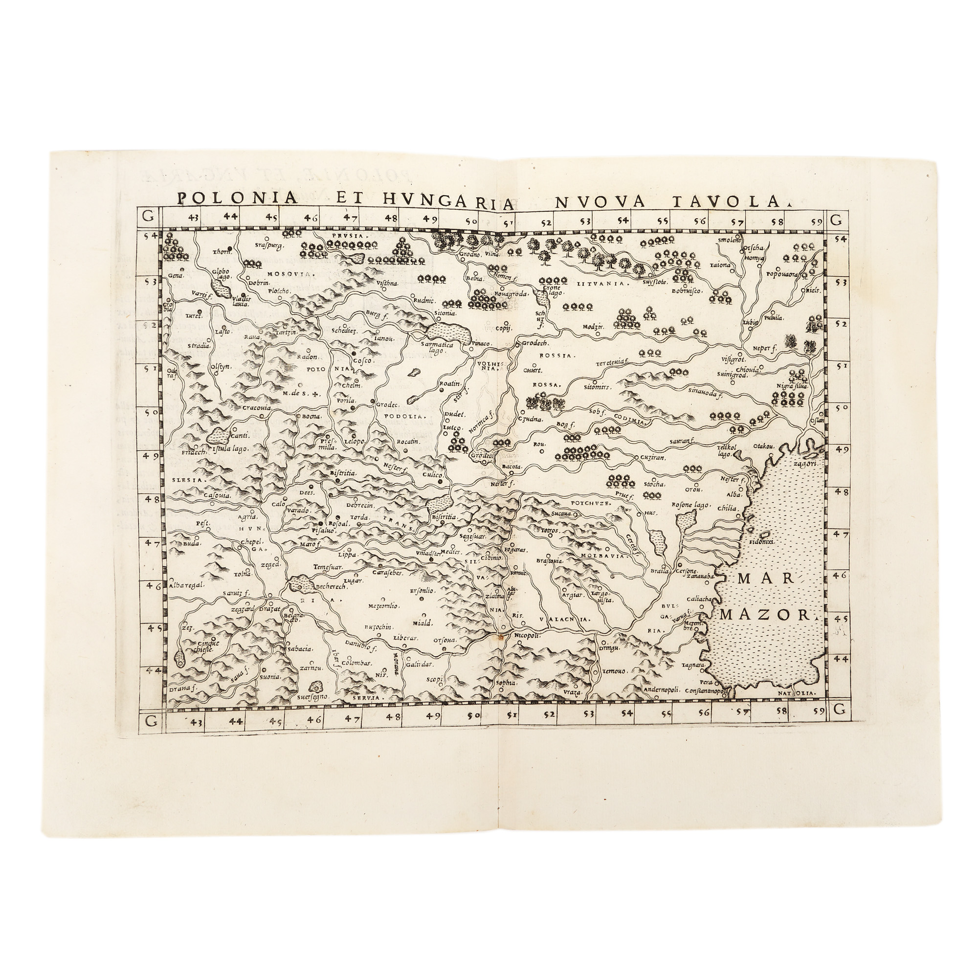
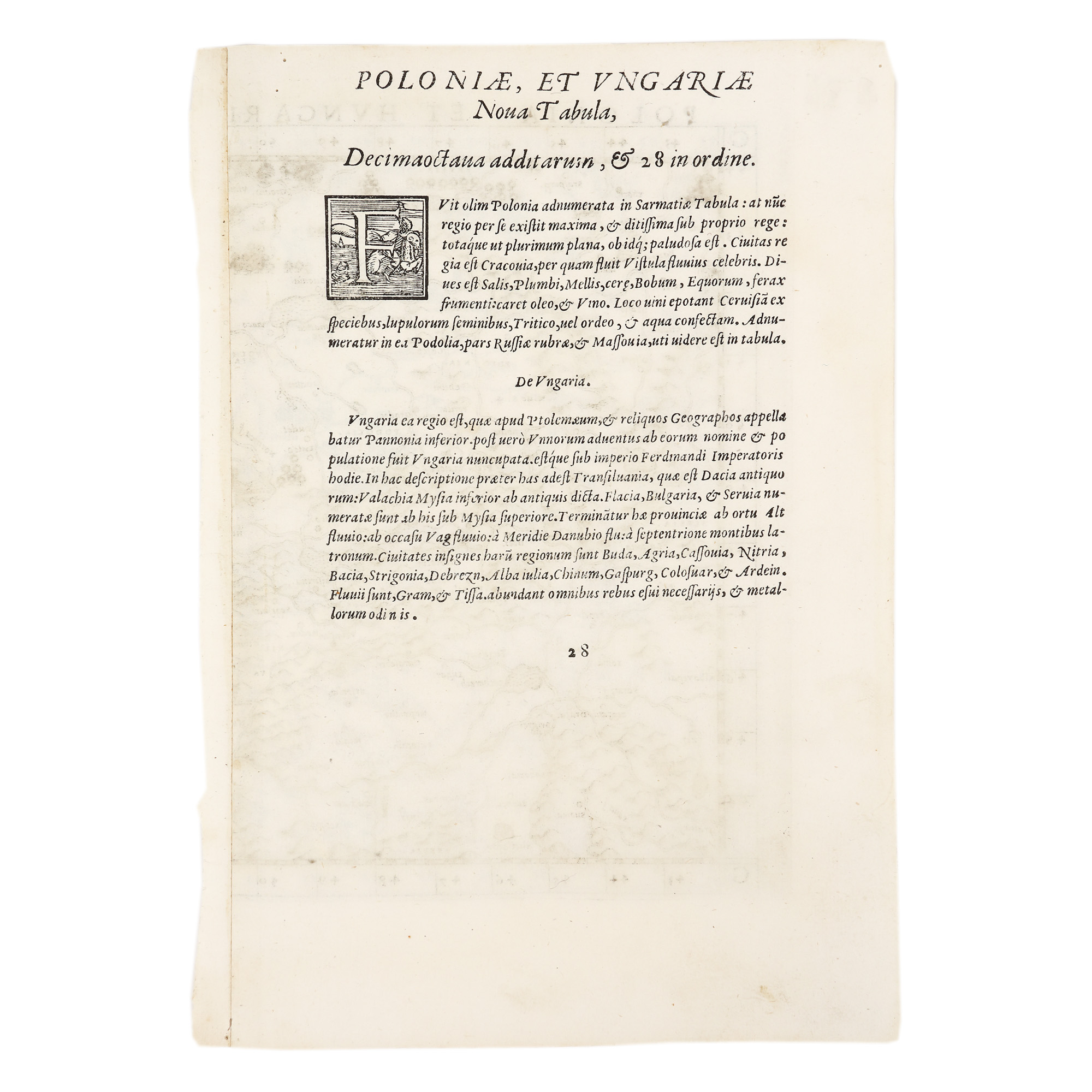
213. Map "Polonia și Ungaria" ("Poland and Hungary"), by Girolamo Ruscelli, 1574
The photos of the lot are informative and indicative, and cannot provide a highly detailed view of the object from all angles. We recommend a careful physical inspection of the lot before bidding.
213. Map "Polonia și Ungaria" ("Poland and Hungary"), by Girolamo Ruscelli, 1574
Starting price:
EUR 250
Sold
EUR 300
copperplate engraving, striped paper, 23 x 31 cm
The map of Poland and Hungary was printed by the Italian geographer, humanist and publisher Girolamo Ruscelli (1500-1566) as part of his atlas La Geografia. The copy is part of an edition published in 1574 in Venice and takes over an earlier work first published by Sebastian Munster in 1544. The map includes Transylvania and Banat and the Black Sea appears under the old name of Mar Mazor.
For clarifications regarding the bidding procedure, hammer price costs, guarantee, payment, and collection terms for the winning lot, we recommend carefully reading/re-reading the Bidding Regulations.
For additional information regarding the lot and the auction, please contact the Art Consultants Department.
SESSION
Similar lots
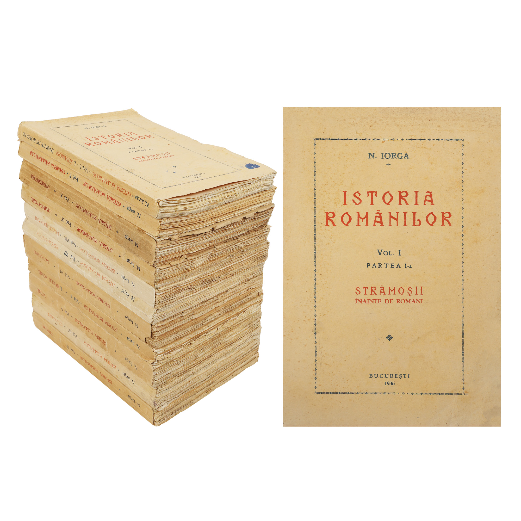
169. "Istoria Românilor" ("History of Romania"), by Nicolae Iorga, Bucharest, ten volumes, 1936-1939
Starting price:
EUR 500
Sold
EUR 500
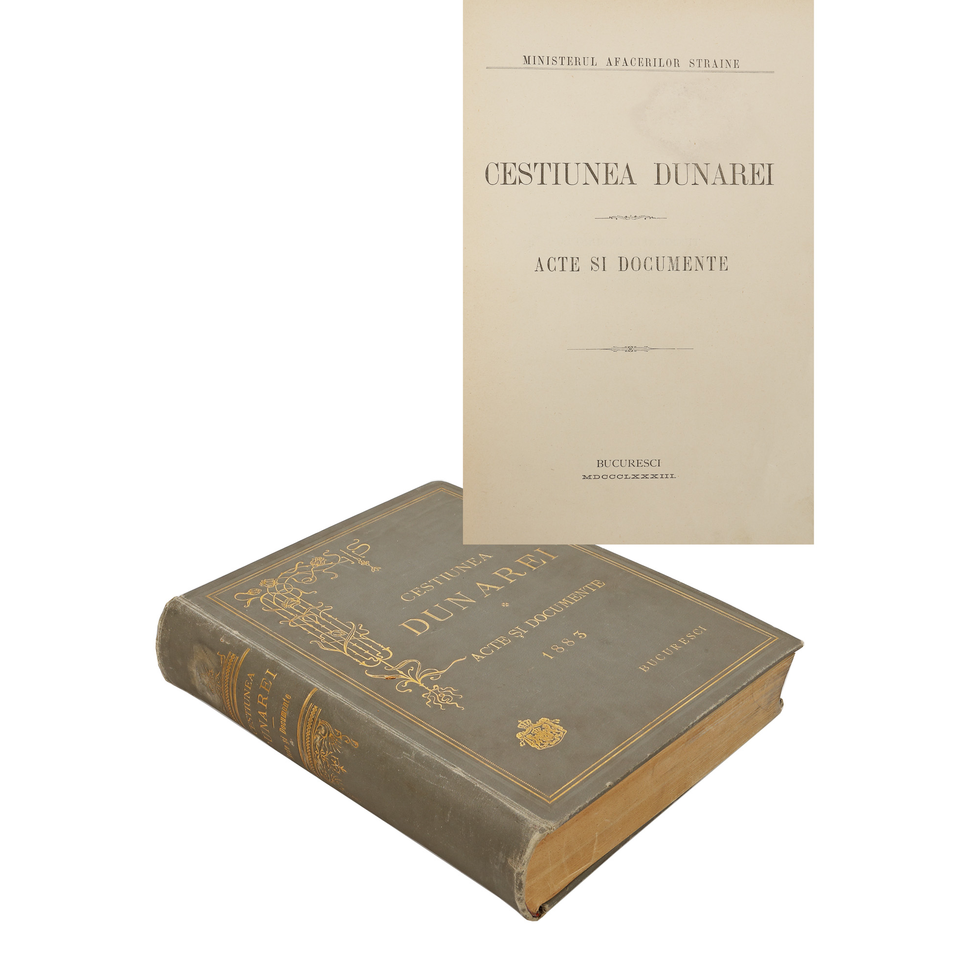
187. "Chestiunea Dunărei" ("The Danube Issue"), published by the Ministry of Foreign Affairs, Bucharest, 1883
Starting price:
EUR 150
Sold
EUR 175