
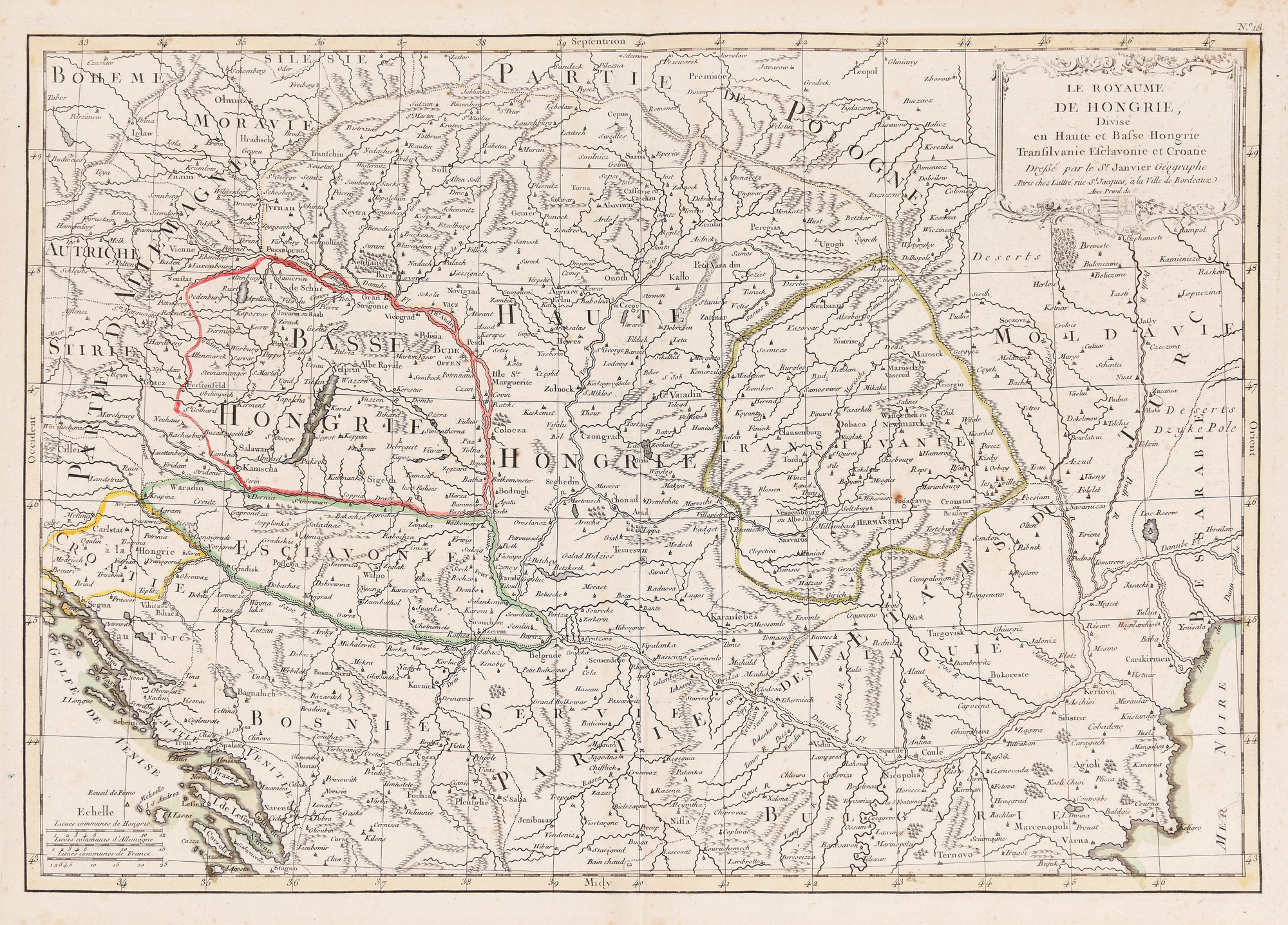
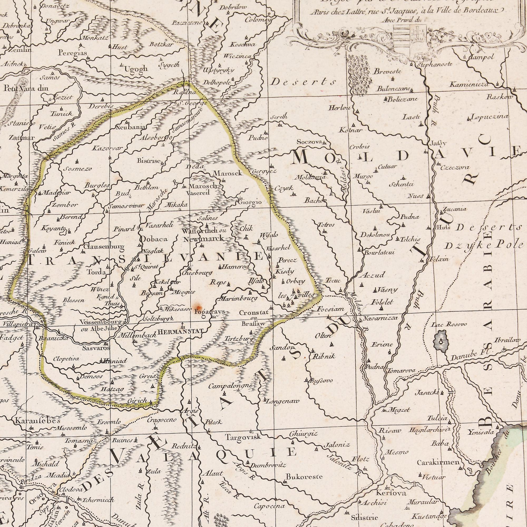
245. "Kingdom of Hungary" map, by Robert Janvier, approx. 1770
The photos of the lot are informative and indicative, and cannot provide a highly detailed view of the object from all angles. We recommend a careful physical inspection of the lot before bidding.
245. "Kingdom of Hungary" map, by Robert Janvier, approx. 1770
Starting price:
EUR 100
Sold
EUR 400
metal engraving, striped paper, 31 x 44.5 cm, 31 Ã 44.5 cm
"Le Royaume de Hongrie, divise en haute et basse Hongrie, Transilvanie, Essclavonie, Croatie", editor Jean Lattre. ("The Kingdom of Hungary, divided into Upper and Lower Hungary, Transilvania, Essclavonia, Croatia"), editor Jean Lattre. This map shows the territory of Hungary, Transylvania and neighbouring countries. Part of the "Atlas Moderne". Hungary at this time was ruled by Joseph II, a dynamic, powerful and Enlightenment-influenced leader. He was the eldest son of Empress Maria Theresa and also the brother of the future Queen of France, Marie Antoinette, who ended up with her husband Louis XVI on the scaffold, both victims of the French Revolution. The cartouche is on the top right, hand coloured and features the royal emblem of Hungary. The map also includes the territory of Transylvania, where the rebellion of Horia, Cloșca and Crișan took place in 1784.
For clarifications regarding the bidding procedure, hammer price costs, guarantee, payment, and collection terms for the winning lot, we recommend carefully reading/re-reading the Bidding Regulations.
For additional information regarding the lot and the auction, please contact the Art Consultants Department.
SESSION
Brought to you by
Similar lots
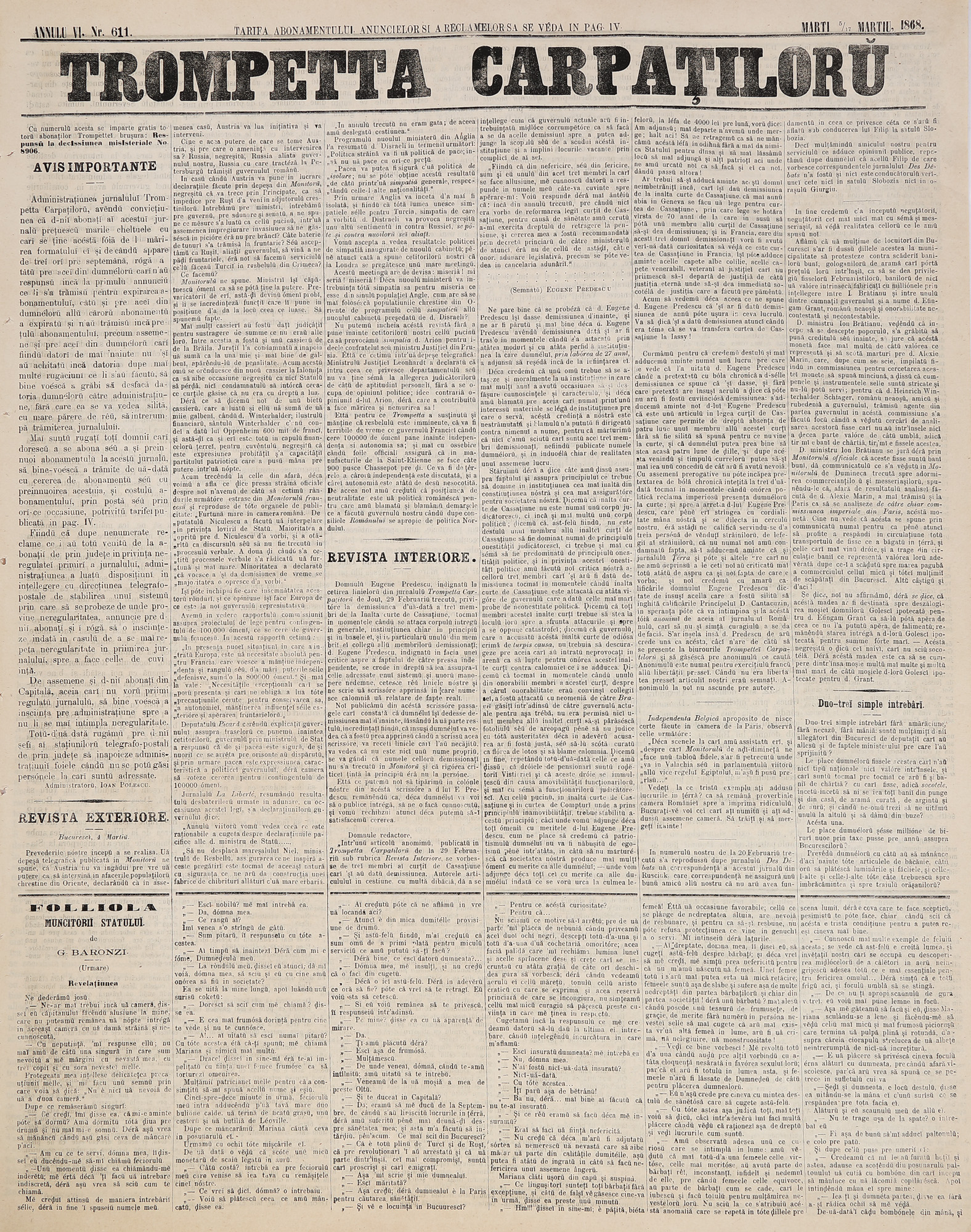
149. "Trompeta Carpaților" newspaper, no. 611, Bucharest, March 5/17, 1868
Starting price:
EUR 50
Sold
EUR 50