
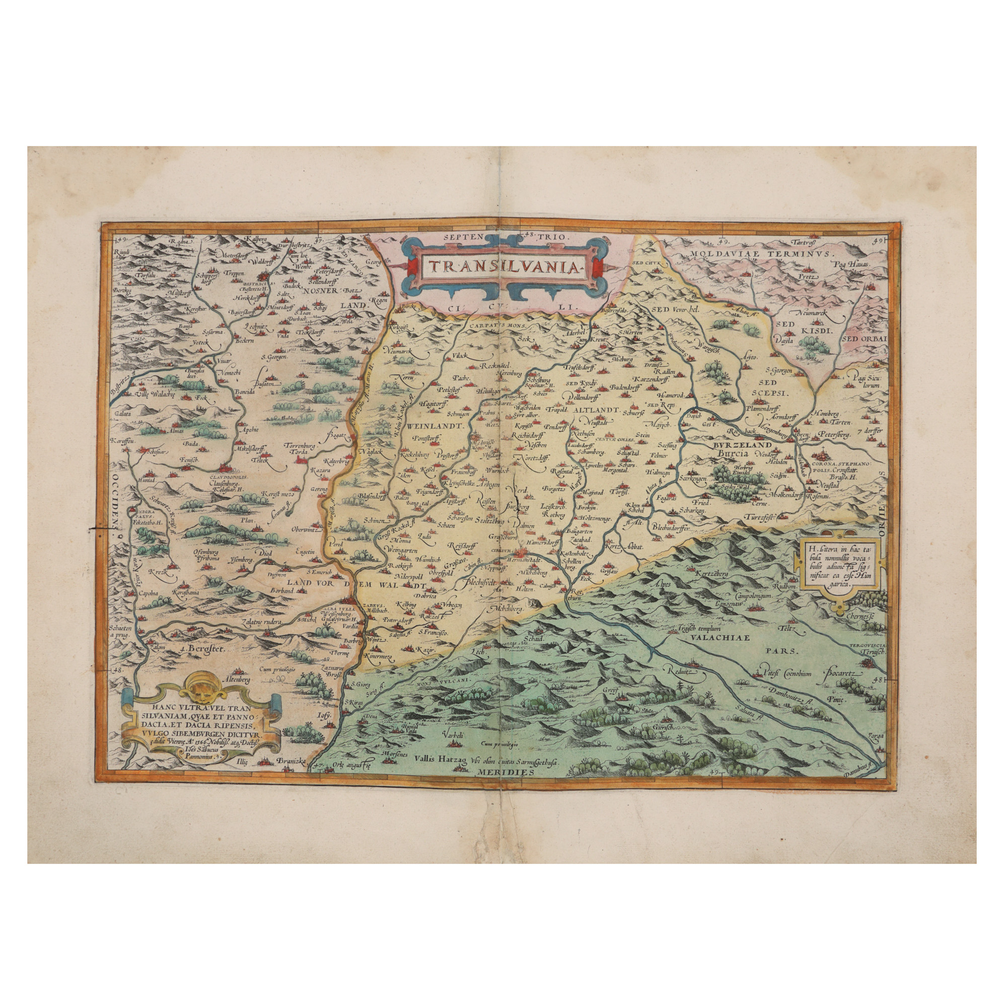
184. "Transylvania" Map, by Johannes Sambucus (Janos Zsamboky), printed by Abraham Ortelius, Orbis Terrarum edition, Antwerp, 1566
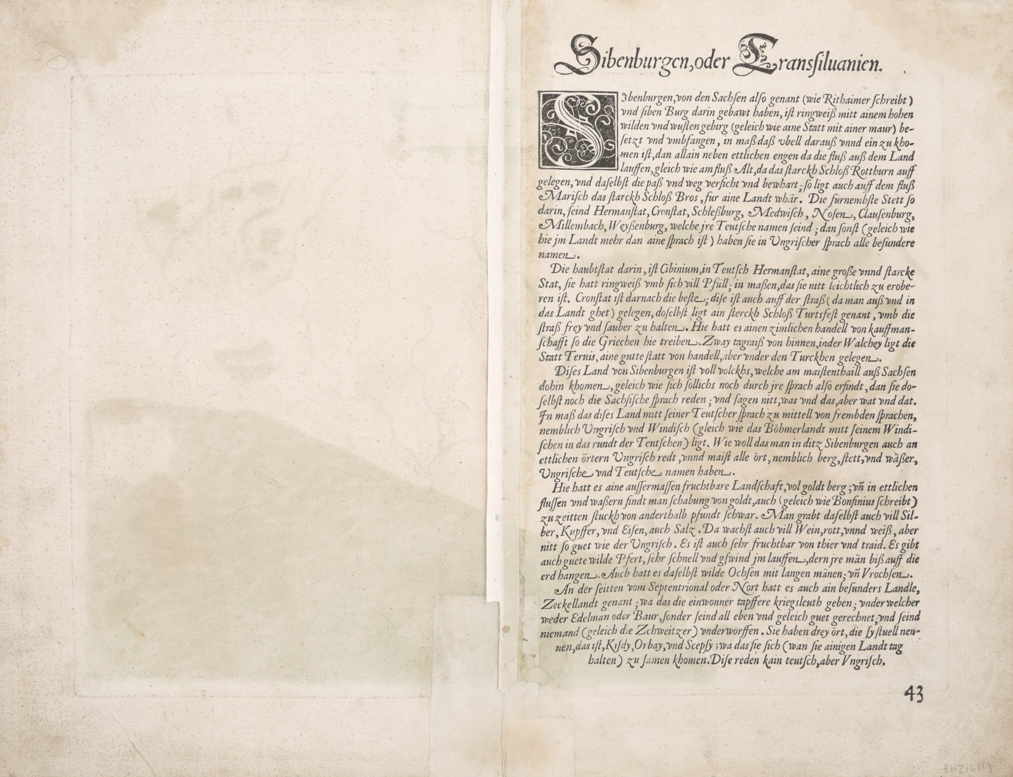
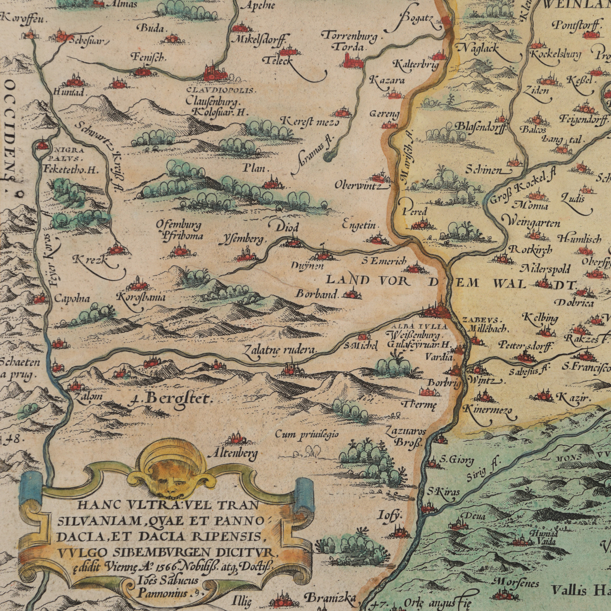
The photos of the lot are informative and indicative, and cannot provide a highly detailed view of the object from all angles. We recommend a careful physical inspection of the lot before bidding.
184. "Transylvania" Map, by Johannes Sambucus (Janos Zsamboky), printed by Abraham Ortelius, Orbis Terrarum edition, Antwerp, 1566
Starting price:
EUR 350
Sold
EUR 400
copper engraving, laid paper, hand colored, 44 x 31 cm
Map of Transylvania, compiled by the Hungarian scholar, geographer and editor Johannes Sambucus (Janos Zsamboky, 1531-1584) after Honterus's, published in Basel in 1532. The piece is part of the first edition that the geographer printed in Vienna in 1566. It stands out through the legend printed on the right side, consisting of five rows. Later editions had this legend formed by four rows. Hand colored copper engraving after printing.
For clarifications regarding the bidding procedure, hammer price costs, guarantee, payment, and collection terms for the winning lot, we recommend carefully reading/re-reading the Bidding Regulations.
For additional information regarding the lot and the auction, please contact the Art Consultants Department.
SESSION
Similar lots

64. The Cross of Honor "For Merit", class II, silver, jeweller Heinrich Weiss, Bucharest, interwar period
Starting price:
EUR 250
Not sold
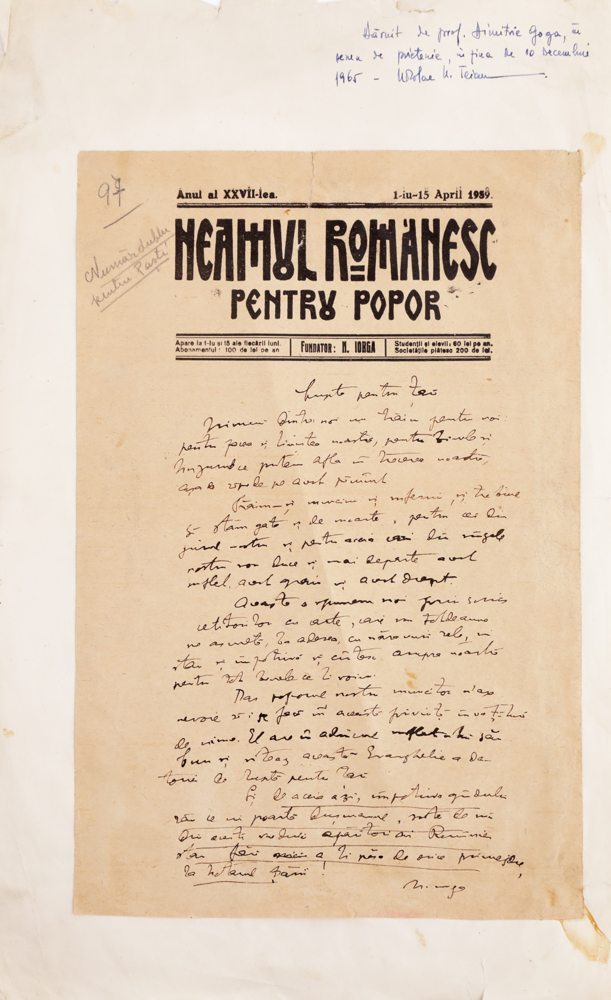
168. Manuscript of an article written by Nicolae Iorga, with the header of "Romanian Nation" magazine, dated 1939 and signed, with ex-libris
Starting price:
EUR 125
Sold
EUR 250