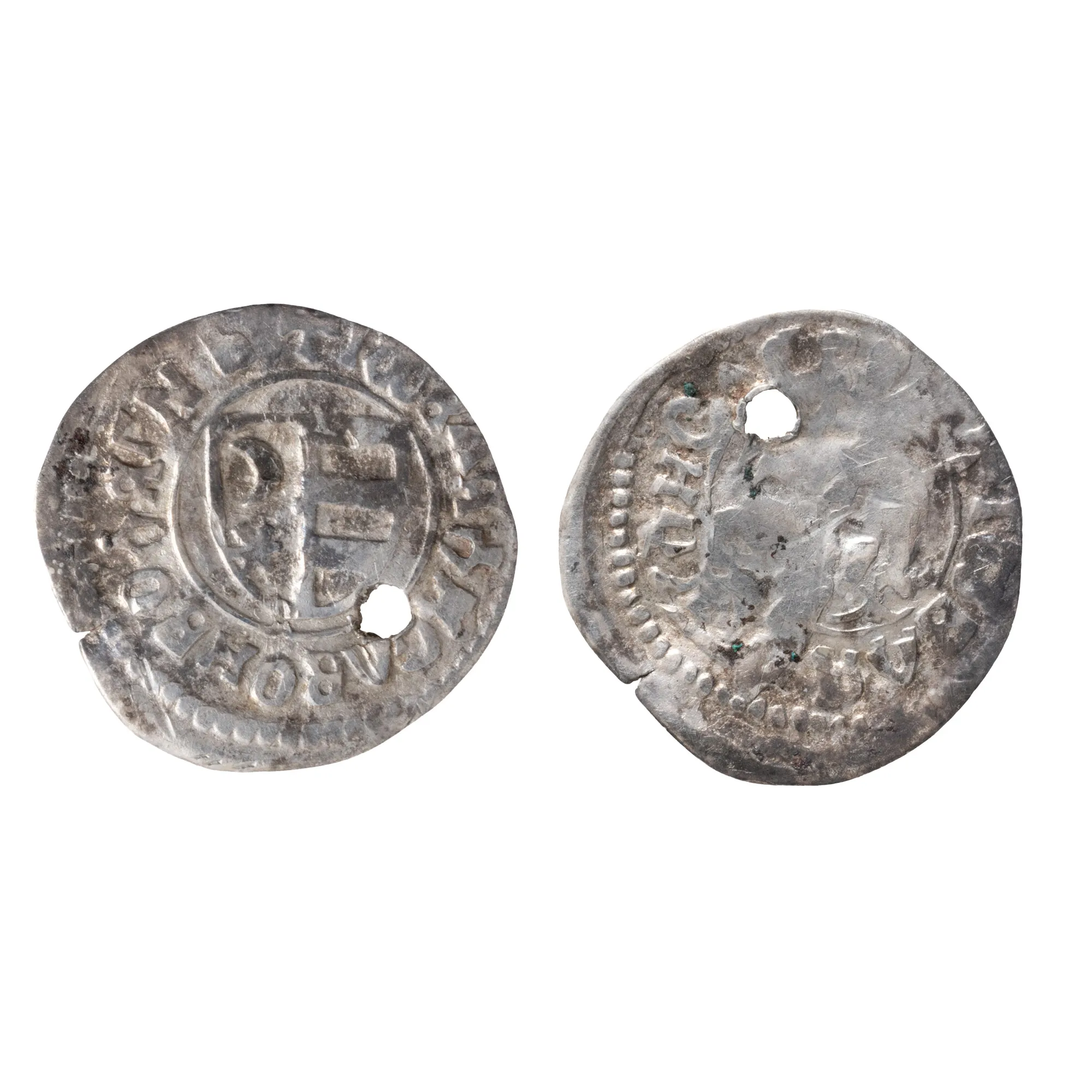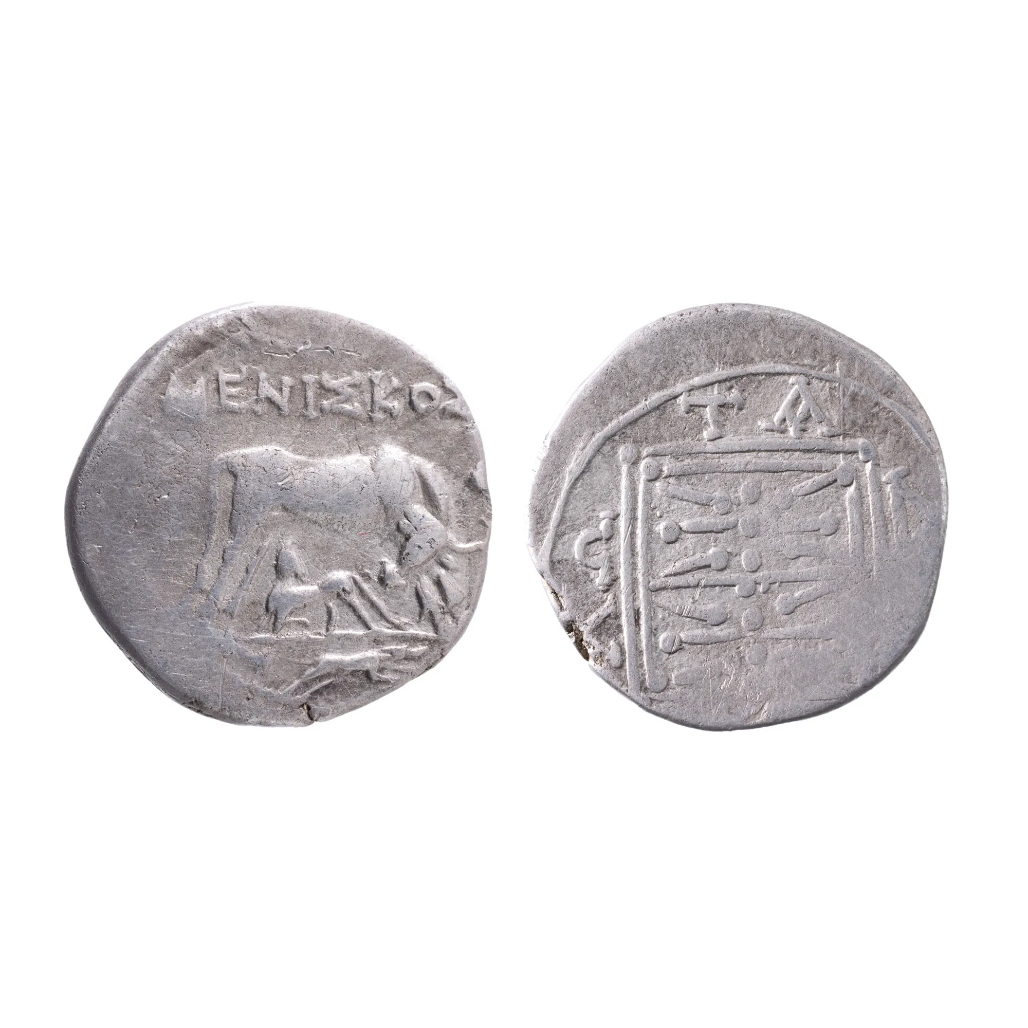

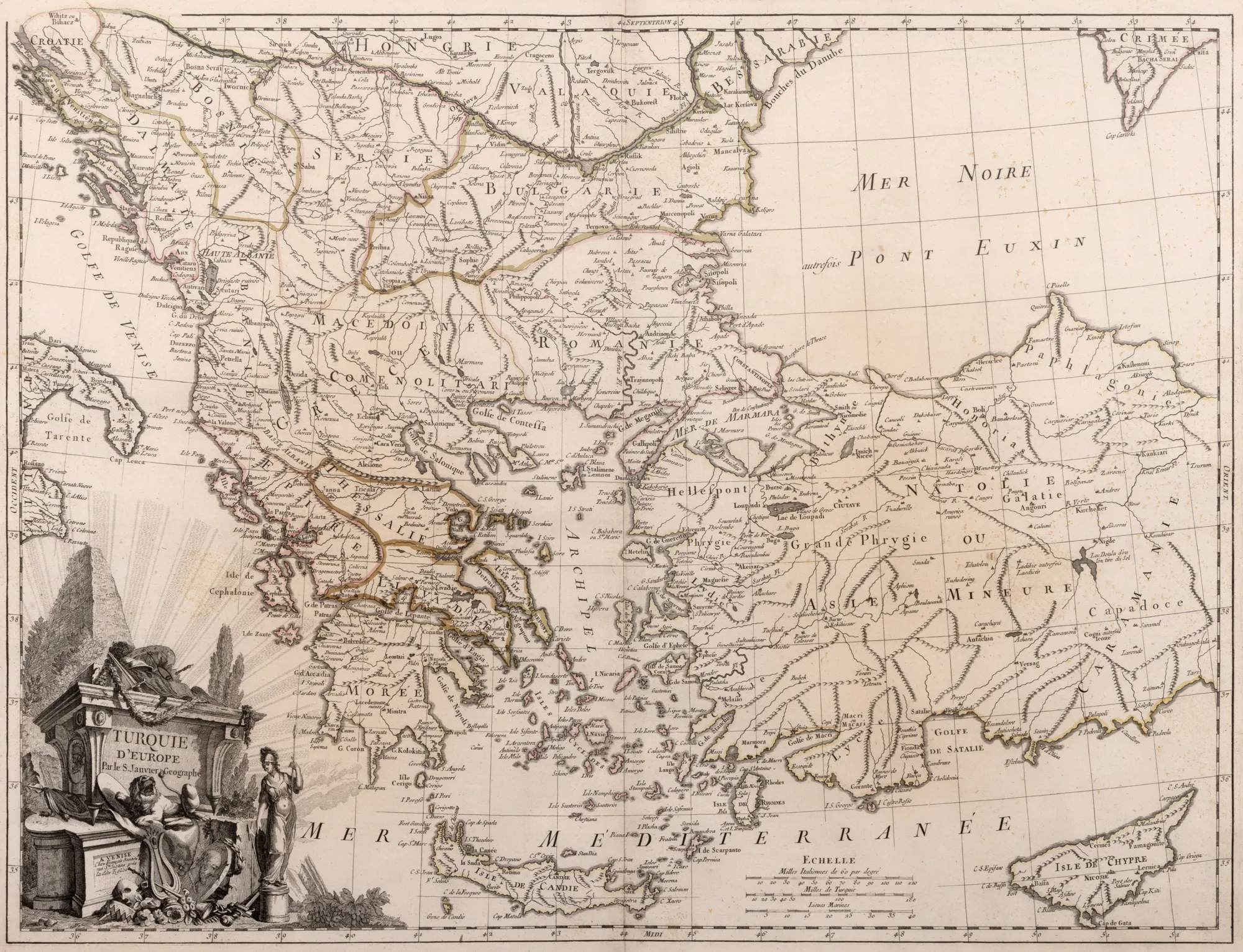
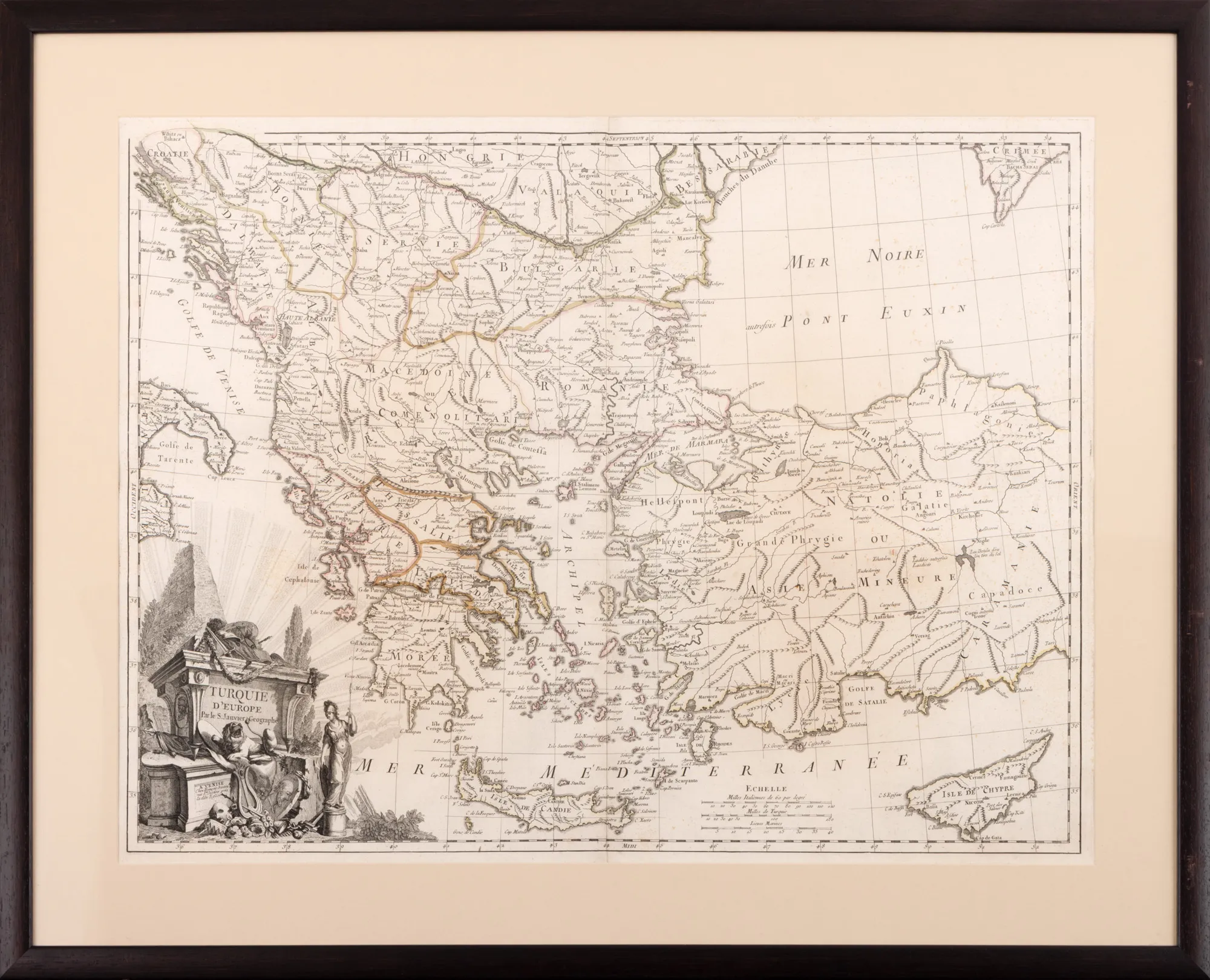
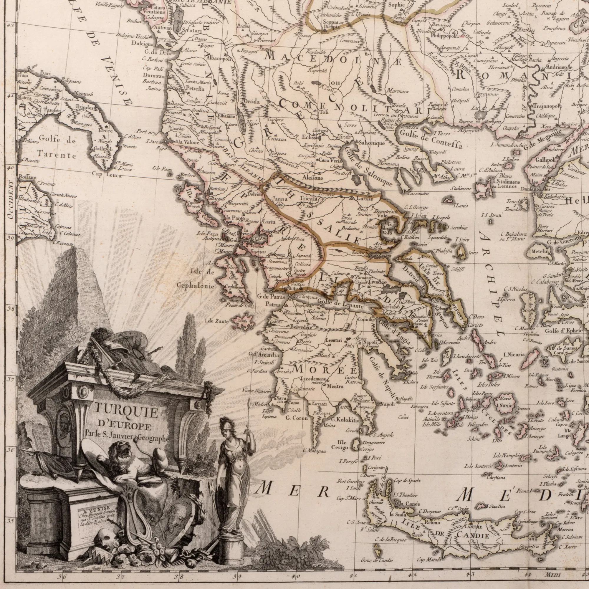
"European Turkey Map" by Jean Janvier, printed by François Santini, Venice, 1784
The photographs of the lot are for information and guidance only and cannot provide an extremely detailed view of the object from every angle. We recommend a careful physical inspection of the lot before bidding.
"European Turkey Map" by Jean Janvier, printed by François Santini, Venice, 1784
Price
EUR 250
Description
The map includes the European parts of the Ottoman Empire, encompassing Greece and the Balkan Peninsula, most of Anatolia, including Cyprus. Copper engraving manually colored after printing.
Sizing
Width 67, Height 51
Medium
copper engraving, hand-colored ribbed paper
Location
Artmark românia