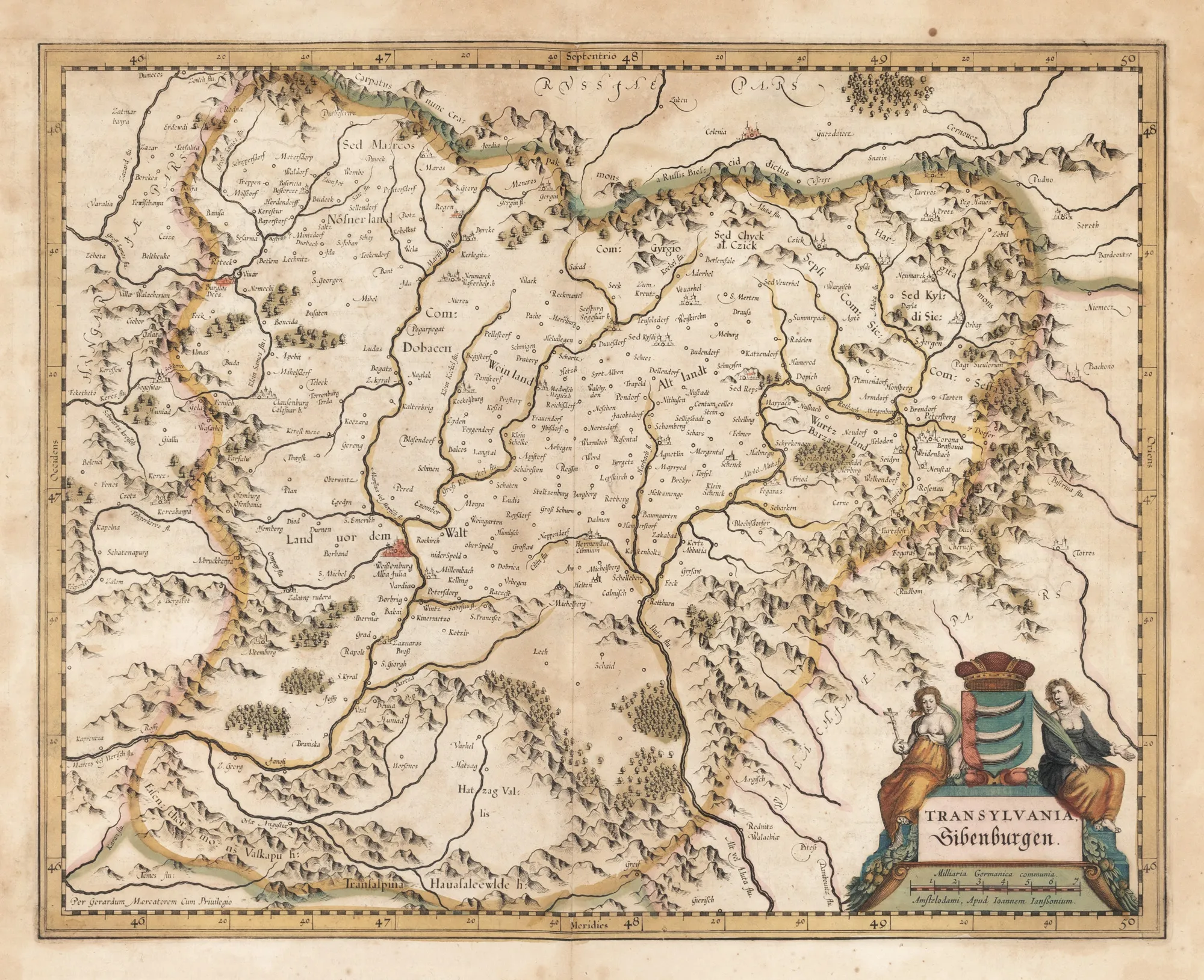
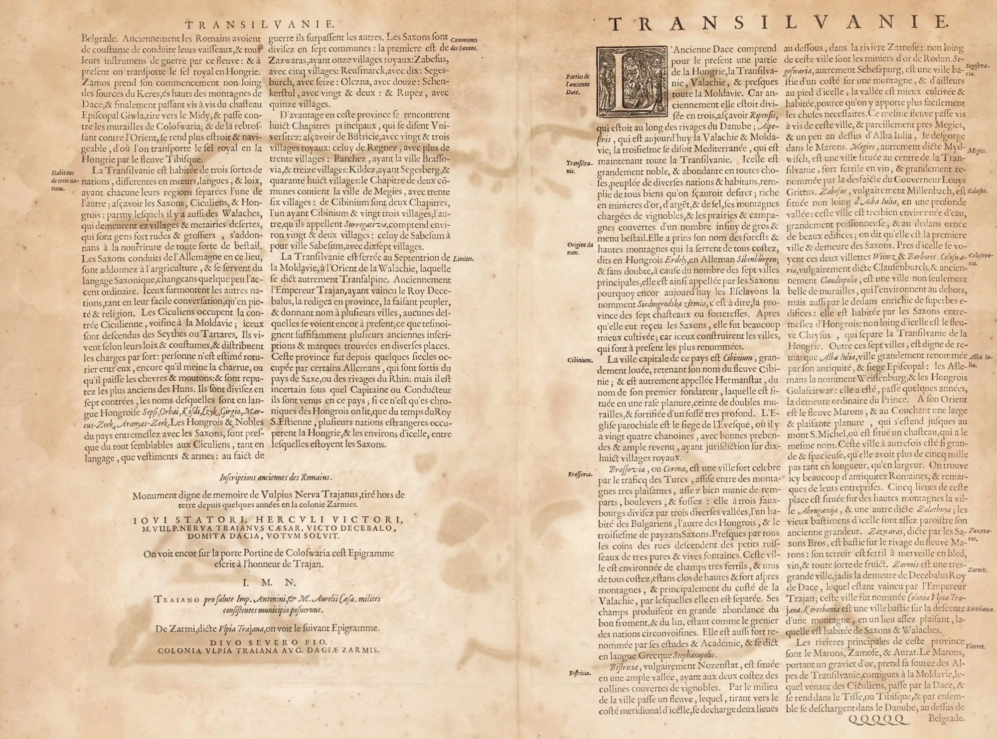
"Transylvania" Map by Willem Janszoon Blaeu, Paris, circa 1750
The photographs of the lot are for information and guidance only and cannot provide an extremely detailed view of the object from every angle. We recommend a careful physical inspection of the lot before bidding.
"Transylvania" Map by Willem Janszoon Blaeu, Paris, circa 1750
Description
The piece is a map of Transylvania, copied by Willem Janszoon Blaeu after an older creation, probably from the end of the 16th century, which belonged to Gerardus Mercator. The heraldic symbol of the Bathory family surmounts the cartouche in the lower right corner. The Blaeu family first published this map in 1634, in Amsterdam, in a German language edition. The present map is part of a French language edition that appeared in Paris in the mid-18th century. Hand-colored copper engraving after printing.
Sizing
Sizing info 46 x 56.5 cm
Medium
hand-colored copper engraving, striped paper
Location
Artmark românia