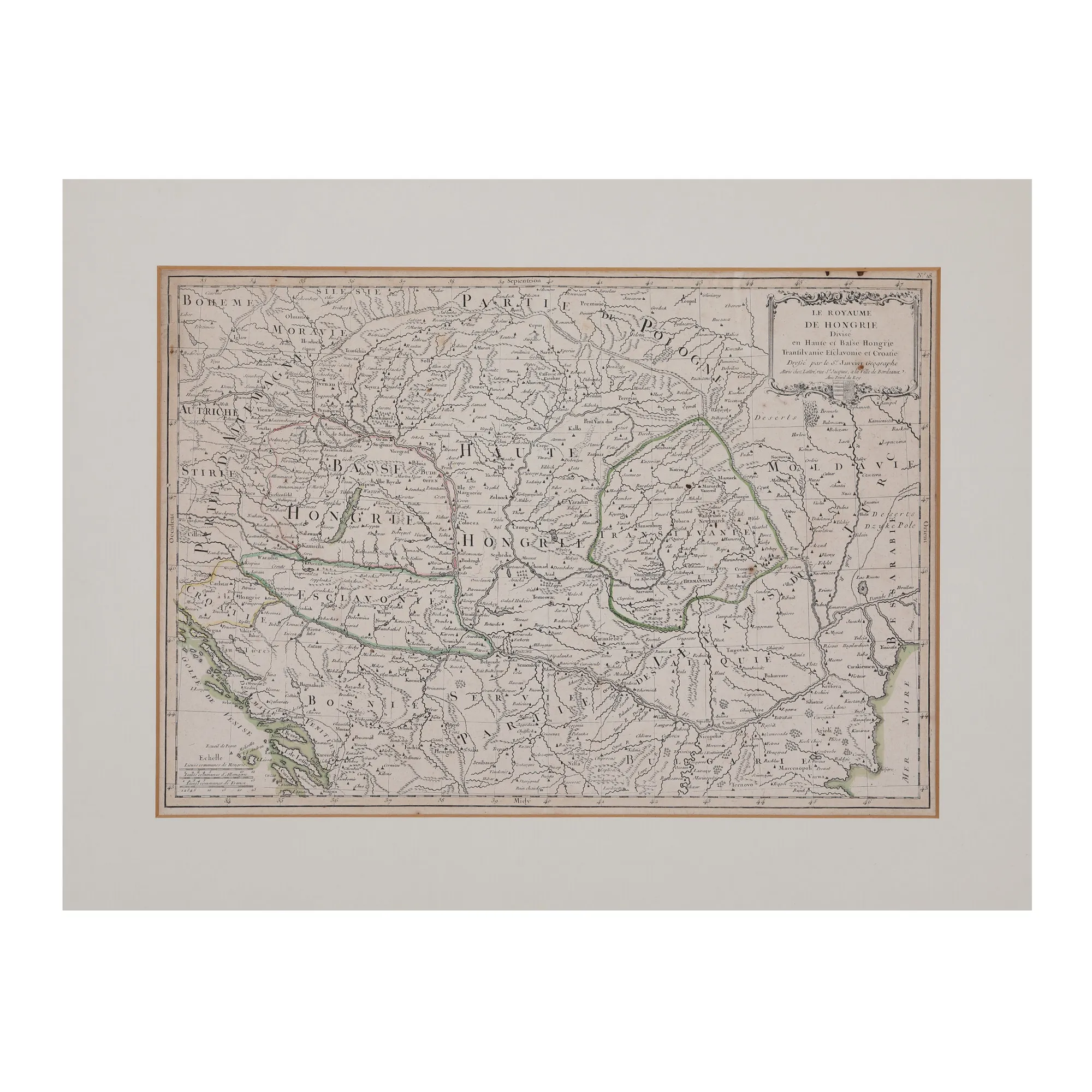
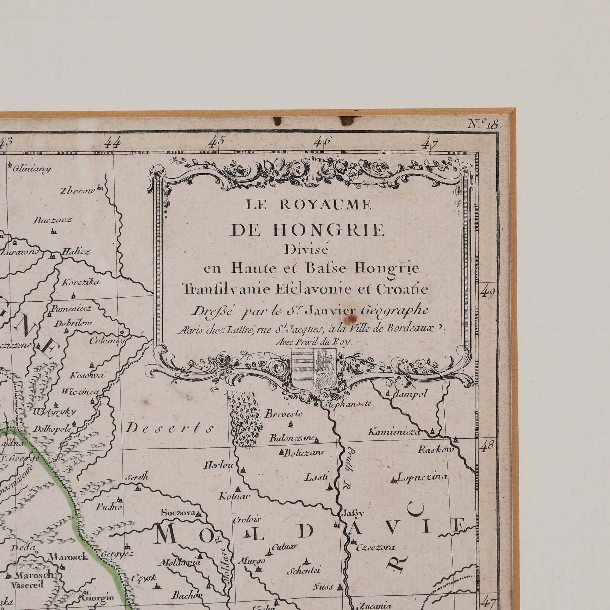
"Kingdom of Hungary divided into Upper and Lower Hungary, Transylvania, Esclavonia and Croatia" map by Jean Janvier, Paris, approximately 1780
The photographs of the lot are for information and guidance only and cannot provide an extremely detailed view of the object from every angle. We recommend a careful physical inspection of the lot before bidding.
"Kingdom of Hungary divided into Upper and Lower Hungary, Transylvania, Esclavonia and Croatia" map by Jean Janvier, Paris, approximately 1780
Description
This map is part of the work Atlas Moderne, published in 1770 in Paris by the French cartographer Jean Janvier (1746-1779). The map covers the northern and southern parts of Hungary, including Transylvania, as well as parts of Bosnia, Bulgaria, Moldova and Wallachia. Specialists have disagreed on the scholar's surname, so he is mentioned either as Jean or Robert, because he always signed his works as S(igno)r Janvier. Engraving on copper, manually coloured after imprinting.
Sizing
Width 32, Height 45, Sizing info 45 Ã 32 cm
Medium
copper engraving, laid paper, hand-coloured
Location
Artmark românia