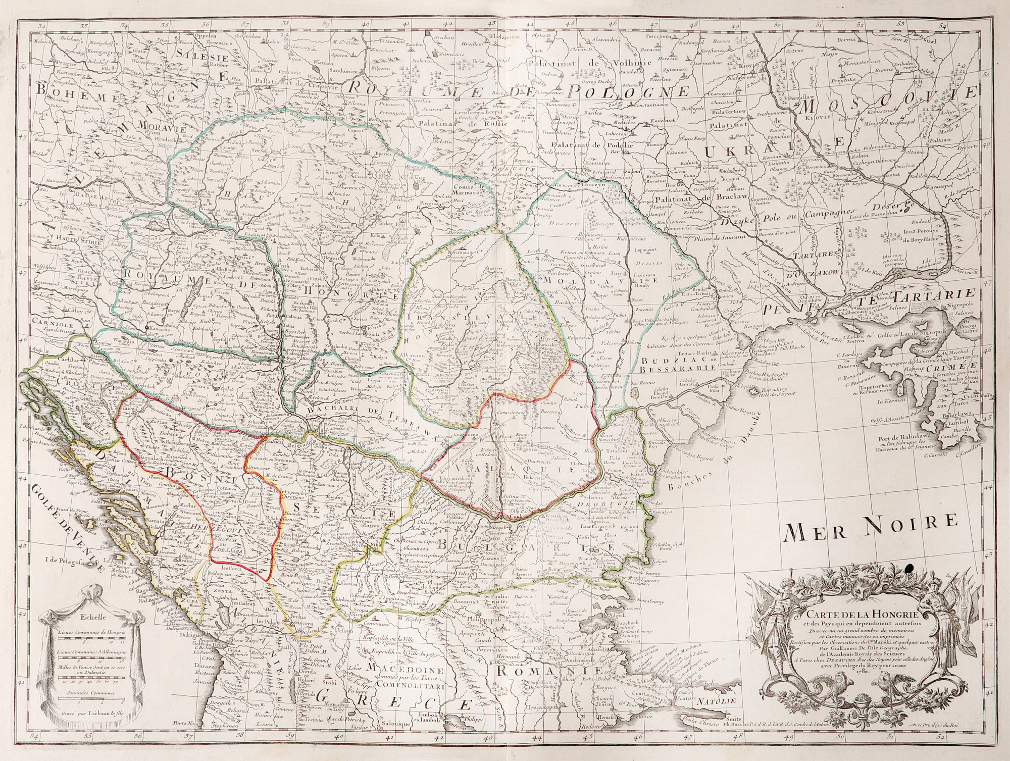
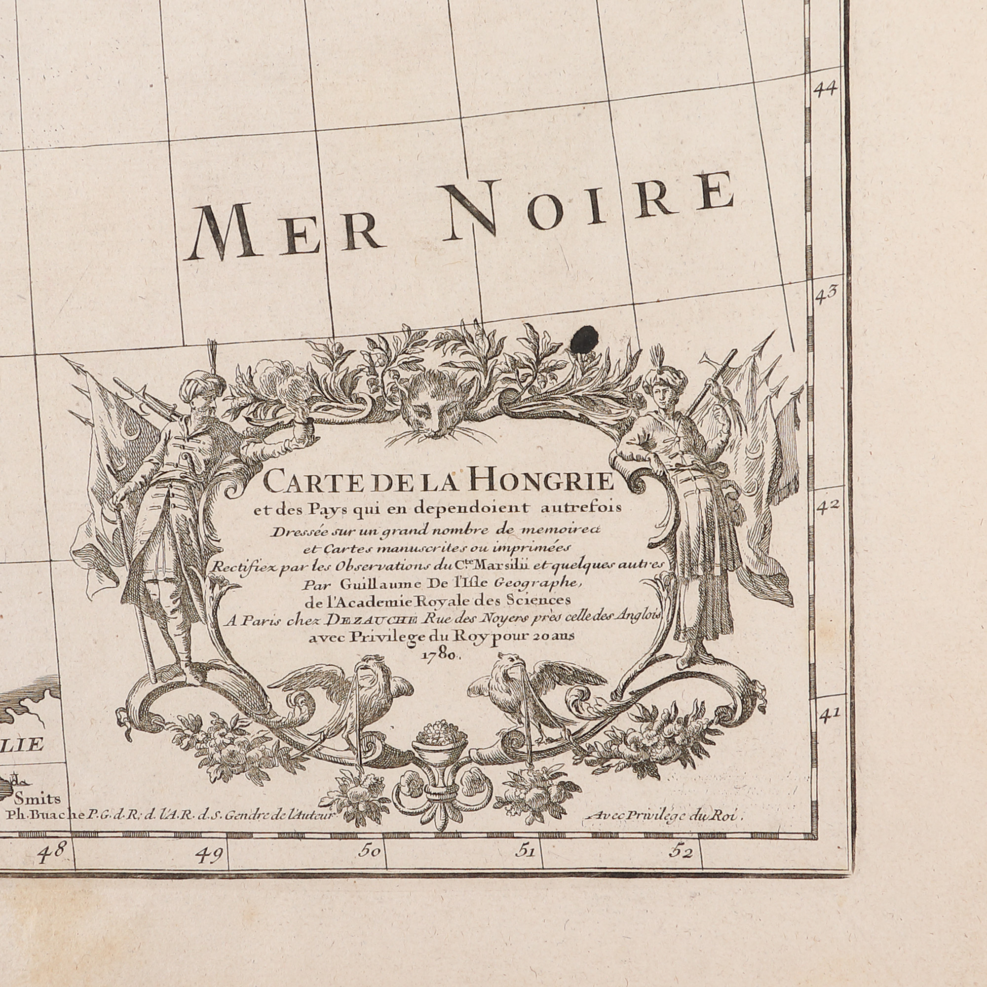
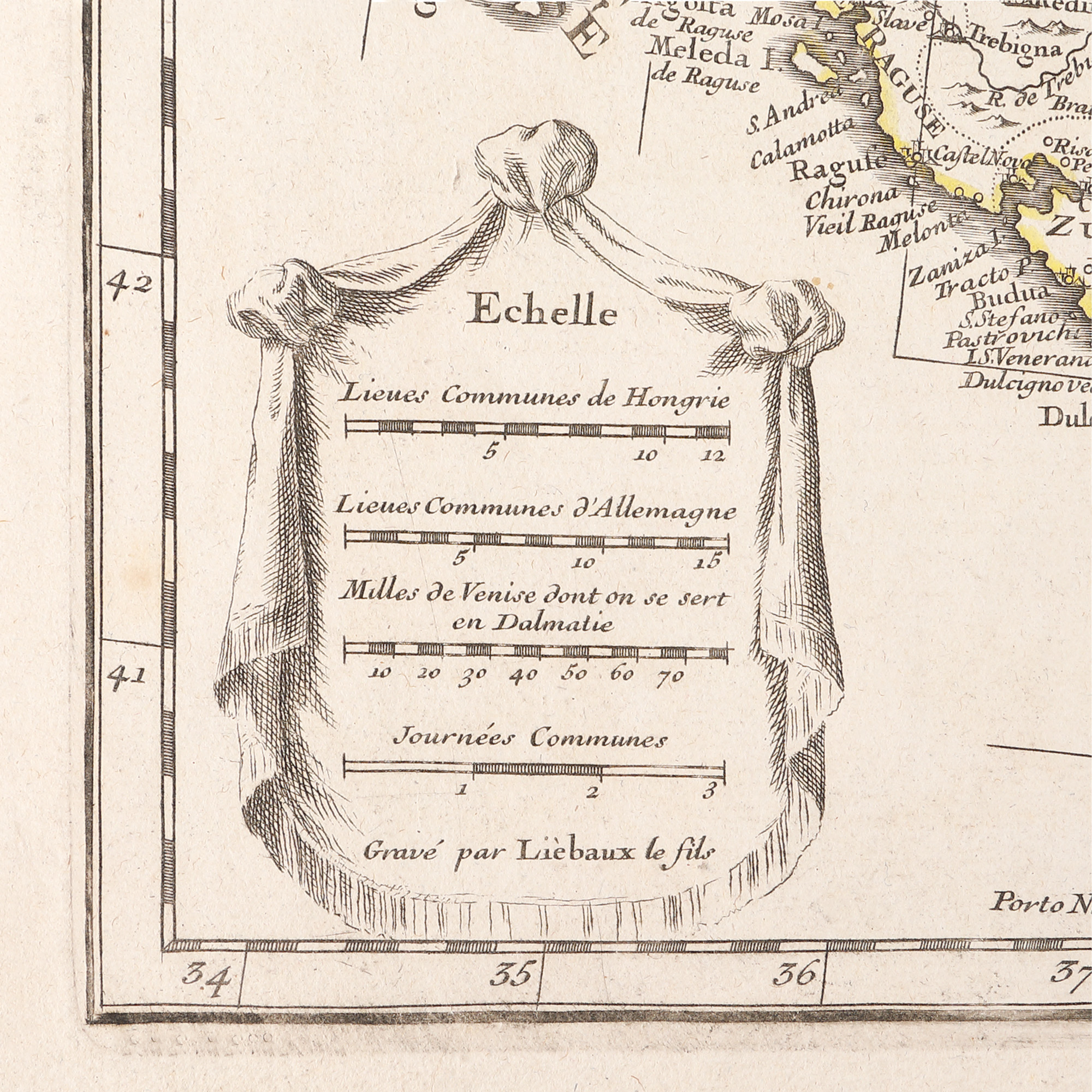
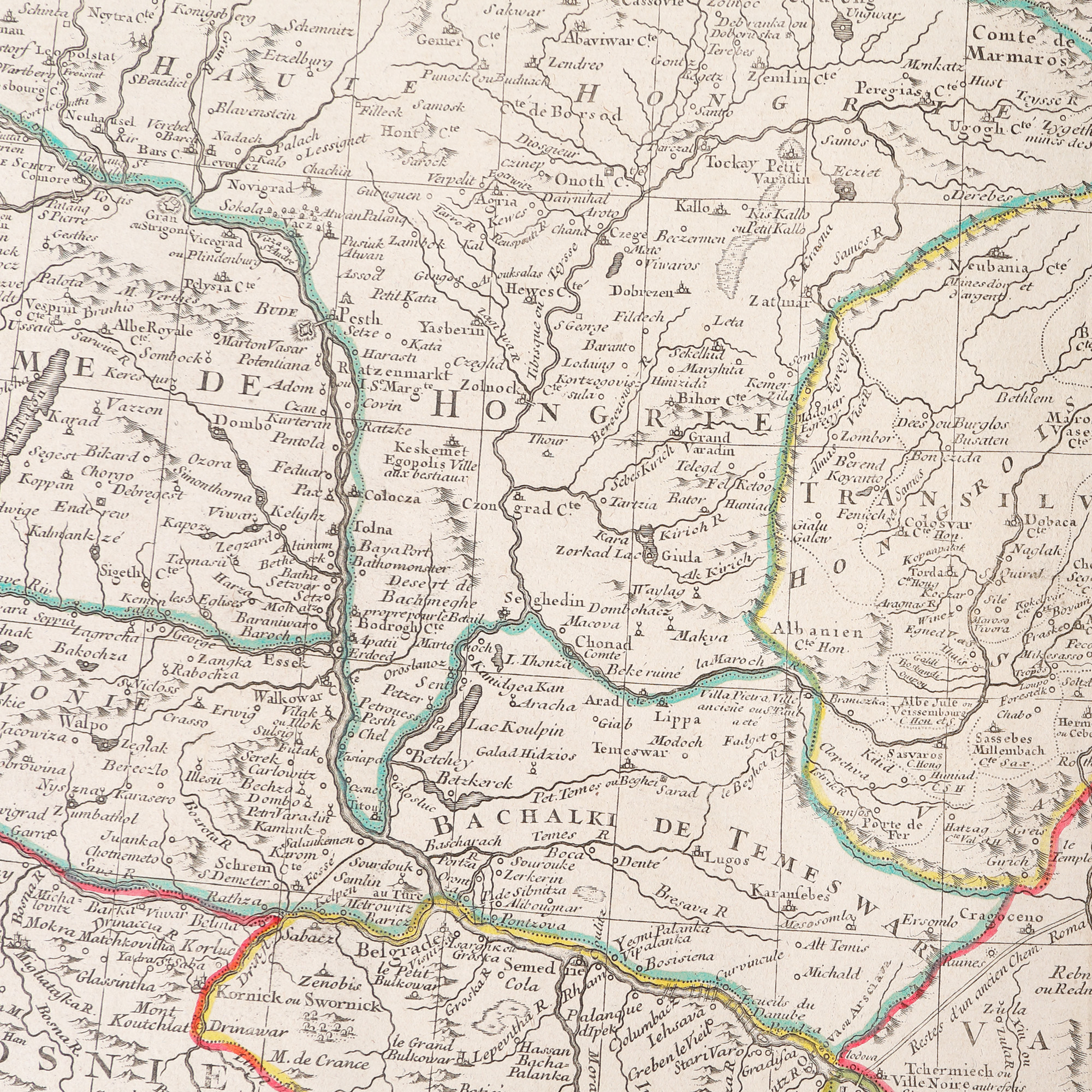
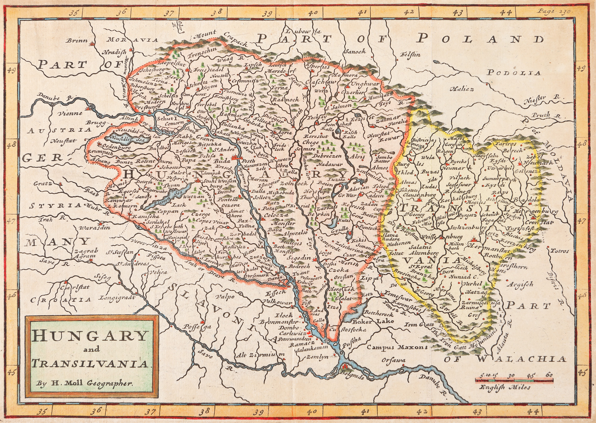
300. "Hungary" map, de Guillaume de l'Isle, Paris, 1780
Početna cijena
EUR 150
Prodano nakon aukcije
EUR 188
Sesija
Pet., 31 ožujka 2023 12:00
Dimenzije
width 75 cm, height 55 cm
Opis
copper engraving, hand-coloured laid paper
DODATNE INFORMACIJE
Za pojašnjenja u vezi s postupkom licitiranja, troškovima kupnje, uvjetima jamstva, plaćanja i preuzimanja osvojenog lota preporučujemo da pažljivo pročitate/ponovno pročitate Pravilnik o licitiranju.
Za dodatne informacije o lotu i aukciji kontaktirajte Odjel umjetničkih savjetnika.
Detalii
DODATNE INFORMACIJE
Za pojašnjenja u vezi s postupkom licitiranja, troškovima kupnje, uvjetima jamstva, plaćanja i preuzimanja osvojenog lota preporučujemo da pažljivo pročitate/ponovno pročitate Pravilnik o licitiranju.
Za dodatne informacije o lotu i aukciji kontaktirajte Odjel umjetničkih savjetnika.
Dimenzije
width 75 cm, height 55 cm
Opis
copper engraving, hand-coloured laid paper
Alternativni lotovi

307. "Sicily" map by Abraham Ortelius, Orbis Terrarum edition, Antwerp, 1624