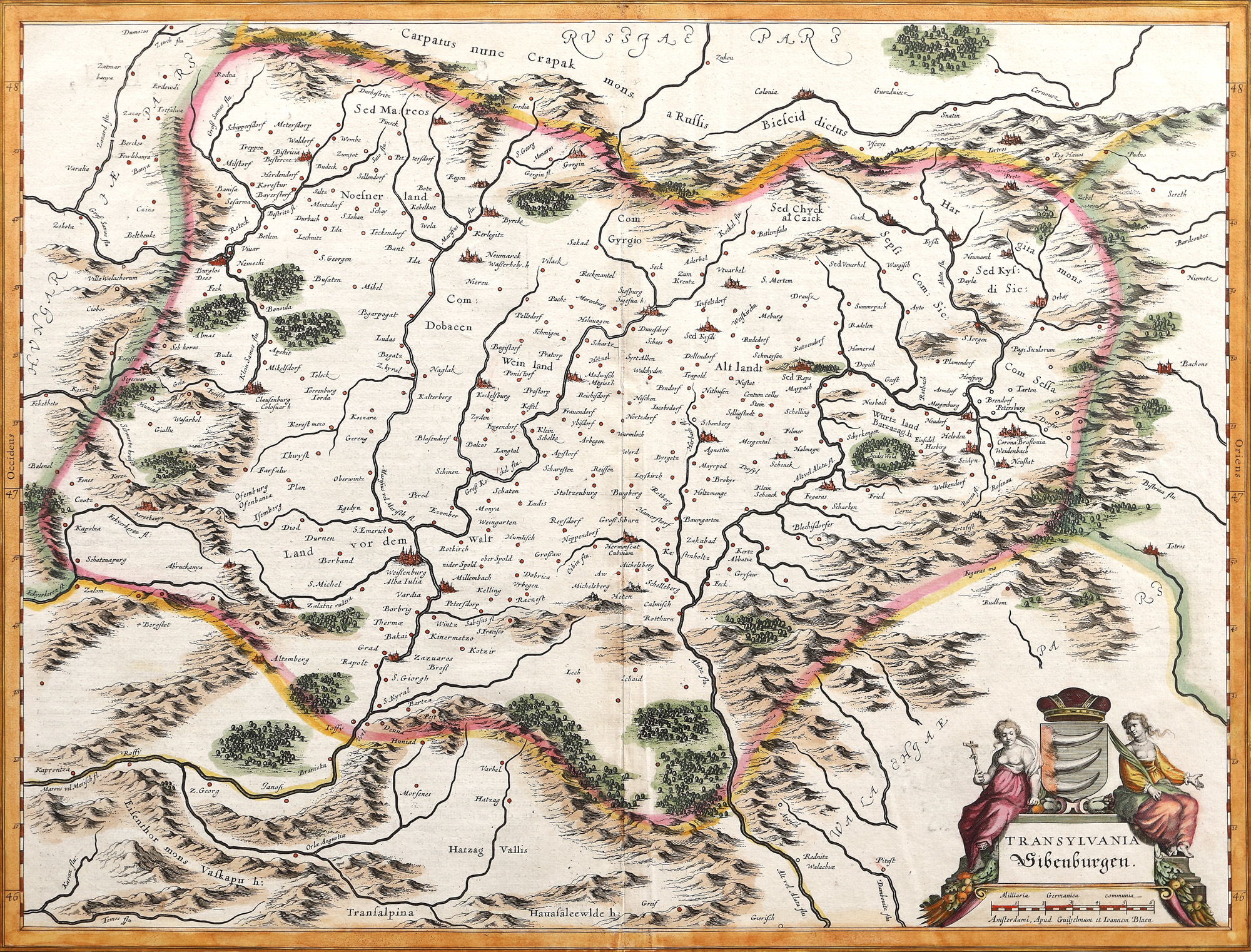
33. Map "Transylvania", by Willem Janszoon Blaeu, Amsterdam, 1636
Početna cijena
EUR 490
Prodano
EUR 1.200
Sesija
Uto., 5 travnja 2022 19:00
Dimenzije
width 49.5 cm, height 38 cm
Opis
copper engraving, laid paper, hand-coloured
Informacije o istraživanju
Novus Atlas edition.
DODATNE INFORMACIJE
Za pojašnjenja u vezi s postupkom licitiranja, troškovima kupnje, uvjetima jamstva, plaćanja i preuzimanja osvojenog lota preporučujemo da pažljivo pročitate/ponovno pročitate Pravilnik o licitiranju.
Za dodatne informacije o lotu i aukciji kontaktirajte Odjel umjetničkih savjetnika.
Detalii
DODATNE INFORMACIJE
Za pojašnjenja u vezi s postupkom licitiranja, troškovima kupnje, uvjetima jamstva, plaćanja i preuzimanja osvojenog lota preporučujemo da pažljivo pročitate/ponovno pročitate Pravilnik o licitiranju.
Za dodatne informacije o lotu i aukciji kontaktirajte Odjel umjetničkih savjetnika.
Dimenzije
width 49.5 cm, height 38 cm
Opis
copper engraving, laid paper, hand-coloured
Informacije o istraživanju
Novus Atlas edition.
Alternativni lotovi
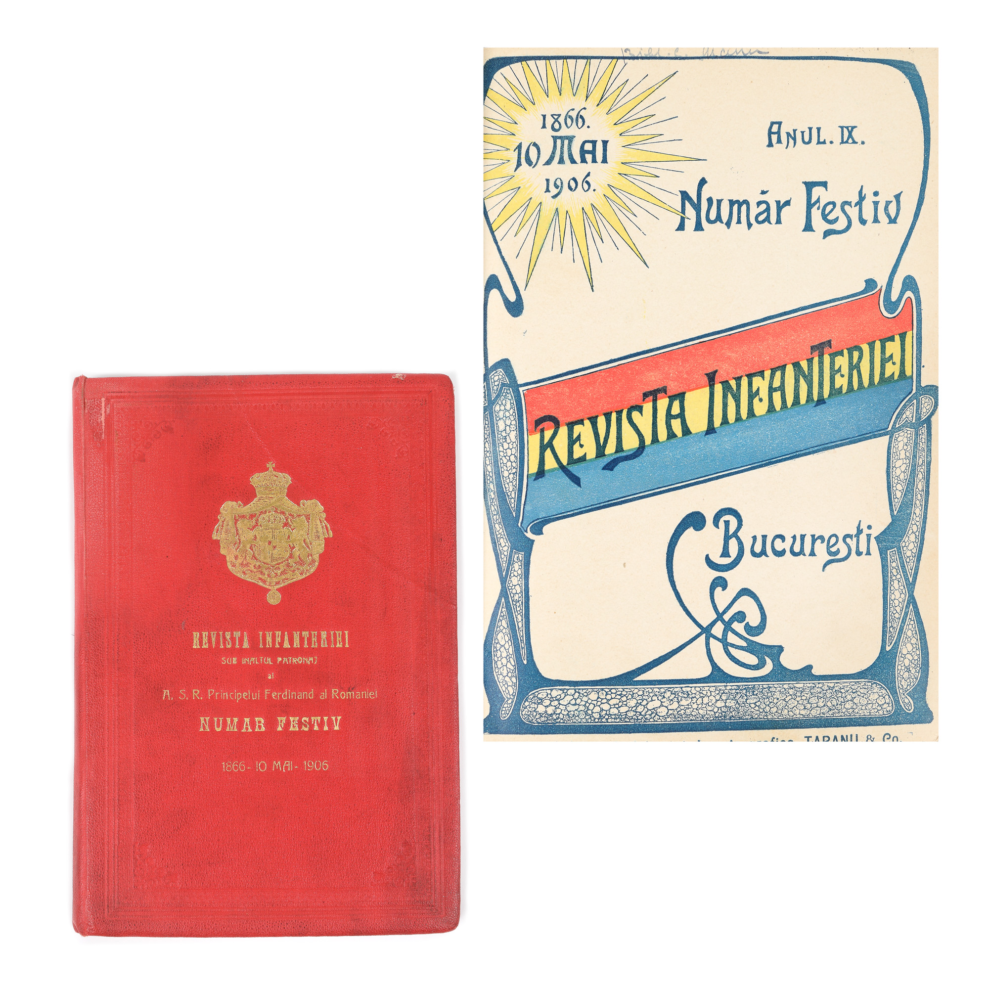
193. "Revista infanteriei", jubilee issue, Bucharest, May 10, 1906
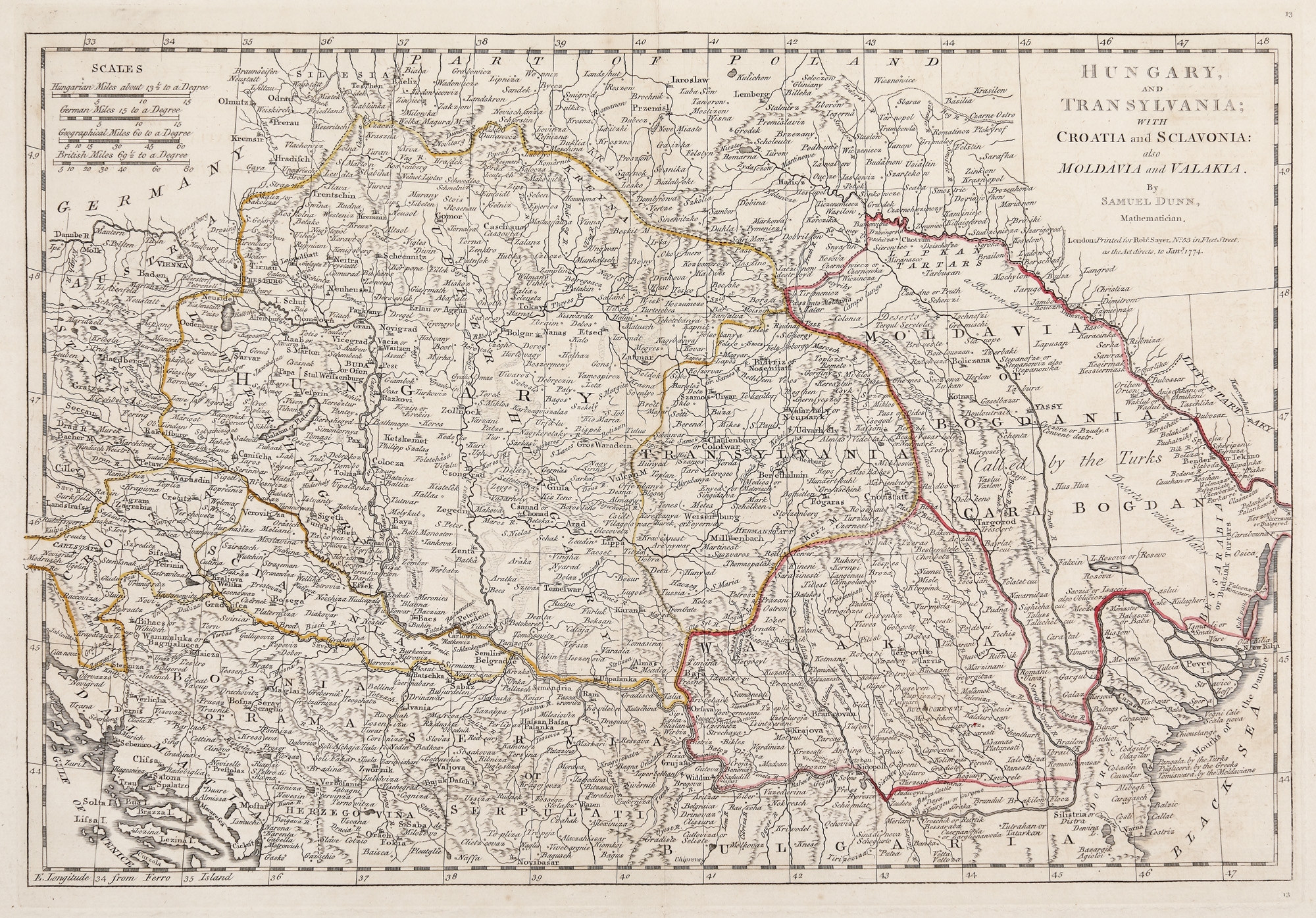
65. Map "Hungary, Transylvania, Croatia, Slovakia, Moldavia and Wallachia", by Samuel Dunn, London, 1774