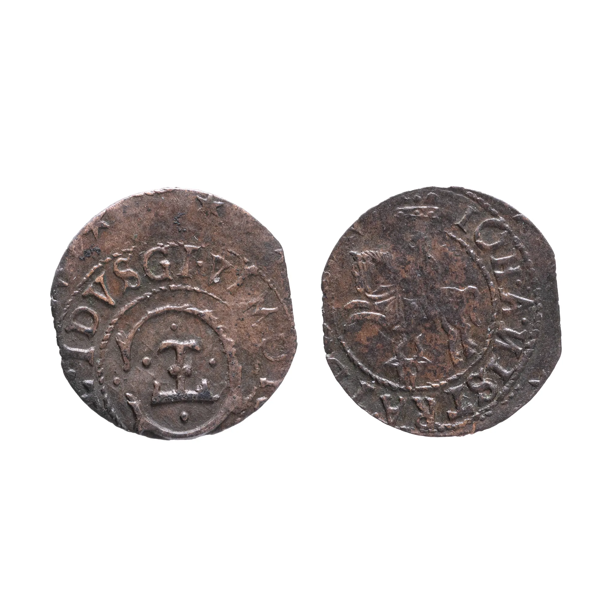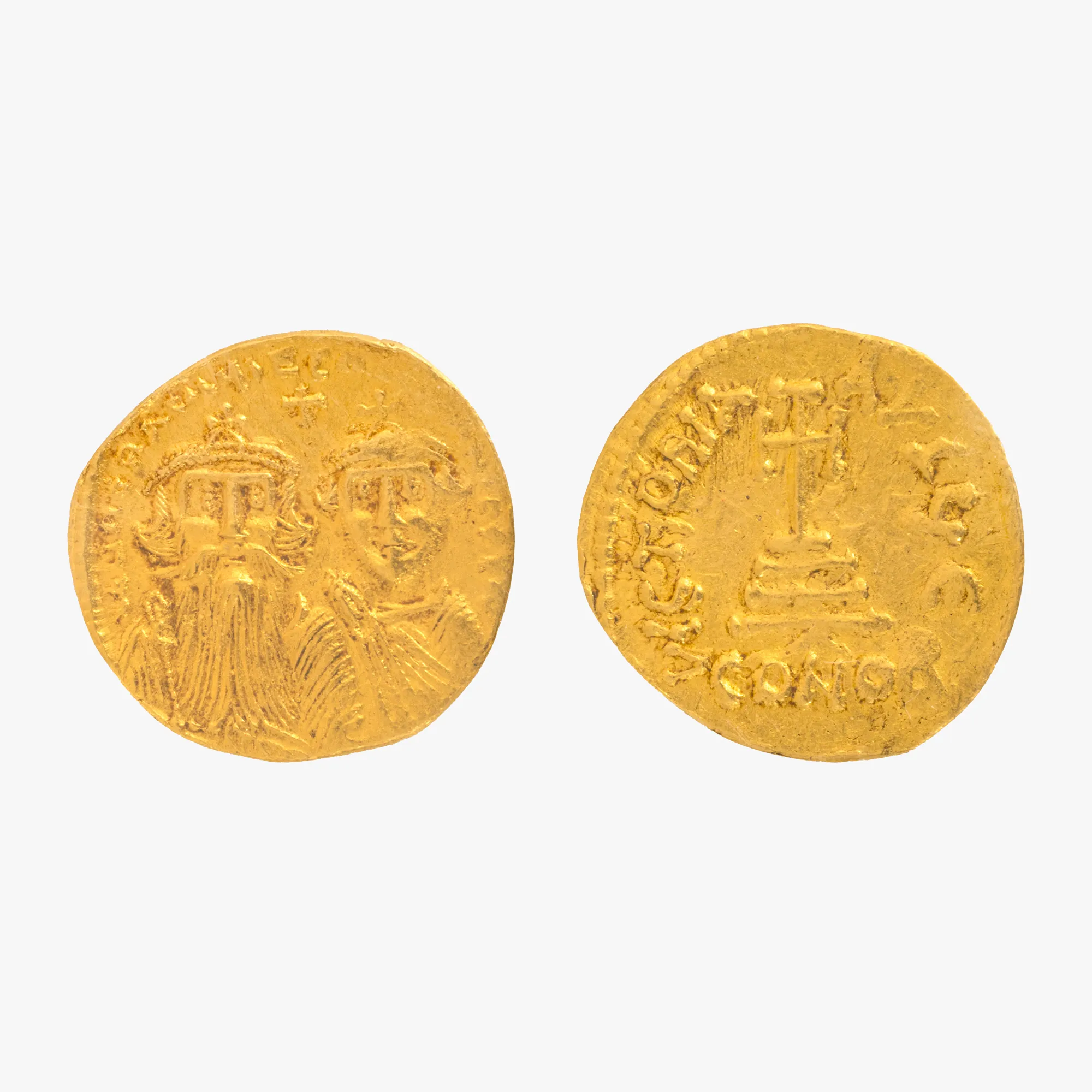

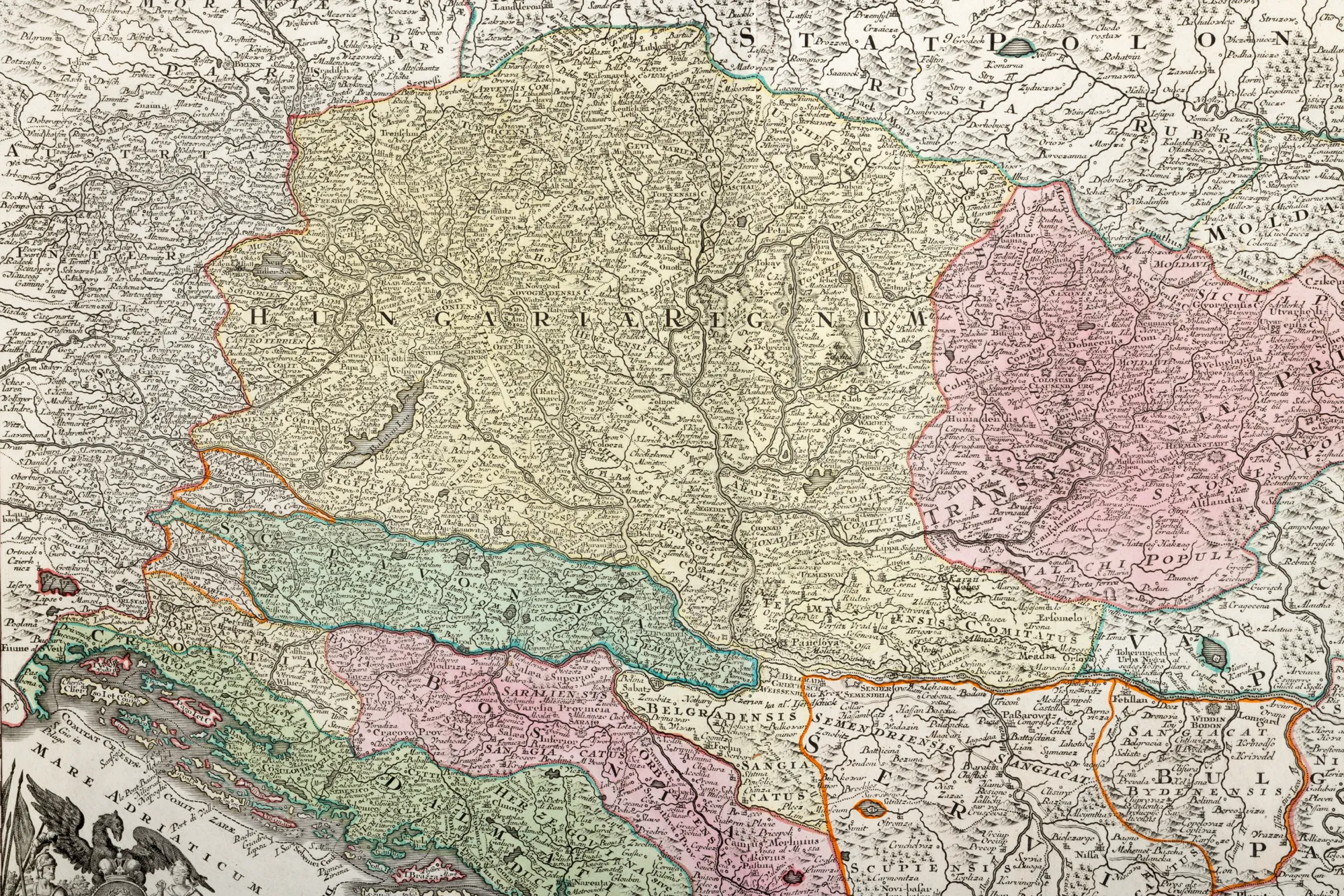
"Map 'Hungary', by Matthäus Seutter, Augsburg, cca. 1750"
Fotografije lota su informativne i orijentacijske te ne mogu pružiti izuzetno detaljan prikaz predmeta iz svih kutova. Preporučujemo pažljiv fizički pregled lota prije licitiranja.
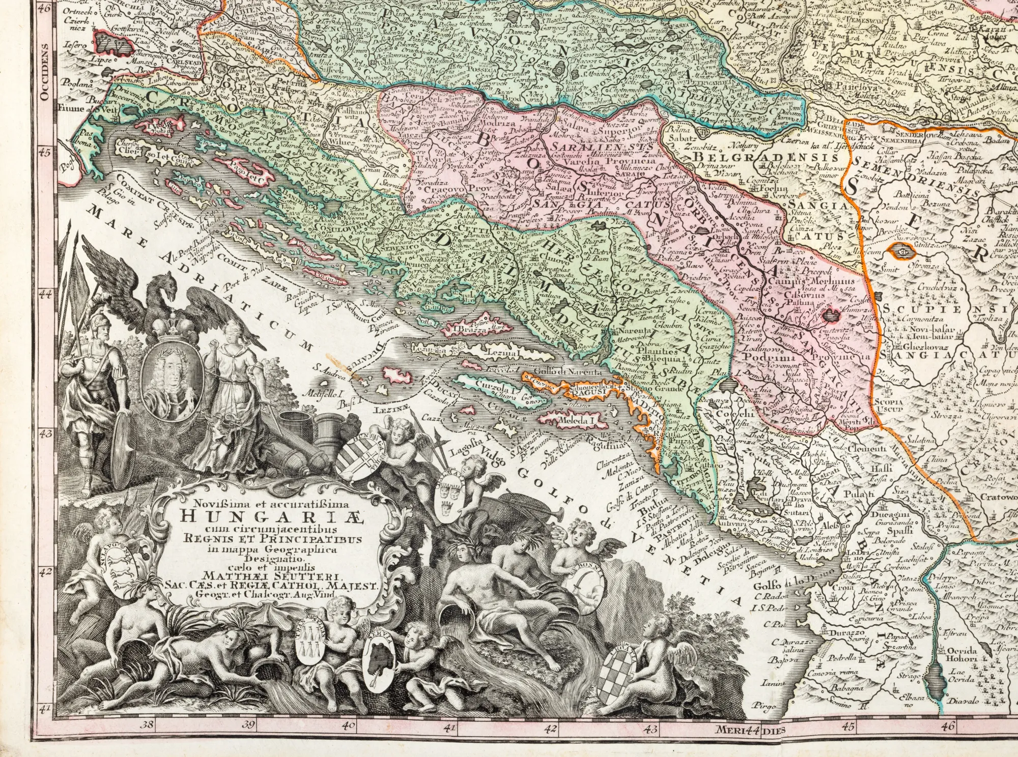
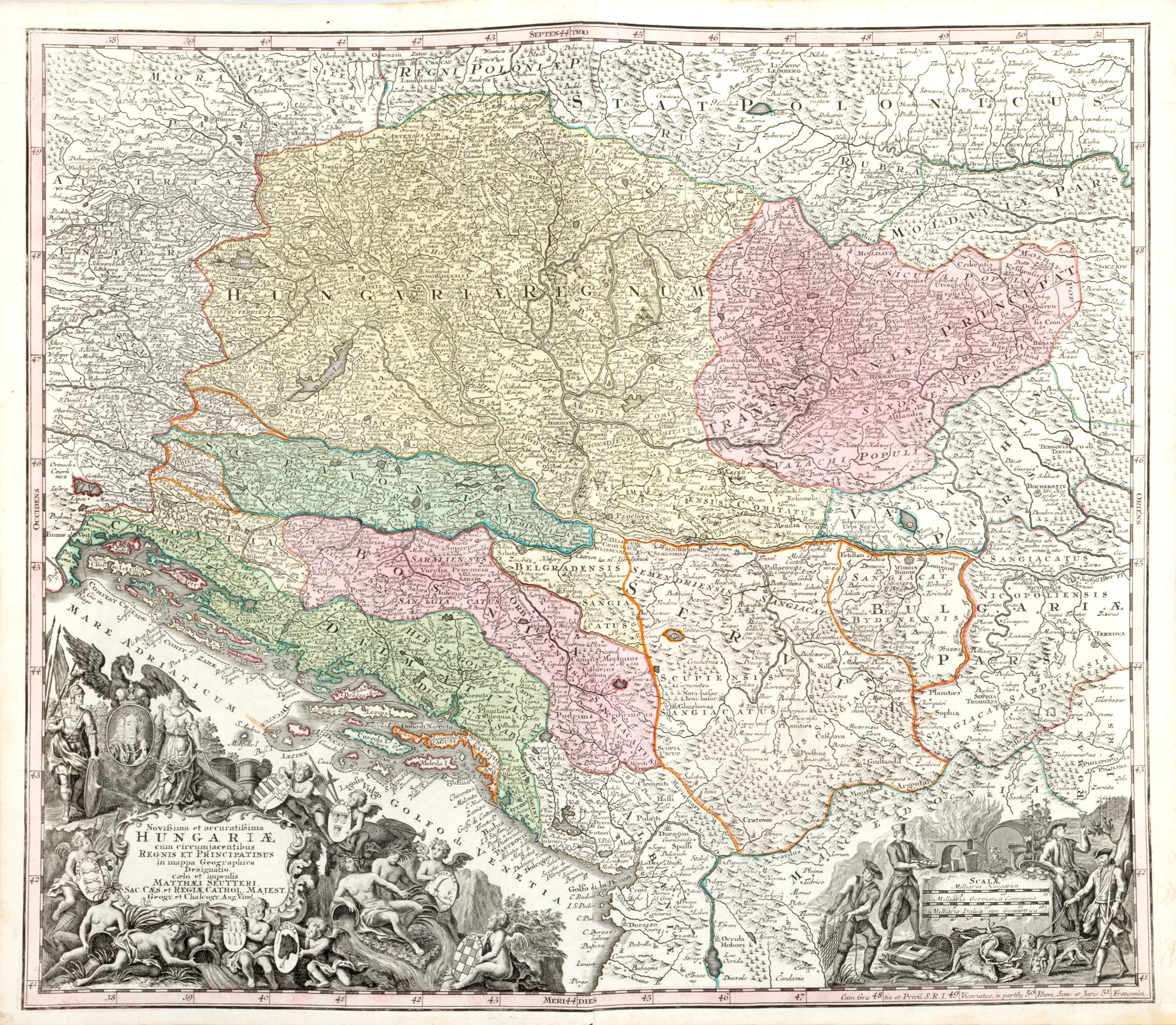
"Map 'Hungary', by Matthäus Seutter, Augsburg, cca. 1750"
Cijena
EUR 375
Opis
The German cartographer Matthäus Seutter (1678-1757) published his main work Atlas Novus Sive Tabulae Geographicae in Augsburg, in two volumes released around the year 1730. The copy is part of a slightly later edition. In the lower plan, two rich cartridges made in the form of allegories decorate the panel. Copper engraving manually colored after printing.
Dimenzioniranje
Širina 60, Visina 53
Materijal
copper engraving, striated paper, hand-colored
Lokacija
Artmark românia