
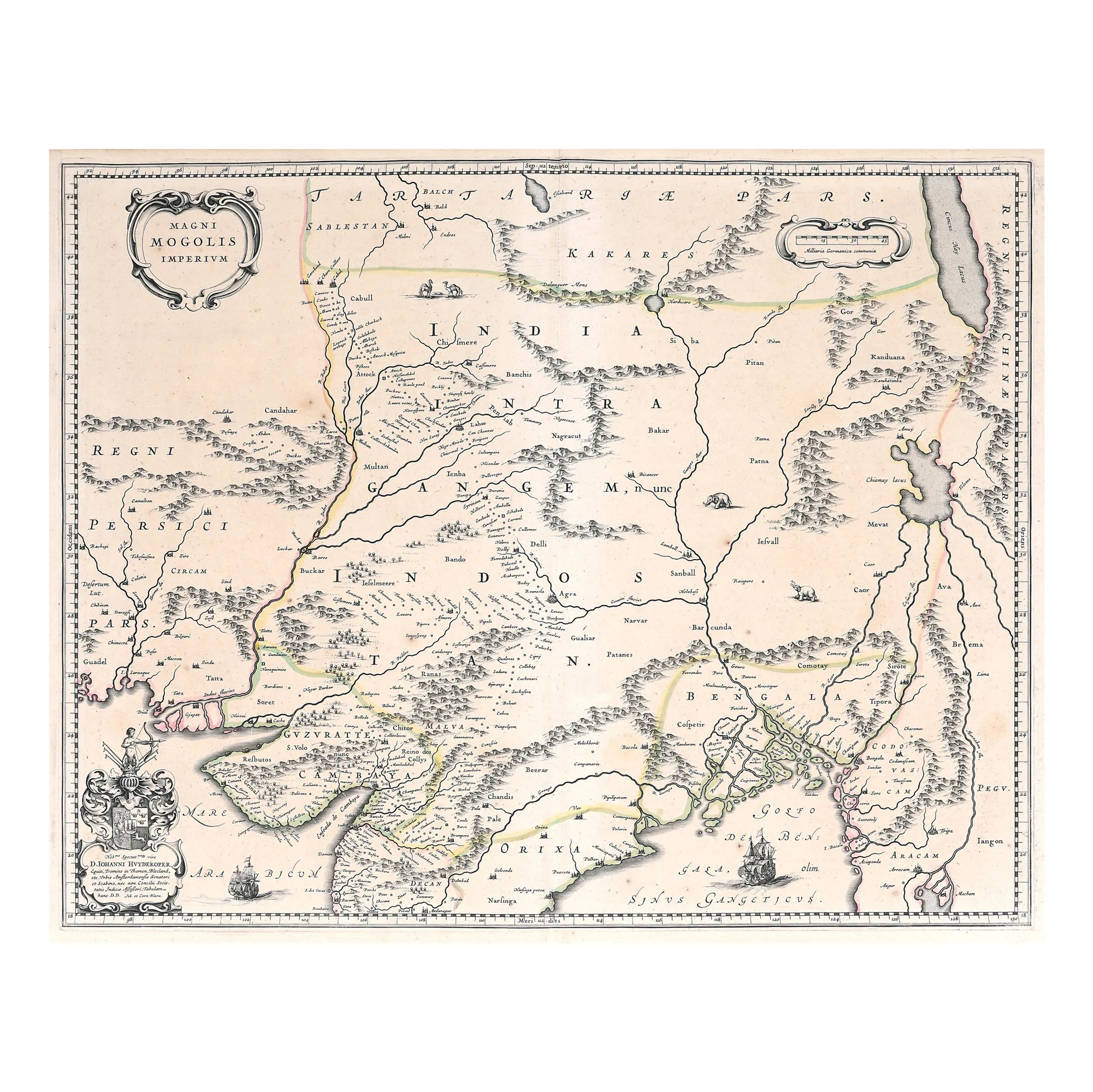
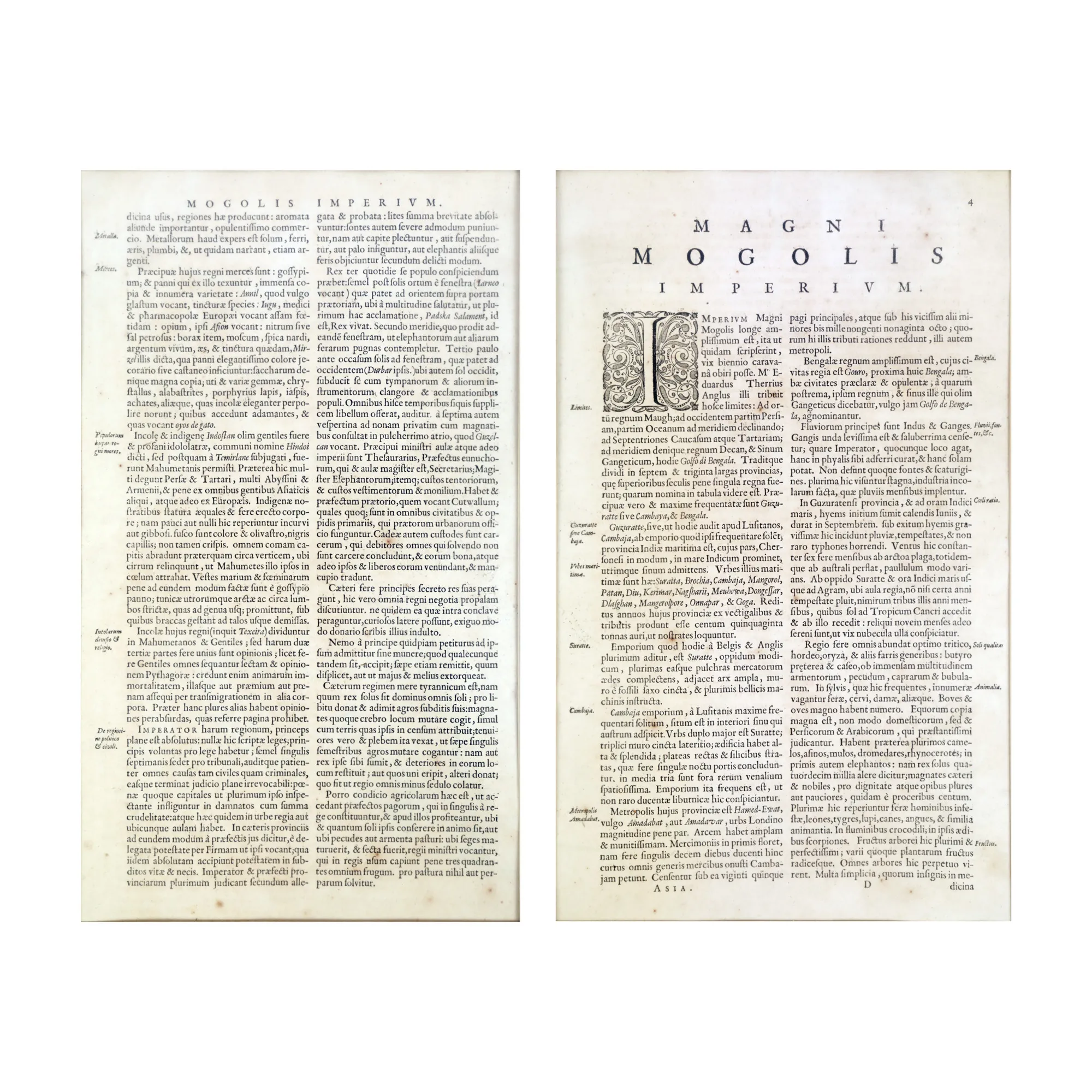
"Map 'Mogul Empire', by Joan Blaeu and Cornelis Blaeu, Amsterdam, 1640"
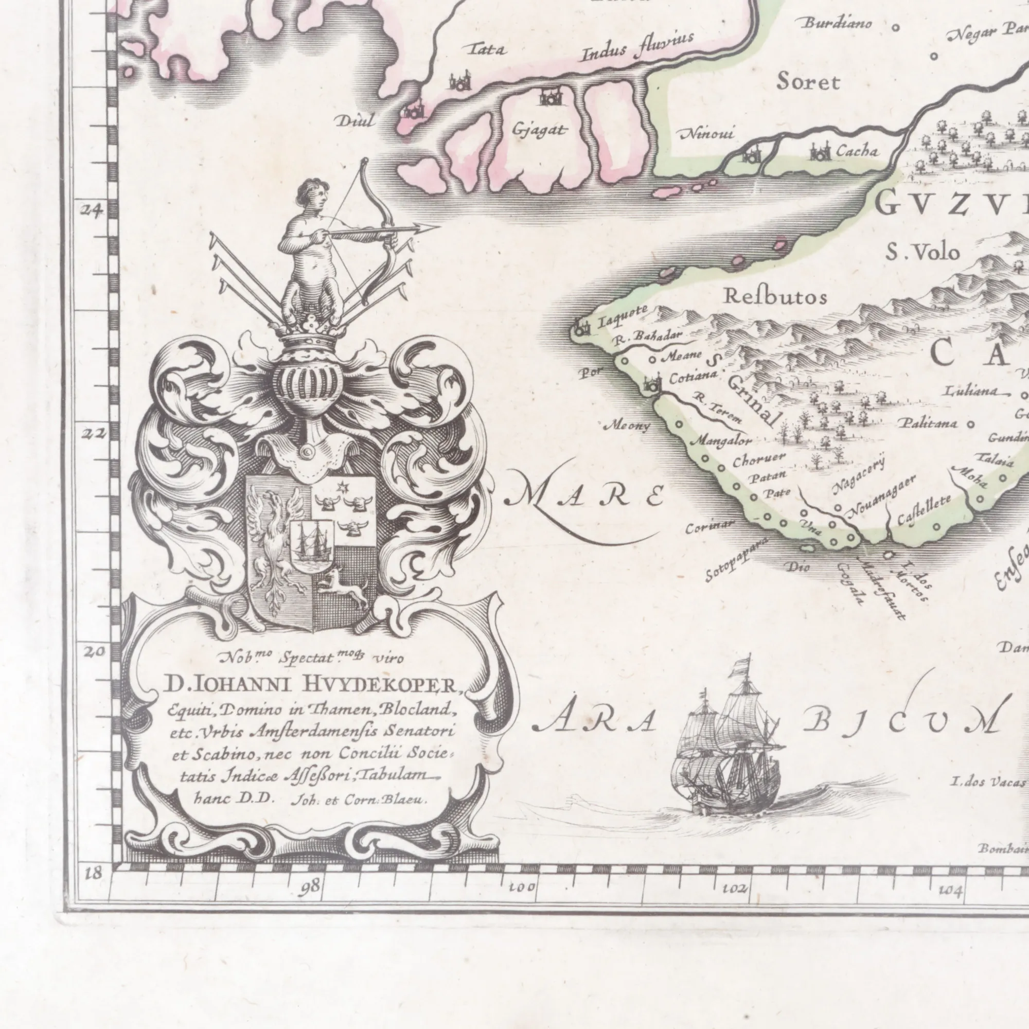
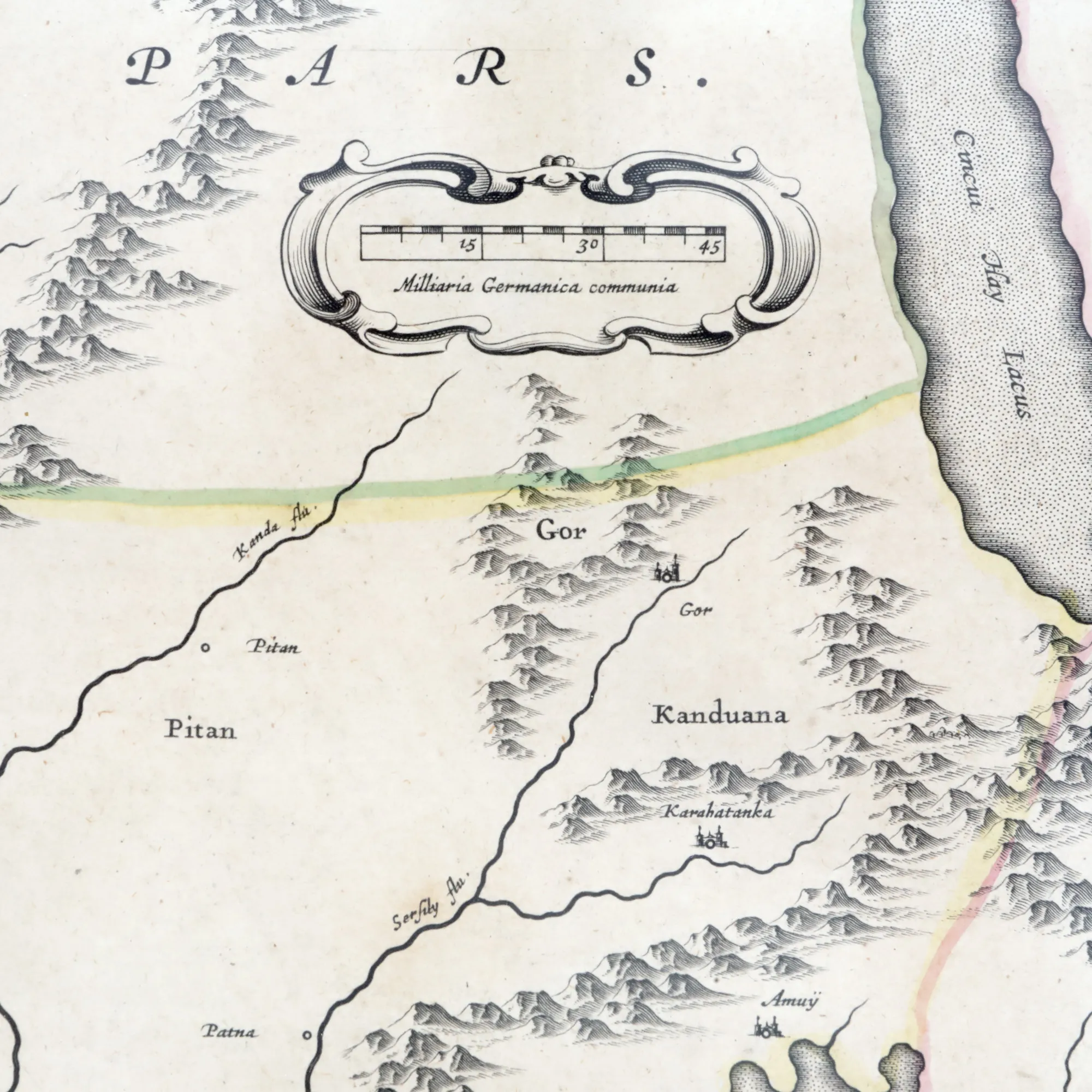
Fotografije lota su informativne i orijentacijske te ne mogu pružiti izuzetno detaljan prikaz predmeta iz svih kutova. Preporučujemo pažljiv fizički pregled lota prije licitiranja.
"Map 'Mogul Empire', by Joan Blaeu and Cornelis Blaeu, Amsterdam, 1640"
Opis
The map is the first widely accepted accurate representation of Northern India, covering from Pakistan, Afghanistan, and Bangladesh to the Himalayas and Tartary. It can be considered a testament to the work of English adventurer William Baffin, based on information provided by Sir Thomas Roe, the first English ambassador to the Mughal Empire. It corrects long-standing inaccuracies prevalent in previous maps, offering a revolutionary depiction of the region's geography. Notably, it accurately positions the entry of the Indus River into the Arabian Sea and improves the portrayal of the Ganges River, showing a level of planimetric precision unprecedented for its time. Beyond its cartographic and artistic merits, "Magni Mogolis Imperium" stands out for its detailed representation of legendary cities located along major trade routes. This map not only accurately depicts the Ganges and Indus rivers but also precisely marks historic cities such as Kathmandu, Kabul, Agra, Delhi, and Lahore, key points on trade and cultural exchange routes. Each city is depicted with a level of detail that highlights its importance within the empire as well as its role in the vast network of global trade during that era. By capturing these vital nodes, "Magni Mogolis Imperium" serves as a window into the vibrant past of commerce
Dimenzioniranje
Informacije o dimenzijama 53 x 60 cm
Materijal
copper engraving, striped paper
Lokacija
Artmark românia