
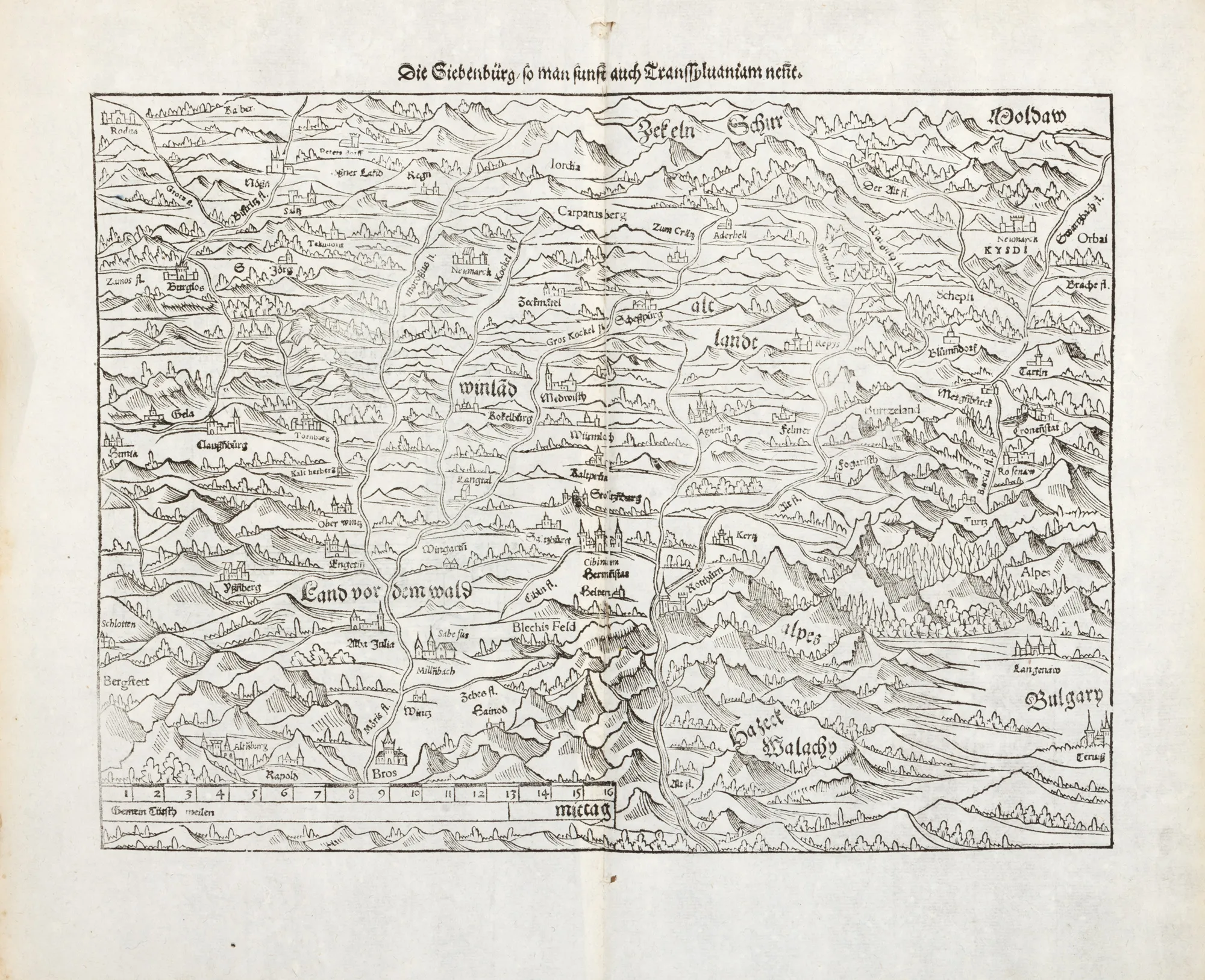
"Transylvania" Map, by Sebastian Münster, Basel, 1578, rare piece
Fotografije lota su informativne i orijentacijske te ne mogu pružiti izuzetno detaljan prikaz predmeta iz svih kutova. Preporučujemo pažljiv fizički pregled lota prije licitiranja.
"Transylvania" Map, by Sebastian Münster, Basel, 1578, rare piece
Opis
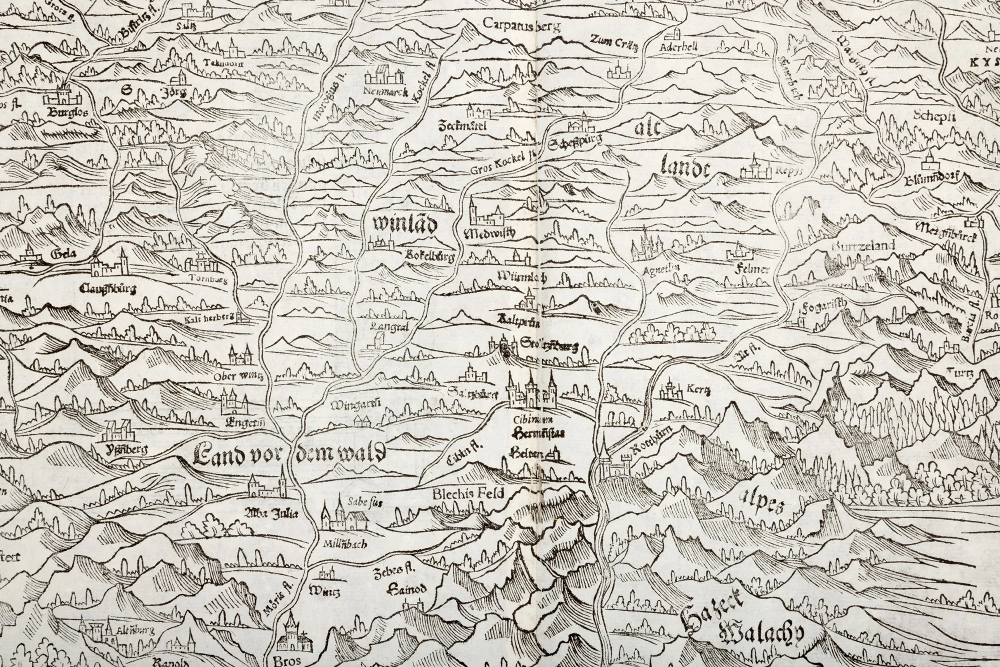
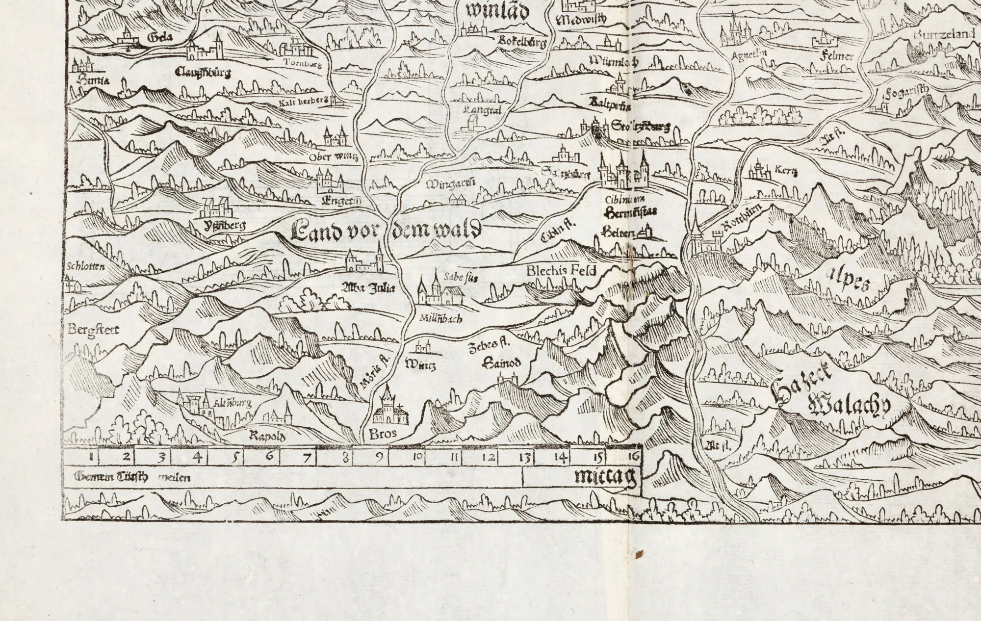
Map of Transylvania and adjoining regions, inspired by the work of the Saxon humanist Johannes Honterus from 1532. It is part of the "Cosmography" atlas first made in 1544 by the German cartographer Sebastian Münster (1489-1552). This copy is part of the second Swiss edition of the work published in Basel by the publisher Heinrich Petri in 1578. In the upper right is positioned Moldaw, at the bottom Hatzeck Walachien, and in the lower register, on the right, is mentioned Bulgary. The juxtaposition of Hațeg and Wallachia can be explained by ethnic criteria. The territory of Transylvania is represented within the Carpathian chain and is divided into five countries/regions mentioned in German: Winlad, Altlandt (Old Country), Burtzeland (Bârsa Country), Land vor dem Wald (Country before the Forest) and Zekeln Schur. The external borders with neighboring countries and those between the constituent regions are not drawn. The localities Alba lulia/Weisnburg, Bras, Sabesus, Millnbach, Hermanstat, Cibinum, Rotthurn (Red Tower), Fogaristh, Agnetlin, Felmer, Repys Terz, Rosenow, Cronstat (Brașov), Neumarck/Kysai are mentioned, many of them marked with miniature fortresses.
Dimenzioniranje
Informacije o dimenzijama 34 x 42 cm
Materijal
woodcut, laid paper
Lokacija
Artmark românia