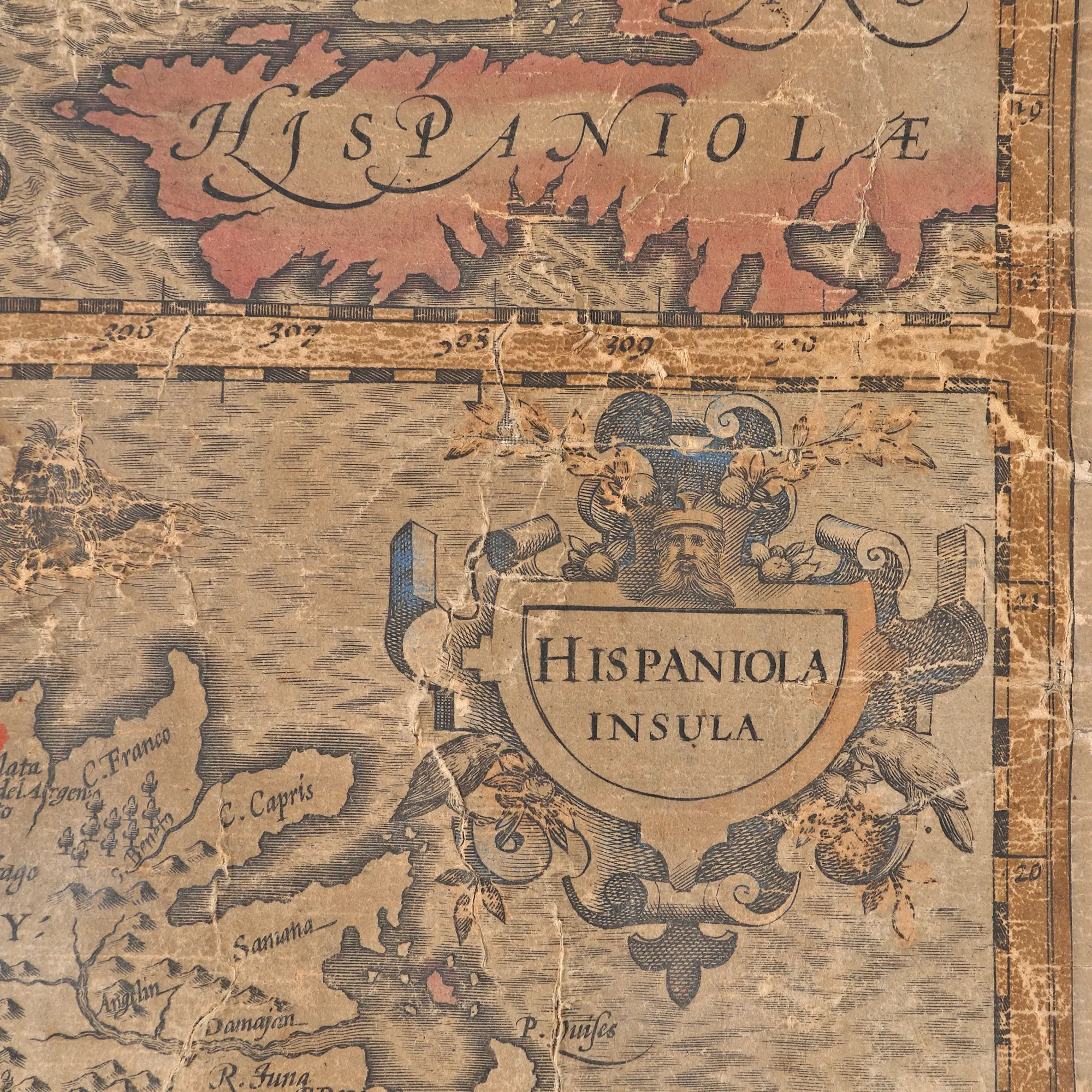
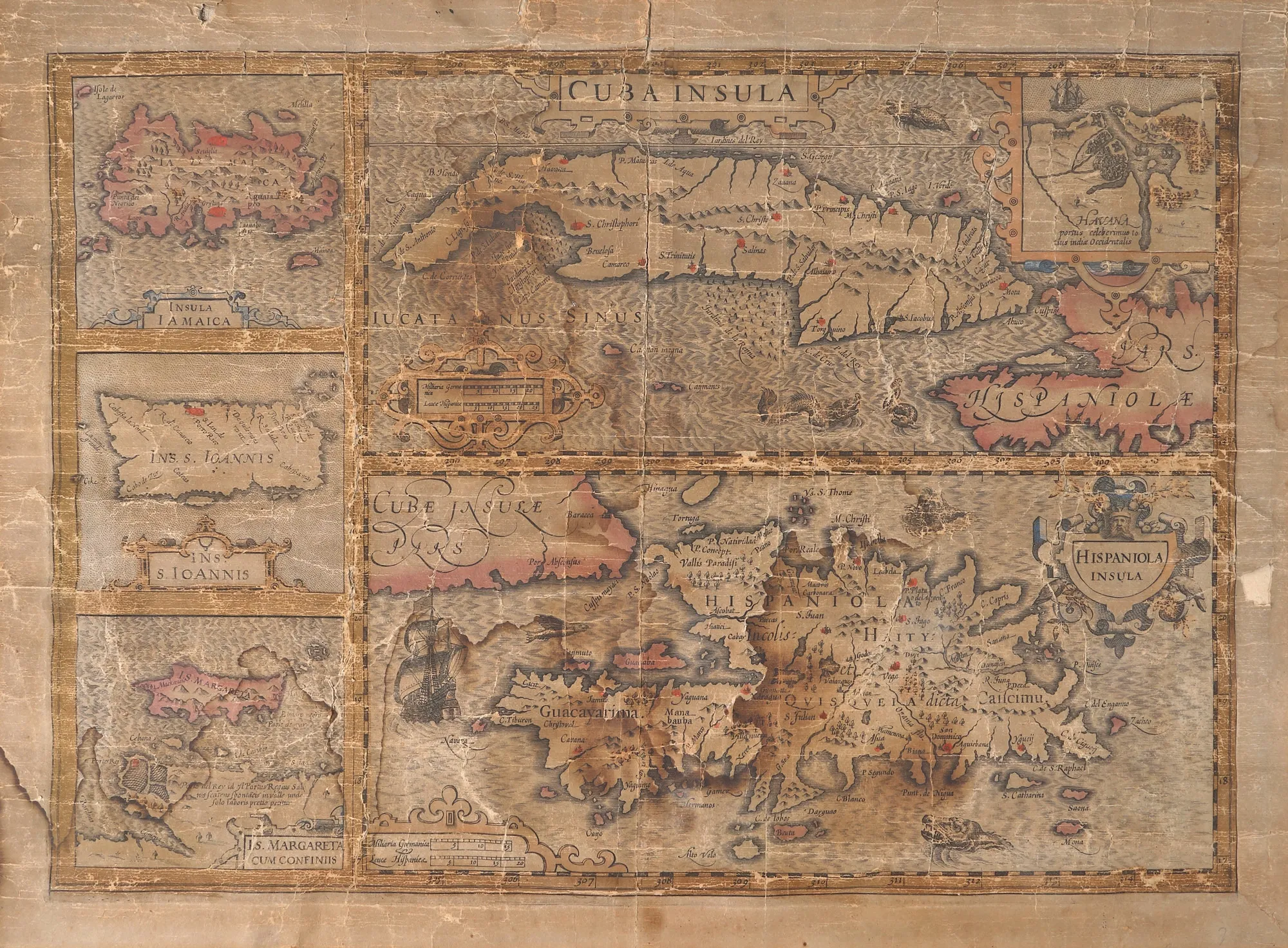
"Greater Antilles. The islands of Cuba, Hispaniola, Jamaica, St. John (Puerto Rico), Margaret (West Indies)" map by Gerardus Mercator, 1569, published by Hendrik Hondius II, Amsterdam, 1633
Fotografije lota su informativne i orijentacijske te ne mogu pružiti izuzetno detaljan prikaz predmeta iz svih kutova. Preporučujemo pažljiv fizički pregled lota prije licitiranja.
"Greater Antilles. The islands of Cuba, Hispaniola, Jamaica, St. John (Puerto Rico), Margaret (West Indies)" map by Gerardus Mercator, 1569, published by Hendrik Hondius II, Amsterdam, 1633
Opis
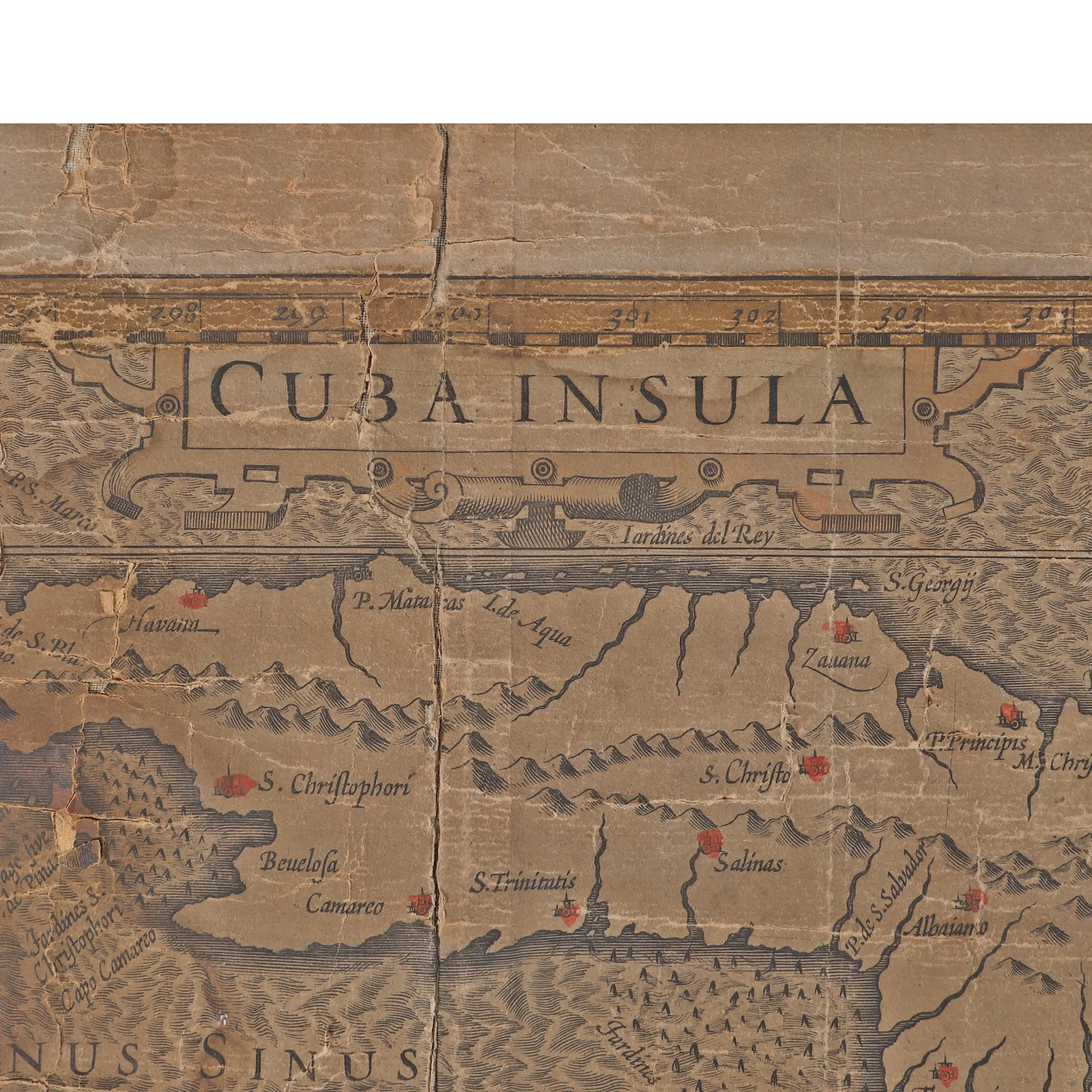
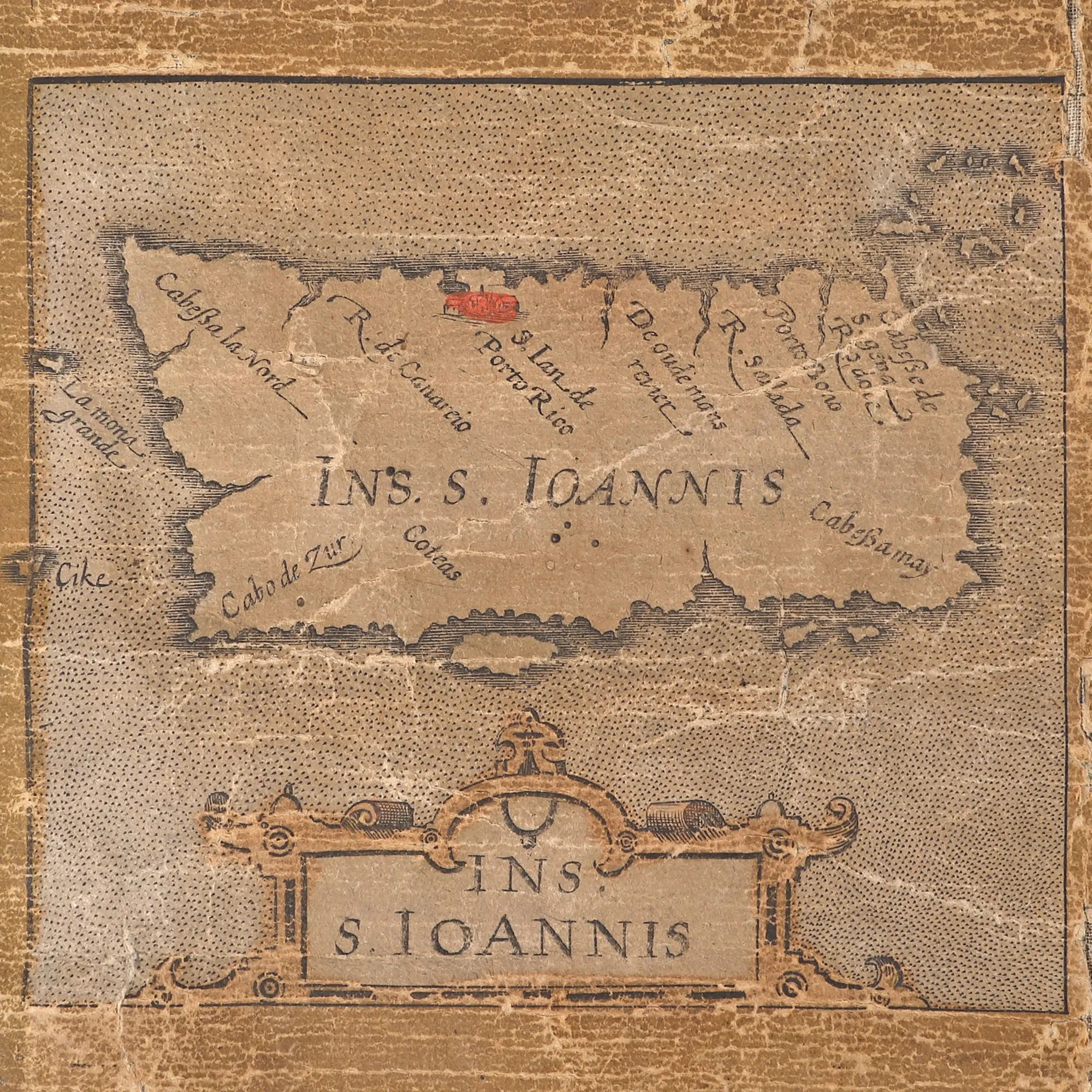
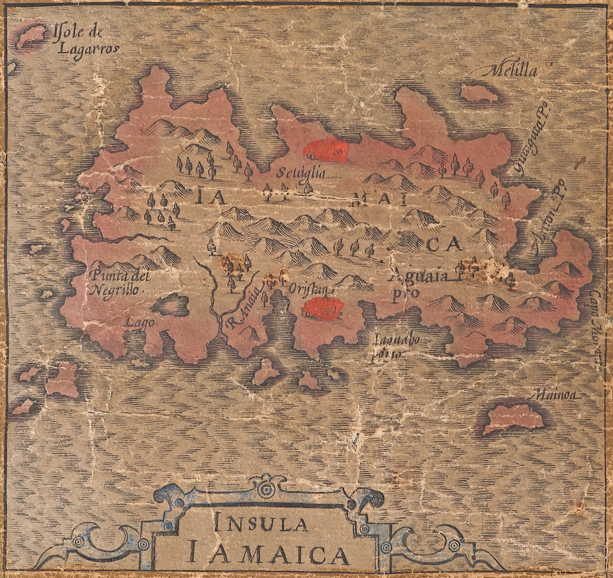
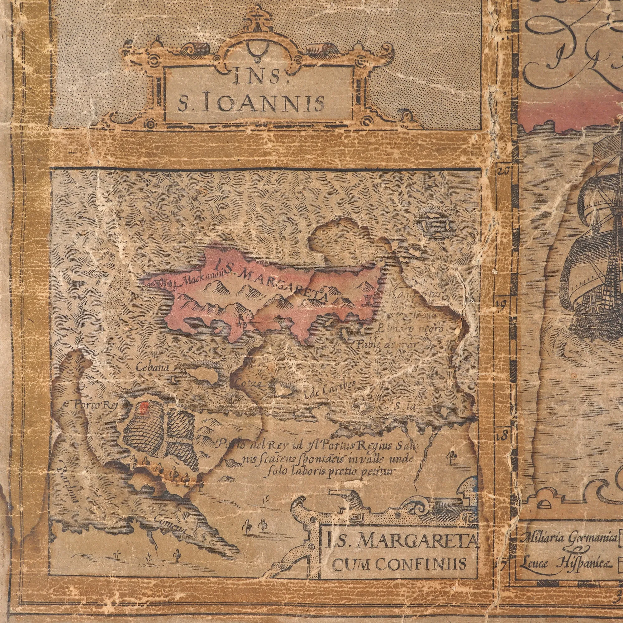
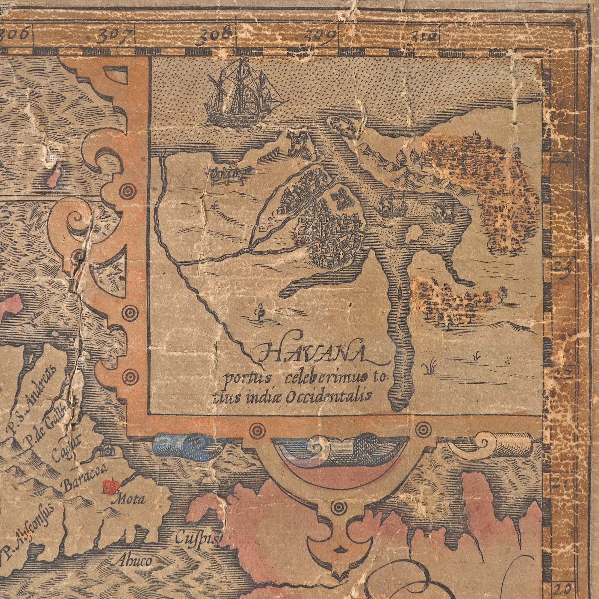
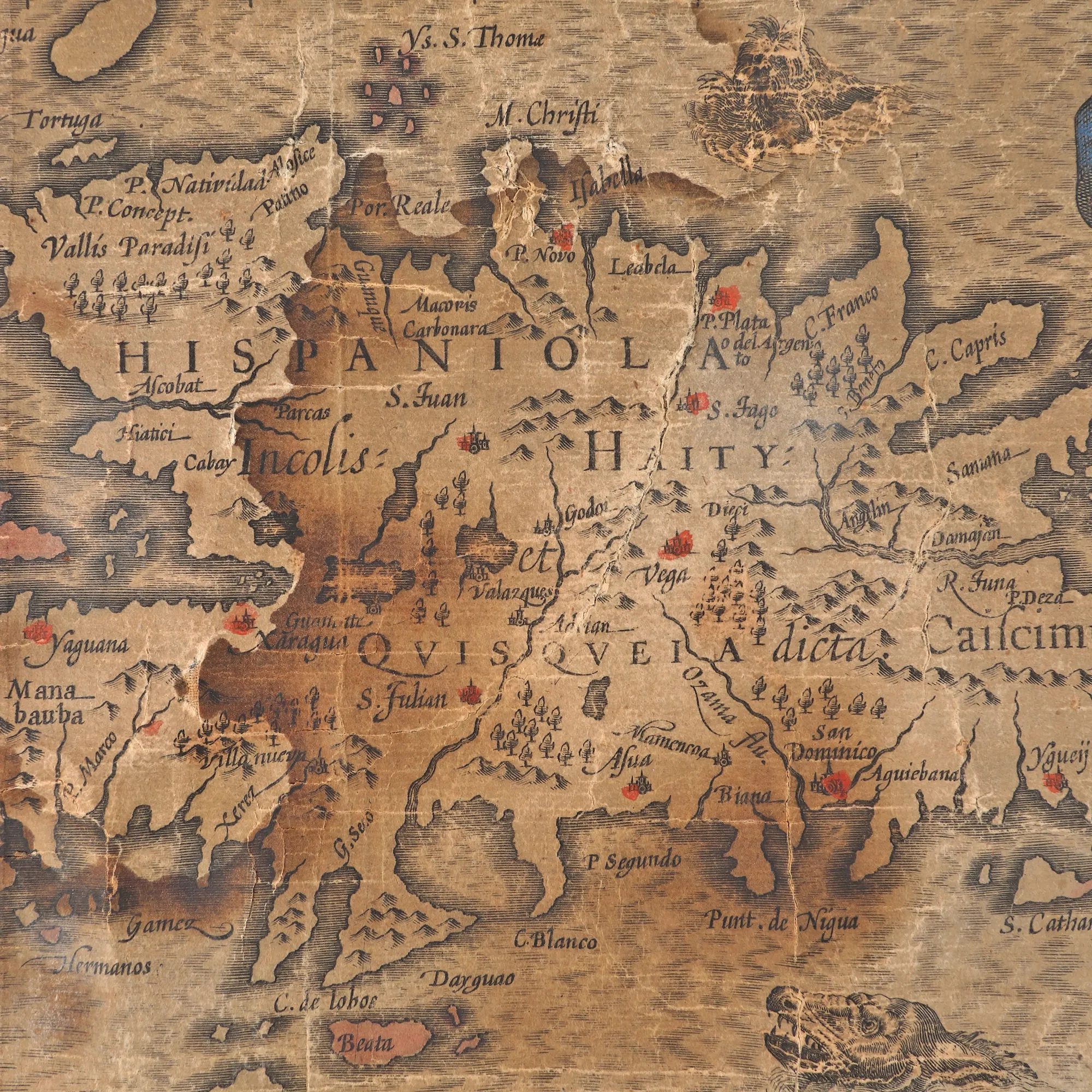
The map first appeared in the 1606 edition of the Atlas Sive Cosmographicae Meditationes de Fabrica Mundi et Fabricati Figure of cartographer Gerard Mercator. This map has been dated back to the beginning of the 17th century. This board includes five maps: three small ones, one below the other, towards the left edge (Jamaica Island, Island of St. John – Puerto Rico, Island of St. Margarita), and two larger ones occupying the rest of the space: Cuba, in the upper half, Hispaniola Island (Haiti and Santo Domingo), in the lower half. The title of each map appears in a rectangular cartouche.
Dimenzioniranje
Širina 60, Visina 44
Materijal
copper engraving, hand-coloured laid paper
Lokacija
Artmark românia